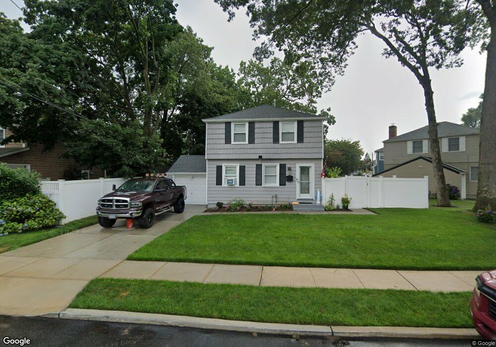
10 Dunstan Dr Merrick, NY 11566
Estimated Value: $624,914 - $779,000
--
Bed
1
Bath
1,290
Sq Ft
$544/Sq Ft
Est. Value
About This Home
This home is located at 10 Dunstan Dr, Merrick, NY 11566 and is currently estimated at $701,957, approximately $544 per square foot. 10 Dunstan Dr is a home located in Nassau County with nearby schools including Merrick Avenue Middle School, Sanford H Calhoun High School, and Sacred Heart School.
Ownership History
Date
Name
Owned For
Owner Type
Purchase Details
Closed on
Jun 30, 2023
Sold by
Speirs Nicholas and Verwys Neil J
Bought by
Premium Property Development Llc
Current Estimated Value
Purchase Details
Closed on
Nov 19, 2021
Sold by
Premium Property Development Llc
Bought by
Speirs Nicholas and Verwys Neil J
Home Financials for this Owner
Home Financials are based on the most recent Mortgage that was taken out on this home.
Original Mortgage
$495,000
Interest Rate
3.09%
Mortgage Type
New Conventional
Purchase Details
Closed on
Apr 19, 2021
Sold by
Laneve Marie and Laneve Sominick
Bought by
Premium Property Development Llc
Create a Home Valuation Report for This Property
The Home Valuation Report is an in-depth analysis detailing your home's value as well as a comparison with similar homes in the area
Home Values in the Area
Average Home Value in this Area
Purchase History
| Date | Buyer | Sale Price | Title Company |
|---|---|---|---|
| Premium Property Development Llc | -- | Judicial Title | |
| Premium Property Development Llc | -- | Judicial Title | |
| Speirs Nicholas | -- | Chicago Title | |
| Speirs Nicholas | -- | Chicago Title | |
| Premium Property Development Llc | $390,000 | Old Republic National Title | |
| Premium Property Development Llc | $390,000 | Old Republic National Title |
Source: Public Records
Mortgage History
| Date | Status | Borrower | Loan Amount |
|---|---|---|---|
| Previous Owner | Speirs Nicholas | $495,000 |
Source: Public Records
Tax History Compared to Growth
Tax History
| Year | Tax Paid | Tax Assessment Tax Assessment Total Assessment is a certain percentage of the fair market value that is determined by local assessors to be the total taxable value of land and additions on the property. | Land | Improvement |
|---|---|---|---|---|
| 2025 | $13,457 | $467 | $184 | $283 |
| 2024 | $3,954 | $520 | $205 | $315 |
| 2023 | $20,520 | $491 | $194 | $297 |
| 2022 | $20,520 | $520 | $205 | $315 |
| 2021 | $5,779 | $505 | $199 | $306 |
| 2020 | $5,613 | $839 | $609 | $230 |
| 2019 | $2,880 | $839 | $609 | $230 |
| 2018 | $2,880 | $839 | $0 | $0 |
| 2017 | $1,448 | $839 | $609 | $230 |
| 2016 | $4,449 | $839 | $609 | $230 |
| 2015 | $2,667 | $839 | $609 | $230 |
| 2014 | $2,667 | $839 | $609 | $230 |
| 2013 | $2,472 | $839 | $609 | $230 |
Source: Public Records
Map
Nearby Homes
- 1855 Zana Ct
- 1974 Monroe Ave
- 929 Oakland Ct
- 854 Oakland Ct
- 614 Bond Ct
- 1267 Taft Ave
- 985 Merrick Ave
- 59 Winifred Dr
- 1064 Barbara Ct
- 1016 Tyrus Ct
- 1425 Jerusalem Ave Unit 27
- 1317 Taft Ave
- 734 Wenwood Dr
- 2166 Isabelle Ct
- 935 Winthrop Dr
- 1963 Central Dr N
- 1963 Longfellow Ave
- 1450 Tadmor St
- 2013 Central Dr N
- 2418 Knob Hill Dr