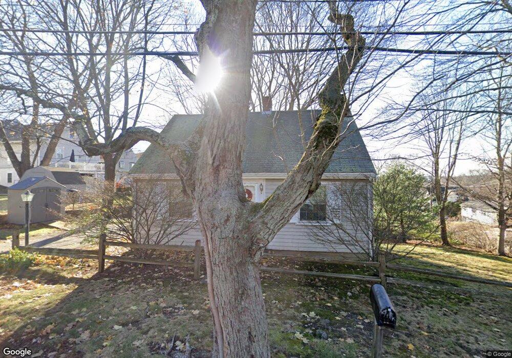
10 Dunster Ln Winchester, MA 01890
West Side NeighborhoodEstimated Value: $822,708 - $1,030,000
3
Beds
2
Baths
1,218
Sq Ft
$751/Sq Ft
Est. Value
About This Home
This home is located at 10 Dunster Ln, Winchester, MA 01890 and is currently estimated at $915,177, approximately $751 per square foot. 10 Dunster Ln is a home located in Middlesex County with nearby schools including Vinson-Owen Elementary School, McCall Middle School, and Winchester High School.
Create a Home Valuation Report for This Property
The Home Valuation Report is an in-depth analysis detailing your home's value as well as a comparison with similar homes in the area
Home Values in the Area
Average Home Value in this Area
Tax History Compared to Growth
Tax History
| Year | Tax Paid | Tax Assessment Tax Assessment Total Assessment is a certain percentage of the fair market value that is determined by local assessors to be the total taxable value of land and additions on the property. | Land | Improvement |
|---|---|---|---|---|
| 2025 | $81 | $732,800 | $522,200 | $210,600 |
| 2024 | $8,299 | $732,500 | $522,200 | $210,300 |
| 2023 | $7,992 | $677,300 | $478,700 | $198,600 |
| 2022 | $7,021 | $561,200 | $362,600 | $198,600 |
| 2021 | $7,108 | $554,000 | $355,400 | $198,600 |
| 2020 | $6,864 | $554,000 | $355,400 | $198,600 |
| 2019 | $6,007 | $496,000 | $297,400 | $198,600 |
| 2018 | $5,791 | $475,100 | $282,800 | $192,300 |
| 2017 | $5,501 | $448,000 | $268,300 | $179,700 |
| 2016 | $5,158 | $441,600 | $268,300 | $173,300 |
| 2015 | $4,963 | $408,800 | $243,000 | $165,800 |
| 2014 | $4,698 | $371,100 | $210,300 | $160,800 |
Source: Public Records
Map
Nearby Homes
- 281 Forest St
- 16 Ridge St
- 10 Viking Rd
- 6 Pawnee Dr
- 0 Reed St
- 257 High St
- 276 High St
- 12 Longmeadow Rd
- 189 High St
- 30 Whipple Rd
- 19 Cox Rd
- 14 Park Avenue Extension
- 4 Beck Rd
- 181 Lowell St
- 51 Lowell St
- 1 Watermill Place Unit 304
- 1 Watermill Place Unit 308
- 58 Westminster Ave Unit 58
- 139 High St
- 5 Azalea Rd