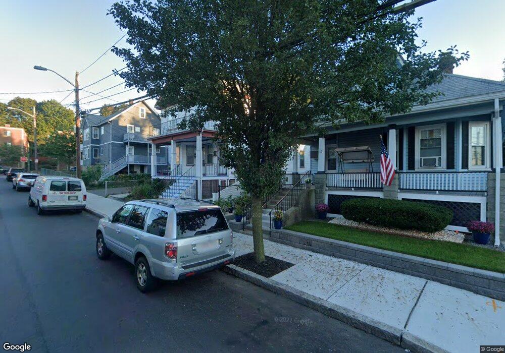
10 Dunster Rd Everett, MA 02149
Glendale NeighborhoodEstimated Value: $742,000 - $890,000
4
Beds
2
Baths
2,162
Sq Ft
$368/Sq Ft
Est. Value
About This Home
This home is located at 10 Dunster Rd, Everett, MA 02149 and is currently estimated at $795,583, approximately $367 per square foot. 10 Dunster Rd is a home located in Middlesex County with nearby schools including Everett High School and Pioneer Charter School of Science.
Ownership History
Date
Name
Owned For
Owner Type
Purchase Details
Closed on
Jun 3, 2010
Sold by
Doan Ft and Doan
Bought by
Tran Phuc N
Current Estimated Value
Home Financials for this Owner
Home Financials are based on the most recent Mortgage that was taken out on this home.
Original Mortgage
$244,000
Outstanding Balance
$164,728
Interest Rate
5.12%
Mortgage Type
Purchase Money Mortgage
Estimated Equity
$630,855
Purchase Details
Closed on
Aug 15, 2001
Sold by
Neilssien Rt and Naso
Bought by
Nguyen Simon B and Doan Thanh T
Home Financials for this Owner
Home Financials are based on the most recent Mortgage that was taken out on this home.
Original Mortgage
$140,000
Interest Rate
7.16%
Mortgage Type
Purchase Money Mortgage
Purchase Details
Closed on
Jun 28, 1990
Sold by
Staffiery Daniel J
Bought by
Neilssien Rt
Create a Home Valuation Report for This Property
The Home Valuation Report is an in-depth analysis detailing your home's value as well as a comparison with similar homes in the area
Home Values in the Area
Average Home Value in this Area
Purchase History
| Date | Buyer | Sale Price | Title Company |
|---|---|---|---|
| Tran Phuc N | $306,000 | -- | |
| Nguyen Simon B | $341,000 | -- | |
| Neilssien Rt | $106,000 | -- | |
| Neilssien Rt | $106,000 | -- |
Source: Public Records
Mortgage History
| Date | Status | Borrower | Loan Amount |
|---|---|---|---|
| Open | Tran Phuc N | $244,000 | |
| Previous Owner | Neilssien Rt | $140,000 |
Source: Public Records
Tax History Compared to Growth
Tax History
| Year | Tax Paid | Tax Assessment Tax Assessment Total Assessment is a certain percentage of the fair market value that is determined by local assessors to be the total taxable value of land and additions on the property. | Land | Improvement |
|---|---|---|---|---|
| 2025 | $8,132 | $714,000 | $251,900 | $462,100 |
| 2024 | $7,404 | $646,100 | $220,800 | $425,300 |
| 2023 | $7,228 | $613,600 | $211,200 | $402,400 |
| 2022 | $5,947 | $574,000 | $201,600 | $372,400 |
| 2021 | $5,317 | $538,700 | $180,400 | $358,300 |
| 2020 | $5,601 | $526,400 | $180,400 | $346,000 |
| 2019 | $5,939 | $479,700 | $171,800 | $307,900 |
| 2018 | $5,821 | $422,400 | $149,700 | $272,700 |
| 2017 | $5,522 | $382,400 | $134,400 | $248,000 |
| 2016 | $4,946 | $342,300 | $120,000 | $222,300 |
| 2015 | $4,633 | $317,100 | $108,200 | $208,900 |
Source: Public Records
Map
Nearby Homes
- 859 Broadway Unit 15
- 378 Ferry St
- 132 Vernal St
- 8 Parker St Unit 8
- 21 Hillside Ave Unit 21
- 10 Clay Ave
- 18 Lynn St
- 12 Holloway St
- 112 Hadley St
- 20 Fairmount St
- 33 Lodgen Ct Unit 4G
- 21 Central Ave Unit 10
- 21 Staples Ave Unit 26
- 272-274 Cross St Unit 1
- 272-274 Cross St Unit 4
- 272-274 Cross St Unit 3
- 272-274 Cross St Unit 5
- 272-274 Cross St Unit 2
- 74 Madison Ave
- 46 Garland St
- 16 Dunster Rd
- 852 Broadway
- 18 Dunster Rd
- 9 Kenwood Rd
- 844 Broadway
- 844 Broadway Unit 2
- 13 Kenwood Rd
- 13 Kenwood Rd Unit 1
- 850 Broadway
- 846 Broadway
- 846 Broadway Unit 1
- 20 Dunster Rd
- 20 Dunster Rd
- 20 Dunster Rd Unit 2
- 20 Dunster Rd Unit 3
- 20 Dunster Rd Unit 1
- 9 Dunster Rd
- 15 Dunster Rd
- 19 Kenwood Rd
- 17 Kenwood Rd