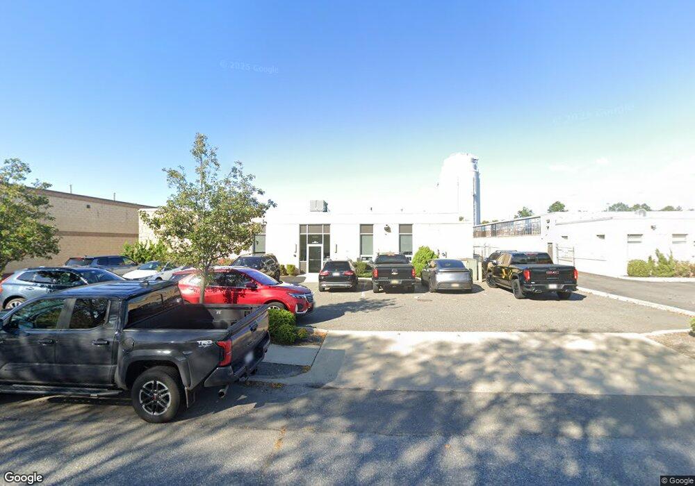
10 Dunton Ave Deer Park, NY 11729
Baywood NeighborhoodEstimated Value: $2,967,700
--
Bed
--
Bath
--
Sq Ft
2.43
Acres
About This Home
This home is located at 10 Dunton Ave, Deer Park, NY 11729 and is currently estimated at $2,967,700. 10 Dunton Ave is a home located in Suffolk County.
Ownership History
Date
Name
Owned For
Owner Type
Purchase Details
Closed on
May 11, 2004
Sold by
Emjay Associates
Bought by
10 Dunton Ave Realty Corp
Current Estimated Value
Home Financials for this Owner
Home Financials are based on the most recent Mortgage that was taken out on this home.
Original Mortgage
$1,200,000
Outstanding Balance
$577,628
Interest Rate
5.88%
Mortgage Type
Commercial
Estimated Equity
$2,390,072
Purchase Details
Closed on
Dec 28, 1998
Sold by
Ruisi Santo J
Bought by
Emjay Associates
Create a Home Valuation Report for This Property
The Home Valuation Report is an in-depth analysis detailing your home's value as well as a comparison with similar homes in the area
Home Values in the Area
Average Home Value in this Area
Purchase History
| Date | Buyer | Sale Price | Title Company |
|---|---|---|---|
| 10 Dunton Ave Realty Corp | $1,600,000 | -- | |
| 10 Dunton Ave Realty Corp | $1,600,000 | -- | |
| Emjay Associates | $1,200,000 | Chicago Title Insurance Co | |
| Emjay Associates | $1,200,000 | Chicago Title Insurance Co |
Source: Public Records
Mortgage History
| Date | Status | Borrower | Loan Amount |
|---|---|---|---|
| Open | 10 Dunton Ave Realty Corp | $1,200,000 | |
| Closed | 10 Dunton Ave Realty Corp | $1,200,000 |
Source: Public Records
Tax History Compared to Growth
Tax History
| Year | Tax Paid | Tax Assessment Tax Assessment Total Assessment is a certain percentage of the fair market value that is determined by local assessors to be the total taxable value of land and additions on the property. | Land | Improvement |
|---|---|---|---|---|
| 2024 | -- | $214,500 | $92,300 | $122,200 |
| 2023 | -- | $214,500 | $92,300 | $122,200 |
| 2022 | $65,643 | $214,500 | $92,300 | $122,200 |
| 2021 | $65,643 | $214,500 | $92,300 | $122,200 |
| 2020 | $66,770 | $214,500 | $92,300 | $122,200 |
| 2019 | $65,643 | $214,500 | $92,300 | $122,200 |
| 2018 | -- | $214,500 | $92,300 | $122,200 |
| 2017 | $69,979 | $214,500 | $92,300 | $122,200 |
| 2016 | $67,154 | $214,500 | $92,300 | $122,200 |
| 2015 | -- | $214,500 | $92,300 | $122,200 |
| 2014 | -- | $214,500 | $92,300 | $122,200 |
Source: Public Records
Map
Nearby Homes
- 1728 N Gardiner Dr
- 1707 N Gardiner Dr
- 1144 Martinstein Ave
- 1224 Fairbanks Ave
- 96 Quail Run Dr
- 22 Sunhollow Ct Unit 22
- 21 Chimney Ln
- 0 Brentwood St
- 29 Oregon St
- 45 Greenmeadow Ct
- 1706 Manatuck Blvd
- 48 Quail Run Dr
- 46 Sunburst Dr
- 0 Locust Dr Unit KEY913800
- 1727 Pine Grove Blvd
- 1609 N Thompson Dr
- 125 Burlington Ave
- 14 Osceola Ave
- 47 Prospect Place
- 6 Woodcreek Ct