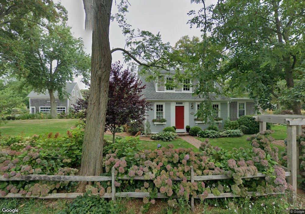
10 Dyer Prince Rd Unit 1 Eastham, MA 02642
Estimated Value: $969,000 - $1,096,000
5
Beds
5
Baths
2,549
Sq Ft
$405/Sq Ft
Est. Value
About This Home
This home is located at 10 Dyer Prince Rd Unit 1, Eastham, MA 02642 and is currently estimated at $1,031,742, approximately $404 per square foot. 10 Dyer Prince Rd Unit 1 is a home located in Barnstable County with nearby schools including Eastham Elementary School, Nauset Regional Middle School, and Nauset Regional High School.
Ownership History
Date
Name
Owned For
Owner Type
Purchase Details
Closed on
Aug 30, 2010
Sold by
Dorothy D Long Ft
Bought by
Vanderlaan 3Rd John and Vanderlaan Maria A
Current Estimated Value
Home Financials for this Owner
Home Financials are based on the most recent Mortgage that was taken out on this home.
Original Mortgage
$281,250
Outstanding Balance
$186,940
Interest Rate
4.57%
Mortgage Type
Purchase Money Mortgage
Estimated Equity
$844,802
Create a Home Valuation Report for This Property
The Home Valuation Report is an in-depth analysis detailing your home's value as well as a comparison with similar homes in the area
Home Values in the Area
Average Home Value in this Area
Purchase History
| Date | Buyer | Sale Price | Title Company |
|---|---|---|---|
| Vanderlaan 3Rd John | $375,000 | -- |
Source: Public Records
Mortgage History
| Date | Status | Borrower | Loan Amount |
|---|---|---|---|
| Open | Vanderlaan 3Rd John | $281,250 |
Source: Public Records
Tax History Compared to Growth
Tax History
| Year | Tax Paid | Tax Assessment Tax Assessment Total Assessment is a certain percentage of the fair market value that is determined by local assessors to be the total taxable value of land and additions on the property. | Land | Improvement |
|---|---|---|---|---|
| 2025 | $7,130 | $924,800 | $280,300 | $644,500 |
| 2024 | $6,294 | $897,800 | $272,100 | $625,700 |
| 2023 | $5,813 | $802,900 | $252,000 | $550,900 |
| 2022 | $5,542 | $645,900 | $225,000 | $420,900 |
| 2021 | $6,409 | $546,900 | $204,500 | $342,400 |
| 2020 | $6,397 | $567,700 | $260,900 | $306,800 |
| 2019 | $6,627 | $559,800 | $253,300 | $306,500 |
| 2018 | $4,945 | $529,400 | $245,900 | $283,500 |
| 2017 | $4,714 | $519,200 | $241,100 | $278,100 |
| 2016 | $3,899 | $524,000 | $250,800 | $273,200 |
| 2015 | $3,570 | $502,800 | $245,800 | $257,000 |
Source: Public Records
Map
Nearby Homes
- 59 Bridge Rd
- 385 Bridge Rd
- 181 Rock Harbor Rd
- 188 Rock Harbor Rd
- 339 Dyer Prince Rd
- 32 Locust Rd
- 8 Reilly Run
- 2 Reilly Run
- 5 Reilly Run
- 3 Reilly Run
- 7 Reilly Run
- 20 Boat Meadow Way
- 480 Dyer Prince Rd
- 150 Old State Hwy Unit Compound
- 2 Shell Ln
- 6 Defiance Ln
- 320 State Hwy
- 20 Namskaket Rd
- 13 S Orleans Rd Unit 28
- 20 White Pines Dr
- 10 Dyer Prince Rd
- 25 Bridge Rd
- 30 Dyer Prince Rd
- 85 Bridge Rd
- 31 Dyer Prince Rd
- 21 Dyer Prince Rd
- 70 Bridge Rd
- 58 Bridge Rd
- 105 Bridge Rd
- 40 Dyer Prince Rd
- 41 Dyer Prince Rd
- 55 Bridge Rd
- 42 Dyer Prince Rd
- 54 Bridge Rd
- 155 Bridge Rd
- 120 Bridge Rd
- 53 Bridge Rd
- 50 Dyer Prince Rd
- 80 Goody Hallett Dr
- 225 Bridge Rd