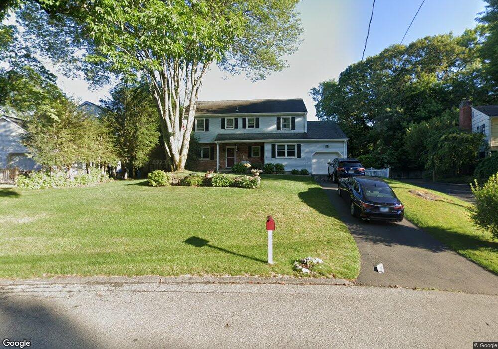
10 Dzamba Grove Stamford, CT 06903
North Stamford NeighborhoodEstimated Value: $878,992 - $1,001,000
4
Beds
3
Baths
2,642
Sq Ft
$359/Sq Ft
Est. Value
About This Home
This home is located at 10 Dzamba Grove, Stamford, CT 06903 and is currently estimated at $947,748, approximately $358 per square foot. 10 Dzamba Grove is a home located in Fairfield County with nearby schools including Northeast Elementary School, Turn of River School, and Westhill High School.
Ownership History
Date
Name
Owned For
Owner Type
Purchase Details
Closed on
Sep 9, 1988
Sold by
Clark Roger
Bought by
Carberry John
Current Estimated Value
Home Financials for this Owner
Home Financials are based on the most recent Mortgage that was taken out on this home.
Original Mortgage
$195,000
Interest Rate
10.43%
Mortgage Type
Purchase Money Mortgage
Create a Home Valuation Report for This Property
The Home Valuation Report is an in-depth analysis detailing your home's value as well as a comparison with similar homes in the area
Home Values in the Area
Average Home Value in this Area
Purchase History
| Date | Buyer | Sale Price | Title Company |
|---|---|---|---|
| Carberry John | $345,000 | -- |
Source: Public Records
Mortgage History
| Date | Status | Borrower | Loan Amount |
|---|---|---|---|
| Open | Carberry John | $118,974 | |
| Open | Carberry John | $400,200 | |
| Closed | Carberry John | $173,650 | |
| Closed | Carberry John | $195,000 |
Source: Public Records
Tax History Compared to Growth
Tax History
| Year | Tax Paid | Tax Assessment Tax Assessment Total Assessment is a certain percentage of the fair market value that is determined by local assessors to be the total taxable value of land and additions on the property. | Land | Improvement |
|---|---|---|---|---|
| 2025 | $10,307 | $442,910 | $195,760 | $247,150 |
| 2024 | $10,081 | $442,910 | $195,760 | $247,150 |
| 2023 | $10,834 | $442,910 | $195,760 | $247,150 |
| 2022 | $9,533 | $362,070 | $153,010 | $209,060 |
| 2021 | $9,403 | $362,070 | $153,010 | $209,060 |
| 2020 | $9,171 | $362,070 | $153,010 | $209,060 |
| 2019 | $9,171 | $362,070 | $153,010 | $209,060 |
| 2018 | $8,853 | $362,070 | $153,010 | $209,060 |
| 2017 | $9,587 | $374,640 | $180,800 | $193,840 |
| 2016 | $9,299 | $374,640 | $180,800 | $193,840 |
| 2015 | $9,044 | $374,640 | $180,800 | $193,840 |
| 2014 | $8,733 | $374,640 | $180,800 | $193,840 |
Source: Public Records
Map
Nearby Homes
- 185 Interlaken Rd
- 119 Wedgemere Rd
- 7 the Reserve at Sterling Ridge
- 210 Red Fox Rd
- 400 Wire Mill Rd
- 113 Skyview Ln
- 164 Janes Ln
- 39 Running Brook Ln
- 14 Barmore Dr
- 474 Ponus Ridge
- 38 Lancaster Place
- 107 Deepwood Rd
- 34 Bradley Place
- 56 Bradley Place
- 105 N Stamford Rd
- 1552 Hope St
- 77 Putter Dr
- 160 Wire Mill Rd
- 393 Upper Haig Ave
- 42 Hannahs Rd
- 36 Somerset Ln
- 16 Dzamba Grove
- 15 Dzamba Grove
- 7 Dzamba Grove
- 20 Dzamba Grove
- 26 Somerset Ln
- 41 Somerset Ln
- 46 Somerset Ln
- 33 Somerset Ln
- 26 Dzamba Grove
- 49 Somerset Ln
- 32 Dzamba Grove
- 52 Somerset Ln
- 71 Perna Ln
- 2 Hampton Ln
- 18 Somerset Ln
- 55 Somerset Ln
- 58 Somerset Ln
- 12 Somerset Ln
- 38 Dzamba Grove