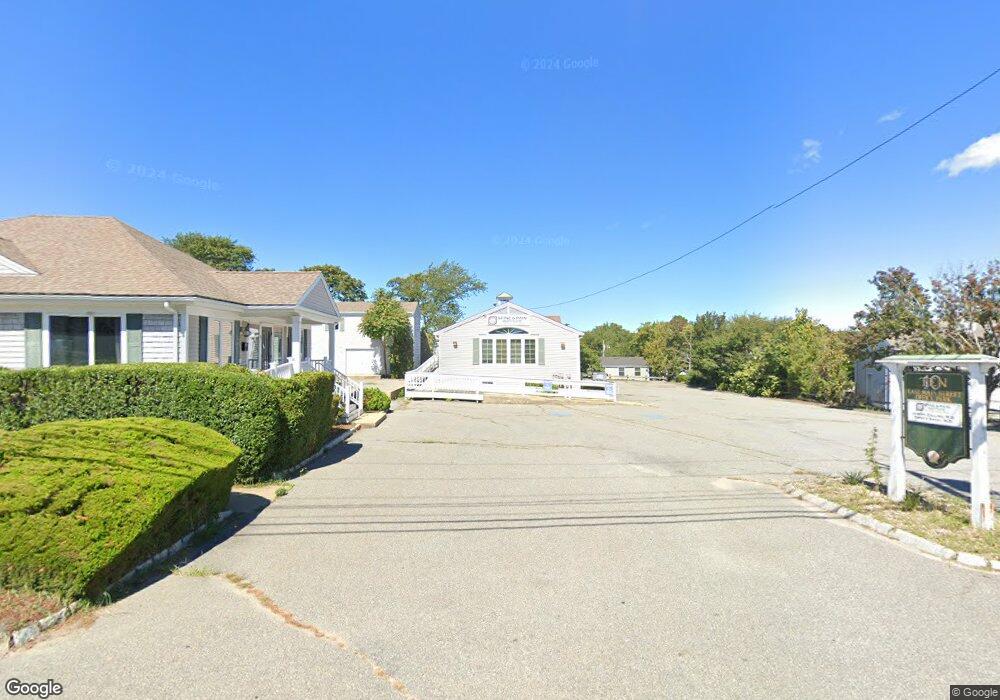
10 E Main St West Yarmouth, MA 2673
West Yarmouth NeighborhoodEstimated Value: $686,321
--
Bed
--
Bath
4,344
Sq Ft
$158/Sq Ft
Est. Value
About This Home
This home is located at 10 E Main St, West Yarmouth, MA 2673 and is currently estimated at $686,321, approximately $157 per square foot. 10 E Main St is a home located in Barnstable County with nearby schools including Hyannis West Elementary School, Barnstable United Elementary School, and Barnstable Intermediate School.
Ownership History
Date
Name
Owned For
Owner Type
Purchase Details
Closed on
Dec 12, 2017
Sold by
Lorraine A Sousa Ft
Bought by
Akkawi Brothers Llc
Current Estimated Value
Purchase Details
Closed on
Nov 19, 2013
Sold by
Sousa Lorraine A
Bought by
Lorraine A Sousa Ft
Purchase Details
Closed on
Nov 9, 1992
Sold by
Dellapace Alexander
Bought by
Sousa Joseph J and Sousa Lorraine A
Create a Home Valuation Report for This Property
The Home Valuation Report is an in-depth analysis detailing your home's value as well as a comparison with similar homes in the area
Home Values in the Area
Average Home Value in this Area
Purchase History
| Date | Buyer | Sale Price | Title Company |
|---|---|---|---|
| Akkawi Brothers Llc | $350,000 | -- | |
| Lorraine A Sousa Ft | -- | -- | |
| Lorraine A Sousa Ft | -- | -- | |
| Sousa Joseph J | $137,000 | -- |
Source: Public Records
Tax History Compared to Growth
Tax History
| Year | Tax Paid | Tax Assessment Tax Assessment Total Assessment is a certain percentage of the fair market value that is determined by local assessors to be the total taxable value of land and additions on the property. | Land | Improvement |
|---|---|---|---|---|
| 2025 | $3,870 | $546,600 | $260,100 | $286,500 |
| 2024 | $4,034 | $546,600 | $260,100 | $286,500 |
| 2023 | $3,766 | $464,400 | $211,700 | $252,700 |
| 2022 | $3,803 | $414,300 | $161,600 | $252,700 |
| 2021 | $3,961 | $414,300 | $161,600 | $252,700 |
| 2020 | $3,737 | $373,700 | $126,100 | $247,600 |
| 2019 | $3,774 | $373,700 | $126,100 | $247,600 |
| 2018 | $3,845 | $373,700 | $126,100 | $247,600 |
| 2017 | $3,744 | $373,700 | $126,100 | $247,600 |
| 2016 | $3,730 | $373,700 | $126,100 | $247,600 |
| 2015 | $3,878 | $386,300 | $131,800 | $254,500 |
Source: Public Records
Map
Nearby Homes
- 16 Iyannough Rd
- 22 Terry Ct
- 83 Main St
- 121 Camp St Unit 128
- 23 Baxter Ave
- 110 School St Unit E113
- 115 School St Unit W206
- 35 Pleasant St
- 49 Center St
- 107 Channel Point Rd
- 72 Grove St
- 321 Winter St
- 65 Louis St Unit A
- 12 Walnut St
- 0 Ken's Way
- 21 & 23 Glenwood St
- 61 Coolidge Rd
- 18 Rachel Rd
- 25 Ripple Cove Rd
- 248 Camp St Unit M5
- 6 Main St
- 6 Main St Unit 1 BLDG A
- 6 Main St
- 6 E Main St
- 1 Iyannough Rd
- 2 E Main St
- 5 E Main St
- 30 Iyannough Rd
- 9 E Main St
- 6 Main St Unit 5
- 6 Main St Unit 4
- 6 Main St Unit 3
- 6 Main St Unit B
- 14 Iyanough Rd
- 14 Iyanough Rd Unit 1
- 2 Iyanough Rd
- 17 E Main St
- 4 Bayview St
- 0 Main St Unit 14/15 20711925
- 0 Main St Unit C 9901114