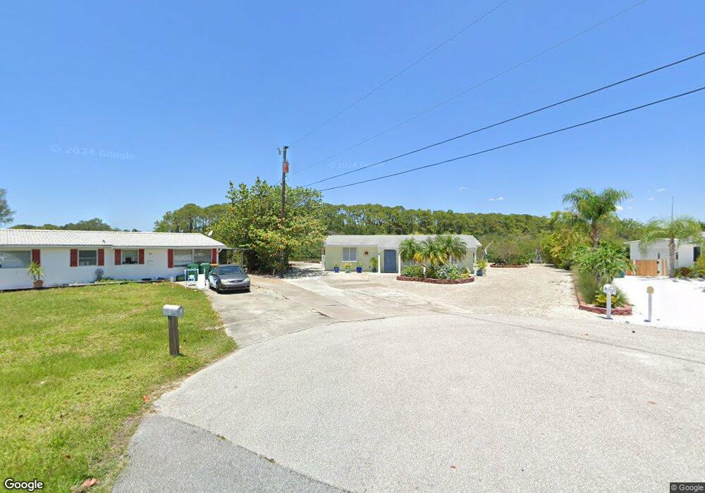
10 E Point Cir Englewood, FL 34224
Englewood South NeighborhoodEstimated Value: $313,700 - $425,000
2
Beds
2
Baths
1,162
Sq Ft
$320/Sq Ft
Est. Value
About This Home
This home is located at 10 E Point Cir, Englewood, FL 34224 and is currently estimated at $371,675, approximately $319 per square foot. 10 E Point Cir is a home located in Charlotte County with nearby schools including Myakka River Elementary School, L.A. Ainger Middle School, and Lemon Bay High School.
Ownership History
Date
Name
Owned For
Owner Type
Purchase Details
Closed on
Jan 21, 2025
Sold by
Jeruc William D and Jeruc Jane
Bought by
Carlson William D and Carlson Susan L
Current Estimated Value
Purchase Details
Closed on
Oct 10, 2019
Sold by
Bill & Bill Llc
Bought by
Jerus William D and Jerus Jane
Purchase Details
Closed on
Sep 30, 2010
Sold by
Lewis Robert E and Lewis Sandra L
Bought by
Bill & Bill Llc
Purchase Details
Closed on
Dec 5, 1997
Sold by
Oliver J Keith
Bought by
Lewis Robert E and Lewis Sandra L
Create a Home Valuation Report for This Property
The Home Valuation Report is an in-depth analysis detailing your home's value as well as a comparison with similar homes in the area
Home Values in the Area
Average Home Value in this Area
Purchase History
| Date | Buyer | Sale Price | Title Company |
|---|---|---|---|
| Carlson William D | $100 | None Listed On Document | |
| Jerus William D | -- | Accommodation | |
| Bill & Bill Llc | $145,000 | Msc Title Inc | |
| Lewis Robert E | $78,000 | -- |
Source: Public Records
Tax History Compared to Growth
Tax History
| Year | Tax Paid | Tax Assessment Tax Assessment Total Assessment is a certain percentage of the fair market value that is determined by local assessors to be the total taxable value of land and additions on the property. | Land | Improvement |
|---|---|---|---|---|
| 2023 | $4,901 | $232,437 | $0 | $0 |
| 2022 | $4,559 | $265,990 | $118,320 | $147,670 |
| 2021 | $4,053 | $201,917 | $81,600 | $120,317 |
| 2020 | $3,745 | $183,317 | $77,520 | $105,797 |
| 2019 | $3,850 | $181,450 | $77,520 | $103,930 |
| 2018 | $3,786 | $184,982 | $73,440 | $111,542 |
| 2017 | $3,593 | $174,026 | $73,440 | $100,586 |
| 2016 | $3,360 | $148,221 | $0 | $0 |
| 2015 | $3,156 | $134,746 | $0 | $0 |
| 2014 | $2,814 | $122,496 | $0 | $0 |
Source: Public Records
Map
Nearby Homes
- 1173 Brown St
- 1167 Delmar St
- 1195 Andrews St
- Lot 4B Andrews St
- Lot 3B Andrews St
- Lot 3A Andrews St
- Lot 2B Andrews St
- Lot 2A Andrews St
- 971 Lampp Dr
- 1005 E 2nd St
- 1030 Haste Ln
- 872 E 3rd St
- 1165 South Ln
- 1005 Alston Ln
- 1139 Drury Ln
- 914 E 2nd St
- 1020 Drury Ln
- 1340 Manor Rd
- 1231 Drury Ln
- 1305 Rocky Creek Ln