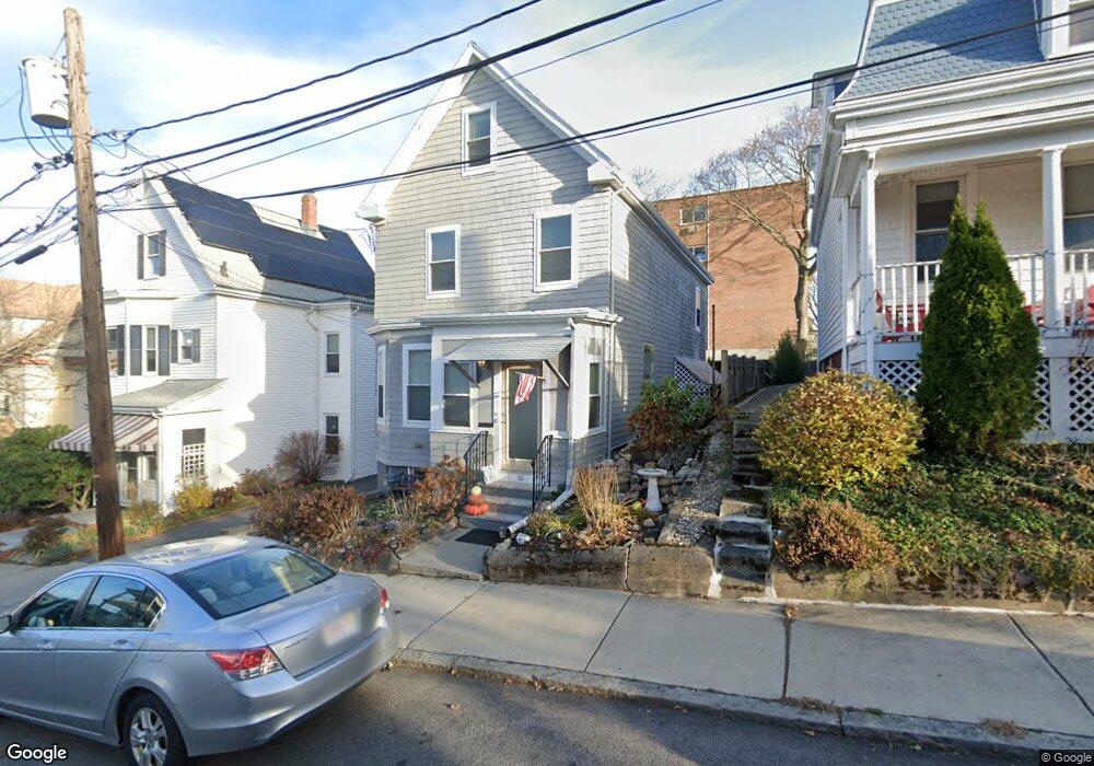
10 Eastman Rd Somerville, MA 02143
Spring Hill NeighborhoodEstimated Value: $1,201,000 - $1,918,000
4
Beds
3
Baths
1,968
Sq Ft
$787/Sq Ft
Est. Value
About This Home
This home is located at 10 Eastman Rd, Somerville, MA 02143 and is currently estimated at $1,549,141, approximately $787 per square foot. 10 Eastman Rd is a home located in Middlesex County with nearby schools including Somerville High School, Saint Theresa School, and St. Clement Elementary School.
Ownership History
Date
Name
Owned For
Owner Type
Purchase Details
Closed on
May 31, 2023
Sold by
Fodera Gaetano and Fodera Andrew E
Bought by
Cams Property Mgmt Llc
Current Estimated Value
Purchase Details
Closed on
Sep 30, 2010
Sold by
Sullivan Joseph H and Sullivan Gerald F
Bought by
Fodera Gaetano and Fodera Andrew E
Purchase Details
Closed on
Sep 2, 2010
Sold by
Sullivan Margaret M
Bought by
Sullivan Joseph H and Sullivan Gerald F
Purchase Details
Closed on
May 14, 2008
Sold by
Sullivan Jacqueline J and Sullivan Joseph H
Bought by
Sullivan Joseph H
Create a Home Valuation Report for This Property
The Home Valuation Report is an in-depth analysis detailing your home's value as well as a comparison with similar homes in the area
Home Values in the Area
Average Home Value in this Area
Purchase History
| Date | Buyer | Sale Price | Title Company |
|---|---|---|---|
| Cams Property Mgmt Llc | -- | None Available | |
| Fodera Gaetano | $150,000 | -- | |
| Sullivan Joseph H | -- | -- | |
| Sullivan Joseph H | -- | -- |
Source: Public Records
Tax History Compared to Growth
Tax History
| Year | Tax Paid | Tax Assessment Tax Assessment Total Assessment is a certain percentage of the fair market value that is determined by local assessors to be the total taxable value of land and additions on the property. | Land | Improvement |
|---|---|---|---|---|
| 2025 | $13,680 | $1,253,900 | $593,000 | $660,900 |
| 2024 | $12,803 | $1,217,000 | $593,000 | $624,000 |
| 2023 | $12,002 | $1,160,700 | $593,000 | $567,700 |
| 2022 | $11,133 | $1,093,600 | $564,700 | $528,900 |
| 2021 | $10,455 | $1,026,000 | $537,800 | $488,200 |
| 2020 | $9,812 | $972,400 | $517,200 | $455,200 |
| 2019 | $9,653 | $897,100 | $449,700 | $447,400 |
| 2018 | $9,324 | $824,400 | $408,800 | $415,600 |
| 2017 | $8,758 | $750,500 | $385,700 | $364,800 |
| 2016 | $8,503 | $678,600 | $352,800 | $325,800 |
| 2015 | $8,403 | $666,400 | $350,800 | $315,600 |
Source: Public Records
Map
Nearby Homes
- 156 Albion St Unit A
- 156 Albion St Unit B
- 8 Albion Terrace
- 3 Fairlee St
- 13 Warwick St
- 125 Lowell St Unit 4C
- 125 Lowell St Unit 203
- 125 Lowell St Unit 5A
- 125 Lowell St Unit 301
- 125 Lowell St Unit 7B
- 125 Lowell St Unit 201
- 125 Lowell St Unit 503
- 125 Lowell St Unit 302
- 125 Lowell St Unit 402
- 125 Lowell St Unit 202
- 125 Lowell St Unit 3C
- 125 Lowell St Unit 6A
- 80 Hudson St
- 12 Windsor Rd Unit 1
- 15 Spring Hill Terrace
- 8 Eastman Rd
- 14 Eastman Rd
- 16 Eastman Rd
- 16 Eastman Rd
- 16 Eastman Rd Unit 1
- 276 Highland Ave
- 272 Highland Ave Unit 1
- 272 Highland Ave
- 270 Highland Ave Unit 54
- 270 Highland Ave Unit 42
- 270 Highland Ave Unit 37
- 270 Highland Ave Unit 22
- 270 Highland Ave Unit 27
- 270 Highland Ave Unit 21
- 270 Highland Ave Unit 35
- 270 Highland Ave Unit 52
- 270 Highland Ave Unit 32
- 270 Highland Ave Unit 46
- 270 Highland Ave Unit 31
- 270 Highland Ave Unit 23