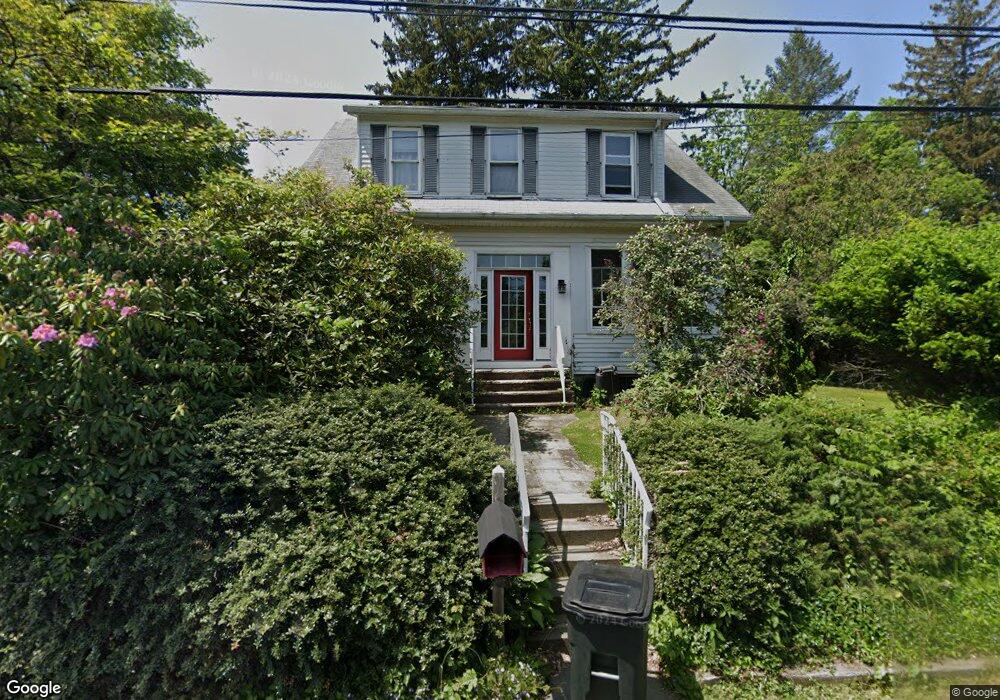
10 Edward St Sparkill, NY 10976
Estimated Value: $624,000 - $764,000
3
Beds
3
Baths
1,818
Sq Ft
$388/Sq Ft
Est. Value
About This Home
This home is located at 10 Edward St, Sparkill, NY 10976 and is currently estimated at $705,506, approximately $388 per square foot. 10 Edward St is a home located in Rockland County with nearby schools including William O Schaefer Elementary School, Cottage Lane Elementary School, and South Orangetown Middle School.
Ownership History
Date
Name
Owned For
Owner Type
Purchase Details
Closed on
Aug 29, 1996
Sold by
Furer Michael B and Furer Terri Sterger
Bought by
Goldstein Steven L and Lehnert Kerstin A
Current Estimated Value
Home Financials for this Owner
Home Financials are based on the most recent Mortgage that was taken out on this home.
Original Mortgage
$157,400
Outstanding Balance
$13,492
Interest Rate
8.18%
Mortgage Type
Construction
Estimated Equity
$692,014
Create a Home Valuation Report for This Property
The Home Valuation Report is an in-depth analysis detailing your home's value as well as a comparison with similar homes in the area
Home Values in the Area
Average Home Value in this Area
Purchase History
| Date | Buyer | Sale Price | Title Company |
|---|---|---|---|
| Goldstein Steven L | $224,900 | Lawyers Title Insurance Corp |
Source: Public Records
Mortgage History
| Date | Status | Borrower | Loan Amount |
|---|---|---|---|
| Open | Goldstein Steven L | $157,400 |
Source: Public Records
Tax History Compared to Growth
Tax History
| Year | Tax Paid | Tax Assessment Tax Assessment Total Assessment is a certain percentage of the fair market value that is determined by local assessors to be the total taxable value of land and additions on the property. | Land | Improvement |
|---|---|---|---|---|
| 2024 | $14,383 | $185,300 | $31,100 | $154,200 |
| 2023 | $14,383 | $185,300 | $31,100 | $154,200 |
| 2022 | $5,320 | $185,300 | $31,100 | $154,200 |
| 2021 | $11,480 | $185,300 | $31,100 | $154,200 |
| 2020 | $12,711 | $185,300 | $31,100 | $154,200 |
| 2019 | $4,962 | $185,300 | $31,100 | $154,200 |
| 2018 | $10,912 | $185,300 | $31,100 | $154,200 |
| 2017 | $10,535 | $185,300 | $31,100 | $154,200 |
| 2016 | $10,221 | $185,300 | $31,100 | $154,200 |
| 2015 | -- | $185,300 | $31,100 | $154,200 |
| 2014 | -- | $171,000 | $31,100 | $139,900 |
Source: Public Records
Map
Nearby Homes
- 8 Haring Ave
- 1 W Lawrence Park Dr Unit 10
- 3 W Lawrence Park Dr Unit 1
- 414 Kings Hwy
- 450 Valentine Ave
- 4 Deer Run
- 26 Van Terrace
- 210 Ferdon Ave
- 272 Piermont Ave
- 613 Route 9w
- 199 Tweed Blvd
- 201 Tweed Blvd
- 52 Broadway
- 21 Hartz Terrace
- 75 Tate Ave
- 9 Lawrence St
- 12 Blair Ct
- 13 Ash St
- 50 Franklin St
- 44-46 Kinney St