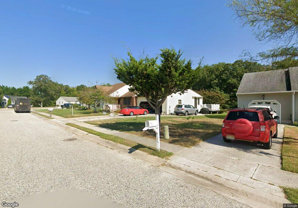
10 Eider Ln Cape May, NJ 08204
Estimated Value: $497,717 - $615,000
Studio
--
Bath
1,469
Sq Ft
$386/Sq Ft
Est. Value
About This Home
This home is located at 10 Eider Ln, Cape May, NJ 08204 and is currently estimated at $567,179, approximately $386 per square foot. 10 Eider Ln is a home located in Cape May County with nearby schools including David C. Douglass Veterans Memorial School, Carl T. Mitnick School, and Maud Abrams School.
Ownership History
Date
Name
Owned For
Owner Type
Purchase Details
Closed on
Nov 18, 2003
Sold by
Hawryliw Daniel
Bought by
Krefski Jerome C and Krefski Regina J
Current Estimated Value
Home Financials for this Owner
Home Financials are based on the most recent Mortgage that was taken out on this home.
Original Mortgage
$187,000
Outstanding Balance
$86,874
Interest Rate
6.03%
Estimated Equity
$480,305
Purchase Details
Closed on
Jan 25, 1996
Sold by
Bay Gardens Inc
Bought by
Hawryliw Daniel and Hawryliw Helen
Create a Home Valuation Report for This Property
The Home Valuation Report is an in-depth analysis detailing your home's value as well as a comparison with similar homes in the area
Home Values in the Area
Average Home Value in this Area
Purchase History
| Date | Buyer | Sale Price | Title Company |
|---|---|---|---|
| Krefski Jerome C | $257,000 | -- | |
| Hawryliw Daniel | $124,250 | -- |
Source: Public Records
Mortgage History
| Date | Status | Borrower | Loan Amount |
|---|---|---|---|
| Open | Krefski Jerome C | $187,000 |
Source: Public Records
Tax History
| Year | Tax Paid | Tax Assessment Tax Assessment Total Assessment is a certain percentage of the fair market value that is determined by local assessors to be the total taxable value of land and additions on the property. | Land | Improvement |
|---|---|---|---|---|
| 2025 | $5,135 | $253,700 | $115,900 | $137,800 |
| 2024 | $5,135 | $253,700 | $115,900 | $137,800 |
Source: Public Records
Map
Nearby Homes
- 7 Merganser Ct
- 210 Pontaxit Ave
- 3311 Bayshore Rd Unit D-6
- 156 Fishing Creek Rd
- 140 Fishing Creek Rd
- 15 Osprey Dr
- 15 Plover St
- 15 Davis Place Unit 15
- 14 Thistle Ln
- 240 Marshall Rd
- 238 Marshall Rd
- 236 Marshall Rd
- 217 Mindy Ave
- 44 Heron Way
- 56 Breakwater Terrace Unit 56
- 207 Amhurst Rd
- 200 Willow Dr
- 207 Old Mill Dr
- 127 Sheridan Dr
- 118 Old Mill Dr
Your Personal Tour Guide
Ask me questions while you tour the home.