10 Elder Place Denville, NJ 07834
Estimated Value: $884,582 - $1,014,000
--
Bed
--
Bath
3,083
Sq Ft
$305/Sq Ft
Est. Value
About This Home
This home is located at 10 Elder Place, Denville, NJ 07834 and is currently estimated at $938,896, approximately $304 per square foot. 10 Elder Place is a home located in Morris County with nearby schools including Lakeview Elementary School and Valleyview Middle School.
Ownership History
Date
Name
Owned For
Owner Type
Purchase Details
Closed on
Aug 27, 2018
Sold by
Bosshardt Ronald G and Bosshardt Janet
Bought by
Dix Eric J and Dix Danielle L
Current Estimated Value
Home Financials for this Owner
Home Financials are based on the most recent Mortgage that was taken out on this home.
Original Mortgage
$474,400
Outstanding Balance
$412,853
Interest Rate
4.5%
Mortgage Type
New Conventional
Estimated Equity
$526,043
Create a Home Valuation Report for This Property
The Home Valuation Report is an in-depth analysis detailing your home's value as well as a comparison with similar homes in the area
Home Values in the Area
Average Home Value in this Area
Purchase History
| Date | Buyer | Sale Price | Title Company |
|---|---|---|---|
| Dix Eric J | $593,400 | Simplicity Title |
Source: Public Records
Mortgage History
| Date | Status | Borrower | Loan Amount |
|---|---|---|---|
| Open | Dix Eric J | $474,400 |
Source: Public Records
Tax History Compared to Growth
Tax History
| Year | Tax Paid | Tax Assessment Tax Assessment Total Assessment is a certain percentage of the fair market value that is determined by local assessors to be the total taxable value of land and additions on the property. | Land | Improvement |
|---|---|---|---|---|
| 2025 | $15,475 | $561,500 | $235,600 | $325,900 |
| 2024 | $14,852 | $561,500 | $235,600 | $325,900 |
| 2023 | $14,852 | $561,500 | $235,600 | $325,900 |
| 2022 | $14,223 | $561,500 | $235,600 | $325,900 |
| 2021 | $13,959 | $561,500 | $235,600 | $325,900 |
| 2020 | $14,105 | $561,500 | $235,600 | $325,900 |
| 2019 | $13,959 | $561,500 | $235,600 | $325,900 |
| 2018 | $13,830 | $561,500 | $235,600 | $325,900 |
| 2017 | $13,717 | $561,500 | $235,600 | $325,900 |
| 2016 | $13,397 | $561,500 | $235,600 | $325,900 |
| 2015 | $12,965 | $423,700 | $184,500 | $239,200 |
| 2014 | $12,703 | $423,700 | $184,500 | $239,200 |
Source: Public Records
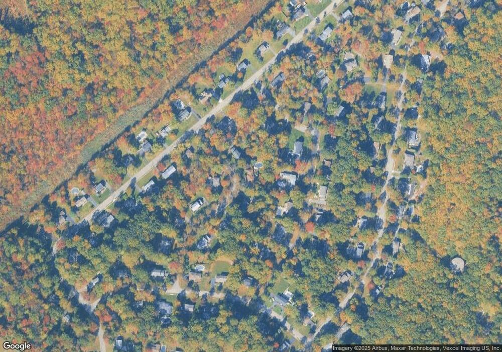
Map
Nearby Homes
- 18 Birch Run Ave
- 58 Cooper Rd
- 17 Freeman Ave
- 25 Freeman Ave
- 23 Wadsworth Dr Unit 6
- 11 Wadsworth Dr Unit 6
- 7 Wadsworth Dr Unit 6
- 3 Wadsworth Dr Unit 6
- Isleton Plan at Mason Ridge
- Ashton Plan at Mason Ridge
- 10 Wadsworth Dr Unit 2
- 6 Wadsworth Dr Unit 5
- 31 Station Rd
- 22 General Winds Way Unit 6
- 24 General Winds Way Unit 1
- 3104 Peer Place
- 1466 Tabor Rd
- 19 Way Unit 2
- 2 Castaby Way
- 133 E Shore Rd