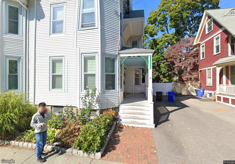
10 Elm St Unit 2,10 Brookline, MA 02445
Brookline Village NeighborhoodEstimated Value: $1,896,000 - $2,201,000
5
Beds
3
Baths
2,692
Sq Ft
$742/Sq Ft
Est. Value
About This Home
This home is located at 10 Elm St Unit 2,10, Brookline, MA 02445 and is currently estimated at $1,998,458, approximately $742 per square foot. 10 Elm St Unit 2,10 is a home located in Norfolk County with nearby schools including Pierce School, St. Mary of the Assumption Elementary School, and Maimonides School.
Ownership History
Date
Name
Owned For
Owner Type
Purchase Details
Closed on
Jan 20, 2012
Sold by
Cunningham Carisa and Hilts Philip
Bought by
Kong Tianqing and Xu Dawson
Current Estimated Value
Home Financials for this Owner
Home Financials are based on the most recent Mortgage that was taken out on this home.
Original Mortgage
$417,000
Outstanding Balance
$272,151
Interest Rate
3%
Mortgage Type
Adjustable Rate Mortgage/ARM
Estimated Equity
$1,726,307
Purchase Details
Closed on
Nov 23, 1999
Sold by
Murdock Richard P and Murdock Lucy R
Bought by
Hilts Philip
Create a Home Valuation Report for This Property
The Home Valuation Report is an in-depth analysis detailing your home's value as well as a comparison with similar homes in the area
Home Values in the Area
Average Home Value in this Area
Purchase History
| Date | Buyer | Sale Price | Title Company |
|---|---|---|---|
| Kong Tianqing | $910,000 | -- | |
| Hilts Philip | $549,000 | -- |
Source: Public Records
Mortgage History
| Date | Status | Borrower | Loan Amount |
|---|---|---|---|
| Open | Hilts Philip | $417,000 | |
| Closed | Hilts Philip | $220,000 |
Source: Public Records
Tax History Compared to Growth
Tax History
| Year | Tax Paid | Tax Assessment Tax Assessment Total Assessment is a certain percentage of the fair market value that is determined by local assessors to be the total taxable value of land and additions on the property. | Land | Improvement |
|---|---|---|---|---|
| 2025 | $16,076 | $1,628,800 | $0 | $1,628,800 |
| 2024 | $15,602 | $1,596,900 | $0 | $1,596,900 |
| 2023 | $15,125 | $1,517,100 | $0 | $1,517,100 |
| 2022 | $15,010 | $1,473,000 | $0 | $1,473,000 |
| 2021 | $14,292 | $1,458,400 | $0 | $1,458,400 |
| 2020 | $13,646 | $1,444,000 | $0 | $1,444,000 |
| 2019 | $12,887 | $1,375,300 | $0 | $1,375,300 |
| 2018 | $12,391 | $1,309,800 | $0 | $1,309,800 |
| 2017 | $11,981 | $1,212,700 | $0 | $1,212,700 |
| 2016 | $11,488 | $1,102,500 | $0 | $1,102,500 |
| 2015 | $10,624 | $994,800 | $0 | $994,800 |
| 2014 | $10,450 | $917,500 | $0 | $917,500 |
Source: Public Records
Map
Nearby Homes
- 72 Cypress St Unit 1
- 3 Gorham Ave Unit 5
- 37 Waverly St Unit 39
- 71 Greenough St Unit 71-1
- 87 Greenough St Unit 1
- 87 Greenough St Unit 2
- 11 Goodwin Place Unit 11-2
- 12 Goodwin Place Unit 12-1
- 12 Goodwin Place Unit 12-2
- 9 Greenough St
- 21 Hancock Rd
- 105 Sumner Rd
- 18 Cushing Rd
- 57 Harvard Ave Unit 1
- 20 Rice St Unit 2
- 5 Auburn Ct Unit 1
- 24 Auburn St Unit 1
- 24 Auburn St Unit 2
- 24 Auburn St Unit 3
- 14 Linden St Unit 8
- 10 Elm St
- 8 Elm St
- 16 Elm St
- 131 Davis Ave Unit 2
- 131 Davis Ave Unit 1
- 131 Davis Ave Unit 2,2
- 135 Davis Ave Unit 2
- 135 Davis Ave Unit 1
- 78 Cypress St Unit 4
- 76 Cypress St Unit 3
- 78 Cypress St Unit 2
- 76 Cypress St Unit 1
- 76 Cypress St Unit 2
- 78 Cypress St
- 76 Cypress St
- 13 Elm St
- 123 Davis Ave
- 139 Davis Ave Unit 8
- 139 Davis Ave Unit 6
- 15 Elm St Unit 17