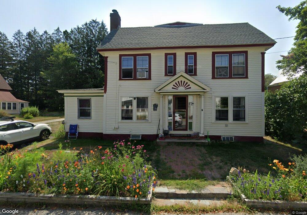
10 Elm St Parsonsfield, ME 04047
Estimated Value: $277,374 - $382,000
4
Beds
1
Bath
900
Sq Ft
$351/Sq Ft
Est. Value
About This Home
This home is located at 10 Elm St, Parsonsfield, ME 04047 and is currently estimated at $315,844, approximately $350 per square foot. 10 Elm St is a home.
Create a Home Valuation Report for This Property
The Home Valuation Report is an in-depth analysis detailing your home's value as well as a comparison with similar homes in the area
Home Values in the Area
Average Home Value in this Area
Tax History Compared to Growth
Tax History
| Year | Tax Paid | Tax Assessment Tax Assessment Total Assessment is a certain percentage of the fair market value that is determined by local assessors to be the total taxable value of land and additions on the property. | Land | Improvement |
|---|---|---|---|---|
| 2024 | $2,848 | $169,500 | $43,438 | $126,062 |
| 2023 | $2,746 | $169,500 | $43,438 | $126,062 |
| 2022 | $2,627 | $169,500 | $43,438 | $126,062 |
| 2021 | $2,619 | $169,500 | $43,438 | $126,062 |
| 2020 | $4,006 | $169,500 | $43,438 | $126,062 |
| 2019 | $2,526 | $169,500 | $43,438 | $126,062 |
| 2017 | $3,104 | $169,500 | $43,438 | $126,062 |
| 2016 | $2,950 | $169,500 | $43,438 | $126,062 |
| 2015 | $2,543 | $169,500 | $43,438 | $126,062 |
| 2013 | $2,475 | $169,500 | $43,438 | $126,062 |
Source: Public Records
Map
Nearby Homes
- 12 Main St
- 32 Summer St
- 122 Ossipee Trail
- 35 Pine St
- 248 Spec Pond Rd
- 266 S Hiram Rd
- 206 Gilman Rd
- R3-32 Ossipee Trail
- 272 Tripptown Rd
- 761 Pendexter Rd
- 42AC Ben Gilpatrick Rd
- 00 Brownfield Rd
- 62 Eastman Hill Rd
- 696 S Hiram Rd
- 96 Maple St
- 839 Brownfield Rd
- Lot #00 North Rd
- Lot# 01 North Rd
- Lot #02 North Rd
- 0 S River Ln Unit 1641807