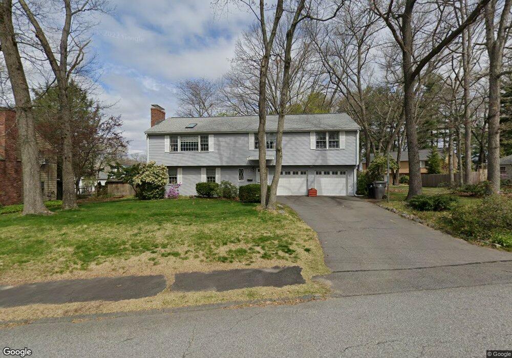
10 Emily Rd Framingham, MA 01701
Estimated Value: $664,000 - $767,000
5
Beds
4
Baths
1,736
Sq Ft
$410/Sq Ft
Est. Value
About This Home
This home is located at 10 Emily Rd, Framingham, MA 01701 and is currently estimated at $710,958, approximately $409 per square foot. 10 Emily Rd is a home located in Middlesex County with nearby schools including Framingham High School, Christa McAuliffe Charter School, and Happy Hollow School.
Create a Home Valuation Report for This Property
The Home Valuation Report is an in-depth analysis detailing your home's value as well as a comparison with similar homes in the area
Home Values in the Area
Average Home Value in this Area
Tax History
| Year | Tax Paid | Tax Assessment Tax Assessment Total Assessment is a certain percentage of the fair market value that is determined by local assessors to be the total taxable value of land and additions on the property. | Land | Improvement |
|---|---|---|---|---|
| 2025 | $7,879 | $659,900 | $260,000 | $399,900 |
| 2024 | $7,582 | $608,500 | $232,200 | $376,300 |
| 2023 | $7,142 | $545,600 | $207,200 | $338,400 |
| 2022 | $6,800 | $494,900 | $188,000 | $306,900 |
| 2021 | $6,813 | $484,900 | $180,800 | $304,100 |
| 2020 | $6,943 | $463,500 | $164,200 | $299,300 |
| 2019 | $6,813 | $443,000 | $164,200 | $278,800 |
| 2018 | $6,690 | $409,900 | $158,100 | $251,800 |
| 2017 | $6,442 | $385,500 | $153,500 | $232,000 |
| 2016 | $6,349 | $365,300 | $153,500 | $211,800 |
| 2015 | $6,388 | $358,500 | $153,900 | $204,600 |
Source: Public Records
Map
Nearby Homes
- 8 Emily Rd
- 30 Donlon St
- 7 Ballydrain Rd
- 108 Cherry St
- 35 Gleason St
- 447 Old Connecticut Path
- Lot 3 Murray Hill Rd
- 14 Ridgefield Dr
- 689 Old Connecticut Path
- 30 A St
- 13 Hamilton St
- 11 Danforth Park Rd
- 46 Cochituate Rd Unit 106
- 106 Danforth St
- 107 Lockland Ave
- 40 Nouvelle Way Unit 441
- 46 Brookfield Cir
- 27 Valentine Rd
- 189 Danforth St
- 46 Perry Henderson Dr
Your Personal Tour Guide
Ask me questions while you tour the home.