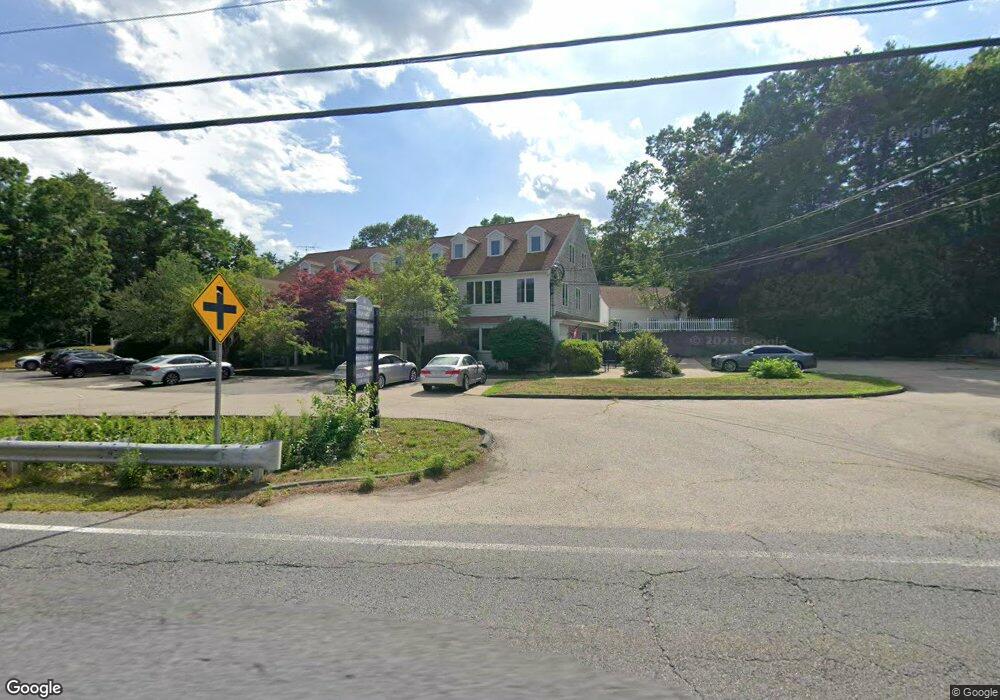
10 Enterprise St Unit 9 Duxbury, MA 02332
Estimated Value: $282,047
--
Bed
1
Bath
918
Sq Ft
$307/Sq Ft
Est. Value
About This Home
This home is located at 10 Enterprise St Unit 9, Duxbury, MA 02332 and is currently estimated at $282,047, approximately $307 per square foot. 10 Enterprise St Unit 9 is a home located in Plymouth County with nearby schools including Chandler Elementary School, Alden School, and Duxbury Middle School.
Ownership History
Date
Name
Owned For
Owner Type
Purchase Details
Closed on
Jan 27, 2000
Sold by
Mcgee Enterprise Rt and Mcgee Robert M
Bought by
Marquis Sharren J
Current Estimated Value
Home Financials for this Owner
Home Financials are based on the most recent Mortgage that was taken out on this home.
Original Mortgage
$100,000
Outstanding Balance
$32,260
Interest Rate
7.83%
Mortgage Type
Commercial
Estimated Equity
$249,787
Create a Home Valuation Report for This Property
The Home Valuation Report is an in-depth analysis detailing your home's value as well as a comparison with similar homes in the area
Home Values in the Area
Average Home Value in this Area
Purchase History
| Date | Buyer | Sale Price | Title Company |
|---|---|---|---|
| Marquis Sharren J | $105,000 | -- |
Source: Public Records
Mortgage History
| Date | Status | Borrower | Loan Amount |
|---|---|---|---|
| Open | Marquis Sharren J | $100,000 |
Source: Public Records
Tax History Compared to Growth
Tax History
| Year | Tax Paid | Tax Assessment Tax Assessment Total Assessment is a certain percentage of the fair market value that is determined by local assessors to be the total taxable value of land and additions on the property. | Land | Improvement |
|---|---|---|---|---|
| 2025 | $2,054 | $202,600 | $0 | $202,600 |
| 2024 | $2,038 | $202,600 | $0 | $202,600 |
| 2023 | $1,902 | $177,900 | $0 | $177,900 |
| 2022 | $2,284 | $177,900 | $0 | $177,900 |
| 2021 | $2,576 | $177,900 | $0 | $177,900 |
| 2020 | $2,608 | $177,900 | $0 | $177,900 |
| 2019 | $2,510 | $171,000 | $0 | $171,000 |
| 2018 | $2,479 | $163,500 | $0 | $163,500 |
| 2017 | $2,536 | $163,500 | $0 | $163,500 |
| 2016 | $2,542 | $163,500 | $0 | $163,500 |
| 2015 | $2,551 | $163,500 | $0 | $163,500 |
Source: Public Records
Map
Nearby Homes
- 10 Enterprise St Unit 5
- 9 S Pasture Ln
- 25 Hawthorn Hill
- 112 Partridge Brook Cir
- 33 Herring Weir Rd
- 62 Teakettle Ln
- 1141 Tremont St
- 47 Teakettle Ln
- 387 Lot 4A Old Cove Rd
- 387 Lot 2A Old Cove Rd
- 387 Lot 3A Old Cove Rd
- 431 Moraine St
- 5 Adelaide Way
- 39 Bay Pond Rd
- 54 Chapel St
- 590 Washington St
- 477 Webster St
- 37 Walnut St
- 512 Lincoln St
- 555 Webster St
- 10 Church St Unit 3
- 10 Enterprise St Unit 4
- 10 Enterprise St Unit 3
- 10 Enterprise St Unit 1
- 10 Church St Unit 5
- 10 Church St
- 10 Enterprise St
- 34 Church St
- 1508 Tremont St
- 1508 Tremont St Unit 3
- 1508 Tremont St Unit 1
- 1508 Tremont St Unit 2
- 1514 Tremont St Unit 4
- 19 Church St
- 27 Church St
- 9 Church St
- 9 Church St Unit 1
- 44 Church St
- 1 Enterprise St
- 15 Church St