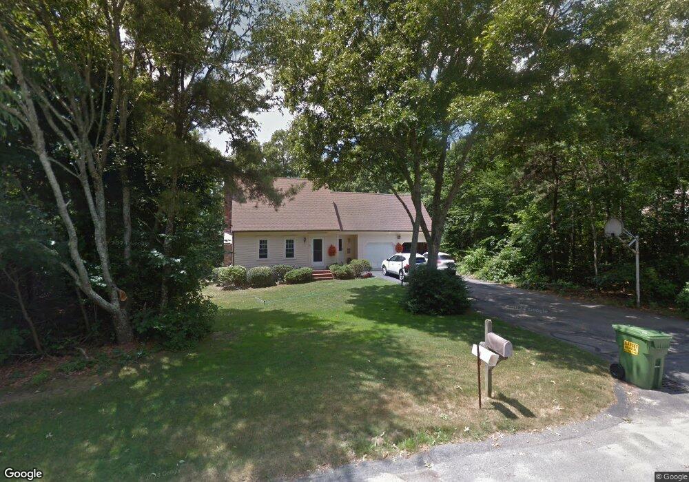
10 Evergreen Dr Sandwich, MA 02563
Estimated Value: $464,000 - $637,000
3
Beds
3
Baths
1,684
Sq Ft
$352/Sq Ft
Est. Value
About This Home
This home is located at 10 Evergreen Dr, Sandwich, MA 02563 and is currently estimated at $592,151, approximately $351 per square foot. 10 Evergreen Dr is a home located in Barnstable County with nearby schools including Sandwich Middle High School and Montessori School of Sandwich.
Ownership History
Date
Name
Owned For
Owner Type
Purchase Details
Closed on
Jun 23, 2023
Sold by
Lanoie Melissa J
Bought by
Lanoie Melissa J and Picariello James J
Current Estimated Value
Purchase Details
Closed on
Jun 17, 1985
Bought by
Lanoie Albert J and Lanoie Claire M
Create a Home Valuation Report for This Property
The Home Valuation Report is an in-depth analysis detailing your home's value as well as a comparison with similar homes in the area
Home Values in the Area
Average Home Value in this Area
Purchase History
| Date | Buyer | Sale Price | Title Company |
|---|---|---|---|
| Lanoie Melissa J | -- | None Available | |
| Lanoie Albert J | -- | -- |
Source: Public Records
Mortgage History
| Date | Status | Borrower | Loan Amount |
|---|---|---|---|
| Previous Owner | Lanoie Albert J | $90,000 | |
| Previous Owner | Lanoie Albert J | $107,000 |
Source: Public Records
Tax History Compared to Growth
Tax History
| Year | Tax Paid | Tax Assessment Tax Assessment Total Assessment is a certain percentage of the fair market value that is determined by local assessors to be the total taxable value of land and additions on the property. | Land | Improvement |
|---|---|---|---|---|
| 2025 | $5,655 | $535,000 | $164,600 | $370,400 |
| 2024 | $5,361 | $496,400 | $147,000 | $349,400 |
| 2023 | $5,245 | $456,100 | $133,700 | $322,400 |
| 2022 | $4,992 | $379,300 | $119,300 | $260,000 |
| 2021 | $4,762 | $345,800 | $114,700 | $231,100 |
| 2020 | $4,707 | $328,900 | $118,000 | $210,900 |
| 2019 | $4,485 | $313,200 | $115,800 | $197,400 |
| 2018 | $4,669 | $295,400 | $111,800 | $183,600 |
| 2017 | $4,173 | $279,500 | $108,200 | $171,300 |
| 2016 | $3,968 | $274,200 | $107,100 | $167,100 |
| 2015 | $3,861 | $260,500 | $96,500 | $164,000 |
Source: Public Records
Map
Nearby Homes
- 46 Holly Ridge Dr
- 111 Reflection Dr
- 84 Harlow Rd
- 7 Widow Coombs Walk
- 19 Oriole Ln
- 10 Ryder Cir
- 3 Glenwood Ln
- 6 Santuit Pond Rd
- 5 Aviators Ln
- 34 Southpoint Dr
- 10 Briar Patch Ln
- 17 Southpoint Dr Unit 17C
- 17 Southpoint Dr Unit 17
- 10 Wintergreen Ln
- 289 Santuit-Newtown Rd
- 58 Southpoint Dr Unit J
- 34 White Moss Dr
- 436 Santuit-Newtown Rd
- 15 Hunters Trail
- 8 Evergreen Dr
- 12 Evergreen Dr
- 33 Bourne Hay Rd
- 34 Bourne Hay Rd
- 11 Evergreen Dr
- 7 Evergreen Dr
- 32 Bourne Hay Rd
- 5 Evergreen Dr
- 31 Bourne Hay Rd
- 6 Evergreen Dr
- 13 Evergreen Dr
- 14 Evergreen Dr
- 26 Sarah Lawrence Rd
- 3 Field Island Point
- 30 Bourne Hay Rd
- 3 Evergreen Dr
- 28 Sarah Lawrence Rd
- 24 Sarah Lawrence Rd
- 16 Elijahs Hollow Rd
- 29 Bourne Hay Rd