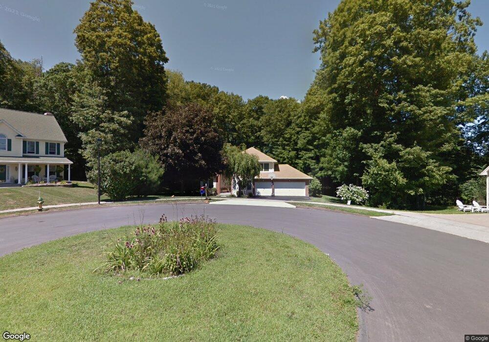
10 Farm View Cir Middletown, CT 06457
Estimated Value: $509,000 - $591,000
3
Beds
3
Baths
2,808
Sq Ft
$198/Sq Ft
Est. Value
About This Home
This home is located at 10 Farm View Cir, Middletown, CT 06457 and is currently estimated at $554,765, approximately $197 per square foot. 10 Farm View Cir is a home located in Middlesex County with nearby schools including Wesley School, Middletown High School, and St John Paul II School.
Ownership History
Date
Name
Owned For
Owner Type
Purchase Details
Closed on
Oct 7, 1994
Sold by
Trican Rlty
Bought by
Paola Francis D and Paola Barbara H
Current Estimated Value
Create a Home Valuation Report for This Property
The Home Valuation Report is an in-depth analysis detailing your home's value as well as a comparison with similar homes in the area
Home Values in the Area
Average Home Value in this Area
Purchase History
| Date | Buyer | Sale Price | Title Company |
|---|---|---|---|
| Paola Francis D | $75,000 | -- |
Source: Public Records
Mortgage History
| Date | Status | Borrower | Loan Amount |
|---|---|---|---|
| Open | Paola Francis D | $50,000 | |
| Open | Paola Francis D | $140,900 |
Source: Public Records
Tax History Compared to Growth
Tax History
| Year | Tax Paid | Tax Assessment Tax Assessment Total Assessment is a certain percentage of the fair market value that is determined by local assessors to be the total taxable value of land and additions on the property. | Land | Improvement |
|---|---|---|---|---|
| 2025 | $11,336 | $306,280 | $70,180 | $236,100 |
| 2024 | $10,846 | $306,280 | $70,180 | $236,100 |
| 2023 | $10,294 | $306,280 | $70,180 | $236,100 |
| 2022 | $9,508 | $230,460 | $51,980 | $178,480 |
| 2021 | $5,726 | $230,460 | $51,980 | $178,480 |
| 2020 | $9,450 | $230,460 | $51,980 | $178,480 |
| 2019 | $5,527 | $230,460 | $51,980 | $178,480 |
| 2018 | $9,168 | $230,460 | $51,980 | $178,480 |
| 2017 | $8,760 | $226,470 | $65,970 | $160,500 |
| 2016 | $8,584 | $226,470 | $65,970 | $160,500 |
| 2015 | $8,395 | $226,470 | $65,970 | $160,500 |
| 2014 | $8,386 | $226,470 | $65,970 | $160,500 |
Source: Public Records
Map
Nearby Homes
- Lot 3 Coleman Rd
- Lot 2 Coleman Rd
- 0 Arbutus St Unit 24065180
- 44 Trailside Crossing
- 491 Long Hill Rd
- 347 Farm Hill Rd
- 30 Orange Rd Unit 30
- 120 Scenic View Dr
- 55 Lorelei Cir
- 498 Pine St
- 10 Lorelei Cir
- 50 Garfield Ave
- 77 Lindsey Rd
- 17 Mckenna Dr
- 18 Talcott Ridge Dr
- 66 Durant Terrace
- 73 Durant St
- 58 Durant Terrace
- (Map 12, Lot 80A) Hubbard St
- 1 Russell St Unit 15
- 11 Farm View Cir
- 4 Farm View Cir
- 165 Cranberry Ln
- 201 Cranberry Ln
- 155 Cranberry Ln
- 348 Maple Shade Rd
- 7 Farm View Cir
- 322 Maple Shade Rd
- 211 Cranberry Ln
- 188 Cranberry Ln
- 174 Cranberry Ln
- 145 Cranberry Ln
- 374 Maple Shade Rd
- 198 Cranberry Ln
- 164 Cranberry Ln
- 119 Cranberry Ln
- 328 Maple Shade Rd
- 154 Cranberry Ln
- 210 Cranberry Ln
- 310 Maple Shade Rd