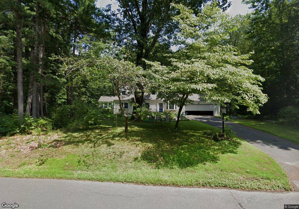
10 Farmstead Ln West Simsbury, CT 06092
Estimated Value: $559,917 - $591,000
4
Beds
3
Baths
1,962
Sq Ft
$292/Sq Ft
Est. Value
About This Home
This home is located at 10 Farmstead Ln, West Simsbury, CT 06092 and is currently estimated at $572,729, approximately $291 per square foot. 10 Farmstead Ln is a home located in Hartford County with nearby schools including Tootin' Hills School, Henry James Memorial School, and Simsbury High School.
Ownership History
Date
Name
Owned For
Owner Type
Purchase Details
Closed on
May 6, 1991
Sold by
Chicago Title Ins Co
Bought by
Butler Stuart and Butler Deborah
Current Estimated Value
Home Financials for this Owner
Home Financials are based on the most recent Mortgage that was taken out on this home.
Original Mortgage
$132,000
Interest Rate
6.88%
Mortgage Type
Unknown
Purchase Details
Closed on
Apr 17, 1991
Sold by
Ungaro Peter and Ungaro Susan
Bought by
Chicago Title Ins Co
Home Financials for this Owner
Home Financials are based on the most recent Mortgage that was taken out on this home.
Original Mortgage
$132,000
Interest Rate
6.88%
Mortgage Type
Unknown
Create a Home Valuation Report for This Property
The Home Valuation Report is an in-depth analysis detailing your home's value as well as a comparison with similar homes in the area
Home Values in the Area
Average Home Value in this Area
Purchase History
| Date | Buyer | Sale Price | Title Company |
|---|---|---|---|
| Butler Stuart | $165,000 | -- | |
| Chicago Title Ins Co | $215,250 | -- |
Source: Public Records
Mortgage History
| Date | Status | Borrower | Loan Amount |
|---|---|---|---|
| Closed | Chicago Title Ins Co | $67,000 | |
| Closed | Chicago Title Ins Co | $153,000 | |
| Closed | Chicago Title Ins Co | $132,000 |
Source: Public Records
Tax History Compared to Growth
Tax History
| Year | Tax Paid | Tax Assessment Tax Assessment Total Assessment is a certain percentage of the fair market value that is determined by local assessors to be the total taxable value of land and additions on the property. | Land | Improvement |
|---|---|---|---|---|
| 2025 | $8,778 | $256,970 | $80,780 | $176,190 |
| 2024 | $8,560 | $256,970 | $80,780 | $176,190 |
| 2023 | $8,177 | $256,970 | $80,780 | $176,190 |
| 2022 | $7,438 | $192,540 | $87,790 | $104,750 |
| 2021 | $7,438 | $192,540 | $87,790 | $104,750 |
| 2020 | $7,141 | $192,540 | $87,790 | $104,750 |
| 2019 | $7,186 | $192,540 | $87,790 | $104,750 |
| 2018 | $7,238 | $192,540 | $87,790 | $104,750 |
| 2017 | $6,888 | $177,700 | $85,550 | $92,150 |
| 2016 | $6,596 | $177,700 | $85,550 | $92,150 |
| 2015 | $6,596 | $177,700 | $85,550 | $92,150 |
| 2014 | $6,600 | $177,700 | $85,550 | $92,150 |
Source: Public Records
Map
Nearby Homes
- 29 Fawnbrook Ln
- 177 Stratton Brook Rd
- 20 Southbridge Ct
- 2 Southbridge Ct
- 23 Stratton Forest Way
- 37 Farms Village Rd
- 75 Stratton Forest Way
- 72 W Mountain Rd
- 17 Prospect Ridge
- 16 Springbrook Ln
- 113 Old Farms Rd
- 107 W Mountain Rd
- 45 Westledge Rd
- 15 Wiggins Farm Dr Unit H
- 3 Woodchuck Hill Rd
- 120 Plank Hill Rd
- 302 Bushy Hill Rd
- 3 Stebbins Brook Ln
- 4 Stebbins Brook Ln
- 3 Glen Hollow Ln