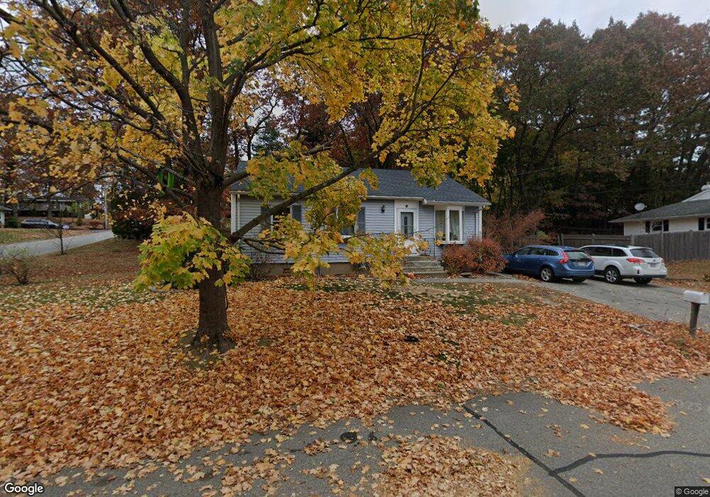
10 Fenders Ave Newburyport, MA 01950
Estimated Value: $682,000 - $830,000
3
Beds
1
Bath
999
Sq Ft
$736/Sq Ft
Est. Value
About This Home
This home is located at 10 Fenders Ave, Newburyport, MA 01950 and is currently estimated at $735,383, approximately $736 per square foot. 10 Fenders Ave is a home located in Essex County with nearby schools including Francis T. Bresnahan Elementary School, Edward G. Molin Elementary School, and Rupert A. Nock Middle School.
Ownership History
Date
Name
Owned For
Owner Type
Purchase Details
Closed on
Mar 27, 2014
Sold by
Connors Jenifer E
Bought by
Connors Jenifer E and Connors Kevin P
Current Estimated Value
Home Financials for this Owner
Home Financials are based on the most recent Mortgage that was taken out on this home.
Original Mortgage
$223,500
Interest Rate
4.27%
Mortgage Type
New Conventional
Purchase Details
Closed on
Mar 12, 2004
Sold by
Archacki James A and Archacki John S
Bought by
Sullivan Jenifer E
Home Financials for this Owner
Home Financials are based on the most recent Mortgage that was taken out on this home.
Original Mortgage
$284,900
Interest Rate
5.67%
Mortgage Type
Purchase Money Mortgage
Purchase Details
Closed on
Aug 2, 1991
Sold by
Cleale Conrad S
Bought by
Archacki John S and James A Archacki
Create a Home Valuation Report for This Property
The Home Valuation Report is an in-depth analysis detailing your home's value as well as a comparison with similar homes in the area
Home Values in the Area
Average Home Value in this Area
Purchase History
| Date | Buyer | Sale Price | Title Company |
|---|---|---|---|
| Connors Jenifer E | -- | -- | |
| Sullivan Jenifer E | $299,900 | -- | |
| Archacki John S | $132,000 | -- |
Source: Public Records
Mortgage History
| Date | Status | Borrower | Loan Amount |
|---|---|---|---|
| Open | Connors Jenifer E | $198,000 | |
| Closed | Connors Jenifer E | $25,000 | |
| Closed | Connors Jenifer E | $223,500 | |
| Previous Owner | Cleale Conrad S | $81,000 | |
| Previous Owner | Cleale Conrad S | $284,900 | |
| Previous Owner | Cleale Conrad S | $145,000 |
Source: Public Records
Tax History Compared to Growth
Tax History
| Year | Tax Paid | Tax Assessment Tax Assessment Total Assessment is a certain percentage of the fair market value that is determined by local assessors to be the total taxable value of land and additions on the property. | Land | Improvement |
|---|---|---|---|---|
| 2025 | $5,922 | $618,200 | $399,000 | $219,200 |
| 2024 | $5,720 | $573,700 | $362,700 | $211,000 |
| 2023 | $5,300 | $493,500 | $315,400 | $178,100 |
| 2022 | $4,925 | $410,100 | $262,800 | $147,300 |
| 2021 | $4,684 | $370,600 | $238,900 | $131,700 |
| 2020 | $4,652 | $362,300 | $238,900 | $123,400 |
| 2019 | $4,549 | $347,800 | $238,900 | $108,900 |
| 2018 | $4,435 | $334,500 | $227,600 | $106,900 |
| 2017 | $4,354 | $323,700 | $216,800 | $106,900 |
| 2016 | $4,152 | $310,100 | $206,400 | $103,700 |
| 2015 | $4,033 | $302,300 | $206,400 | $95,900 |
Source: Public Records
Map
Nearby Homes
- 8 Brown Ave
- 61 Spofford St
- 8 Hart Rd
- 572 Merrimac St
- 510 Merrimac St Unit 512
- 232 Low St Unit 7
- 6 Storey Ave
- 492 Merrimac St
- 486 Main St
- 17 Alberta Ave
- 42 Myrtle Ave
- 60 Merrimac St Unit 907
- 60 Merrimac St Unit 604
- 35 Merrimac St
- 382 Main St
- 394 Main St
- 3 Laurel Place
- 356 Main St
- 19 Jefferson St
- 21 Clarks Rd Unit 203
- 8 Fenders Ave
- 9 Fenders Ave
- 6 Laurel Rd
- 4 Laurel Rd
- 111 Ferry Rd Unit B
- 111 Ferry Rd Unit A
- 7 Fenders Ave
- 109 Ferry Rd
- 8 Laurel Rd
- 3 Azalea Rd
- 10 Brown Ave
- 5 Fenders Ave
- 1 Azalea Rd
- 113 Ferry Rd
- 10 Laurel Rd
- LOT 35 Cherry Hill
- LOT 60 Cherry Hill
- LOT 59 Cherry Hill
- LOT 37 Port Village
- LOT 65 Bayberry Rd