10 Finlay Rd Sturbridge, MA 01518
Estimated Value: $529,000 - $614,000
3
Beds
3
Baths
3,072
Sq Ft
$191/Sq Ft
Est. Value
About This Home
This home is located at 10 Finlay Rd, Sturbridge, MA 01518 and is currently estimated at $586,404, approximately $190 per square foot. 10 Finlay Rd is a home located in Worcester County with nearby schools including Burgess Elementary School, Tantasqua Regional Junior High School, and Tantasqua Regional High School.
Ownership History
Date
Name
Owned For
Owner Type
Purchase Details
Closed on
May 9, 2013
Sold by
Poirier Roger E and Poirier Jane M
Bought by
Poirier Jane M
Current Estimated Value
Purchase Details
Closed on
Jun 15, 1973
Bought by
Poirier Jane M
Create a Home Valuation Report for This Property
The Home Valuation Report is an in-depth analysis detailing your home's value as well as a comparison with similar homes in the area
Home Values in the Area
Average Home Value in this Area
Purchase History
| Date | Buyer | Sale Price | Title Company |
|---|---|---|---|
| Poirier Jane M | -- | -- | |
| Poirier Jane M | -- | -- |
Source: Public Records
Mortgage History
| Date | Status | Borrower | Loan Amount |
|---|---|---|---|
| Previous Owner | Poirier Jane M | $50,000 | |
| Previous Owner | Poirier Jane M | $100,000 | |
| Previous Owner | Poirier Jane M | $70,000 |
Source: Public Records
Tax History Compared to Growth
Tax History
| Year | Tax Paid | Tax Assessment Tax Assessment Total Assessment is a certain percentage of the fair market value that is determined by local assessors to be the total taxable value of land and additions on the property. | Land | Improvement |
|---|---|---|---|---|
| 2025 | $7,183 | $450,900 | $84,500 | $366,400 |
| 2024 | $7,036 | $426,700 | $82,800 | $343,900 |
| 2023 | $6,861 | $379,700 | $71,900 | $307,800 |
| 2022 | $6,597 | $344,500 | $64,900 | $279,600 |
| 2021 | $5,826 | $306,300 | $61,900 | $244,400 |
| 2020 | $5,826 | $306,300 | $61,900 | $244,400 |
| 2019 | $5,552 | $289,900 | $63,600 | $226,300 |
| 2018 | $5,490 | $282,400 | $60,500 | $221,900 |
| 2017 | $5,255 | $270,900 | $58,400 | $212,500 |
| 2016 | $5,033 | $262,000 | $56,600 | $205,400 |
| 2015 | $4,997 | $259,700 | $56,600 | $203,100 |
Source: Public Records
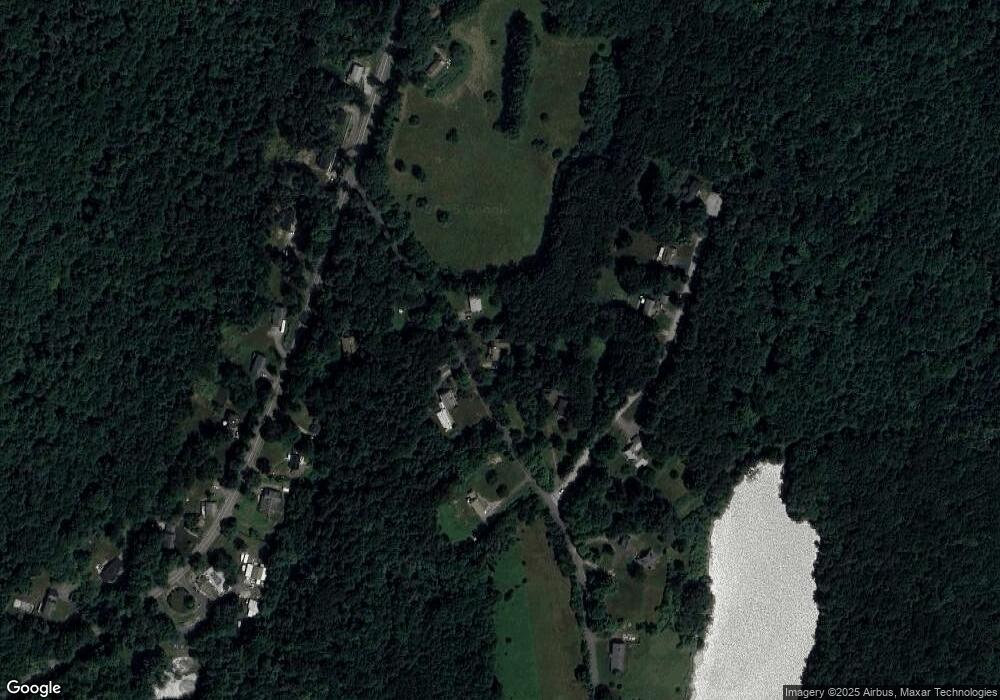
Map
Nearby Homes
- 249 Holland Rd
- 266 Holland Rd
- 344 Leadmine Rd
- 16 Summit Ave
- 76 Stallion Hill Rd
- 621 Main St
- 40 Bentwood Dr
- 38 Bentwood Dr
- 6 Kimball Hill Rd
- 606 Skyline Dr Unit 606
- 30 Mashapaug Rd
- Lot B-6 River Rd
- 129 Pine Ave
- 161 Willow Ave
- 43 Park Ave
- 0 Five Bridge Rd
- 320 Poplar Ave
- 322 Poplar Ave
- 74 River Rd
- 7 Crescent Way Unit 315
- 8 Finlay Rd
- 12 Finlay Rd
- 7 Finlay Rd
- 5 Stearns Dr
- 13 Finlay Rd
- 2 Stearns Dr
- 255 Holland Rd
- 7 Stearns Dr
- 248 Holland Rd
- 257 Holland Rd
- 257 Holland Rd Unit Bldg 257
- 11 Finlay Rd
- 9 Stearns Dr
- 9 Stearns Dr
- 246 Holland Rd
- 250 Holland Rd
- 259 Holland Rd
- 259 Holland Rd Unit A
- 259 Holland Rd Unit 1
- 259 Holland Rd Unit 2