10 Finnigan Way Kennebunk, ME 04043
Estimated Value: $735,789 - $1,018,000
3
Beds
3
Baths
2,016
Sq Ft
$410/Sq Ft
Est. Value
About This Home
This home is located at 10 Finnigan Way, Kennebunk, ME 04043 and is currently estimated at $826,447, approximately $409 per square foot. 10 Finnigan Way is a home located in York County with nearby schools including Kennebunk High School and The New School.
Ownership History
Date
Name
Owned For
Owner Type
Purchase Details
Closed on
Aug 11, 2014
Sold by
Zito Sara L and Zito John C
Bought by
Marquis Stephen D and Marquis Erika B
Current Estimated Value
Home Financials for this Owner
Home Financials are based on the most recent Mortgage that was taken out on this home.
Original Mortgage
$245,000
Outstanding Balance
$75,803
Interest Rate
3.23%
Mortgage Type
New Conventional
Estimated Equity
$750,644
Purchase Details
Closed on
Apr 28, 2006
Sold by
Hissong Kurt D
Bought by
Zito John C and Zito Sara L
Home Financials for this Owner
Home Financials are based on the most recent Mortgage that was taken out on this home.
Original Mortgage
$0
Interest Rate
6.58%
Mortgage Type
Purchase Money Mortgage
Create a Home Valuation Report for This Property
The Home Valuation Report is an in-depth analysis detailing your home's value as well as a comparison with similar homes in the area
Home Values in the Area
Average Home Value in this Area
Purchase History
| Date | Buyer | Sale Price | Title Company |
|---|---|---|---|
| Marquis Stephen D | -- | -- | |
| Zito John C | -- | -- |
Source: Public Records
Mortgage History
| Date | Status | Borrower | Loan Amount |
|---|---|---|---|
| Open | Marquis Stephen D | $245,000 | |
| Previous Owner | Zito John C | $0 |
Source: Public Records
Tax History Compared to Growth
Tax History
| Year | Tax Paid | Tax Assessment Tax Assessment Total Assessment is a certain percentage of the fair market value that is determined by local assessors to be the total taxable value of land and additions on the property. | Land | Improvement |
|---|---|---|---|---|
| 2024 | $7,051 | $416,000 | $0 | $0 |
| 2023 | $6,677 | $416,000 | $136,200 | $279,800 |
| 2022 | $5,796 | $397,000 | $117,200 | $279,800 |
| 2021 | $5,301 | $397,000 | $117,200 | $279,800 |
| 2020 | $28,473 | $397,000 | $117,200 | $279,800 |
| 2019 | $8,926 | $397,000 | $117,200 | $279,800 |
| 2018 | $5,103 | $291,600 | $87,900 | $203,700 |
| 2017 | $4,826 | $291,600 | $87,900 | $203,700 |
| 2016 | $4,636 | $291,600 | $87,900 | $203,700 |
| 2015 | $4,316 | $291,600 | $87,900 | $203,700 |
| 2014 | $4,345 | $291,600 | $87,900 | $203,700 |
Source: Public Records
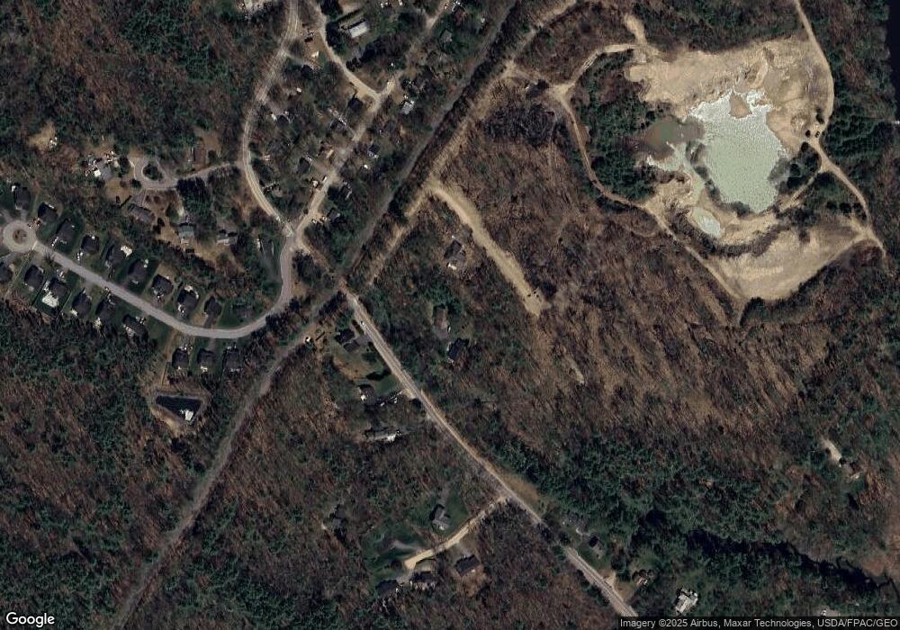
Map
Nearby Homes
- 16 Boundary Way
- 161 Brown St
- 27 Webhannet Place Unit 16
- 47 Brown St
- 5 Cider Mill Ln
- 4 Cider Mill Ln
- 3 Cider Mill Ln
- 11 Heritage Ln
- 17 Legacy Ln
- 30 York St Unit 1
- 18 Greenwich Way Unit 38
- 22 York St
- 17 Water St Unit 9
- 45 Summer St Unit 1
- 54 Sycamore Ln Unit 19
- 00 Summer St
- 2 Chestnut Ln Unit 2
- 40 Shorebreezes Ln Unit 40
- 61 Fletcher St
- 5 Heath Rd
- 5 Finnigan Way
- 141 Brown St
- 143 Brown St
- 145 Brown St
- 3 Clarkdale Rd
- 1 Clarkdale Rd
- 95 Brown St
- 5 Clarkdale Rd
- 7 Clarkdale Rd
- Lot 23 Brooks Landing
- 129 Brown St
- 130 Brown St
- Lot 1 Brooks Landing
- 9 Clarkdale Rd
- 2 Conservation Dr
- 142 Brown St
- 3 Carsons Point Dr
- 6 Clarkdale Rd
- 4 Clarkdale Rd
- 128 Brown St