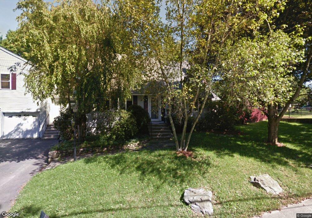
10 Fiske Ln Natick, MA 01760
Estimated Value: $1,007,127 - $1,165,000
3
Beds
4
Baths
2,380
Sq Ft
$465/Sq Ft
Est. Value
About This Home
This home is located at 10 Fiske Ln, Natick, MA 01760 and is currently estimated at $1,106,532, approximately $464 per square foot. 10 Fiske Ln is a home located in Middlesex County with nearby schools including Natick High School, J F Kennedy Middle School, and Johnson Elementary School.
Ownership History
Date
Name
Owned For
Owner Type
Purchase Details
Closed on
Aug 27, 2010
Sold by
Stone Jonathan I and Stone Beverly A
Bought by
Carty Stephen F and Carty Mary E
Current Estimated Value
Home Financials for this Owner
Home Financials are based on the most recent Mortgage that was taken out on this home.
Original Mortgage
$225,000
Outstanding Balance
$149,552
Interest Rate
4.57%
Mortgage Type
Purchase Money Mortgage
Estimated Equity
$956,980
Create a Home Valuation Report for This Property
The Home Valuation Report is an in-depth analysis detailing your home's value as well as a comparison with similar homes in the area
Home Values in the Area
Average Home Value in this Area
Purchase History
| Date | Buyer | Sale Price | Title Company |
|---|---|---|---|
| Carty Stephen F | $510,000 | -- |
Source: Public Records
Mortgage History
| Date | Status | Borrower | Loan Amount |
|---|---|---|---|
| Open | Carty Stephen F | $225,000 |
Source: Public Records
Tax History Compared to Growth
Tax History
| Year | Tax Paid | Tax Assessment Tax Assessment Total Assessment is a certain percentage of the fair market value that is determined by local assessors to be the total taxable value of land and additions on the property. | Land | Improvement |
|---|---|---|---|---|
| 2025 | $9,795 | $819,000 | $425,900 | $393,100 |
| 2024 | $9,432 | $769,300 | $400,900 | $368,400 |
| 2023 | $9,225 | $729,800 | $385,700 | $344,100 |
| 2022 | $8,647 | $648,200 | $350,600 | $297,600 |
| 2021 | $4,468 | $608,800 | $330,600 | $278,200 |
| 2020 | $14,457 | $593,700 | $315,500 | $278,200 |
| 2019 | $14,021 | $593,700 | $315,500 | $278,200 |
| 2018 | $7,508 | $575,300 | $300,500 | $274,800 |
| 2017 | $3,808 | $525,300 | $255,600 | $269,700 |
| 2016 | $6,811 | $501,900 | $234,600 | $267,300 |
| 2015 | $6,628 | $479,600 | $234,600 | $245,000 |
Source: Public Records
Map
Nearby Homes
- 91 Speen St
- 1 Fern St
- 4 Sylvia Ave
- 40 Silver Hill Ln Unit 4
- 46 Silver Hill Ln Unit 1
- 9 Silver Hill Ln Unit 19
- 32 Silver Hill Ln Unit 1
- 2 Lodge Rd
- 16 West St
- 26 Walden Dr Unit 4
- 12 Walden Dr Unit 19
- 10 Kelsey Rd
- 25 Forest Ave
- 38 Ranger Rd
- 57 Village Brook Ln Unit 5
- 50 Village Brook Ln Unit 4
- 47 High St
- 216-218 S Main St
- 51 Village Brook Ln Unit 16
- 58 W Central St