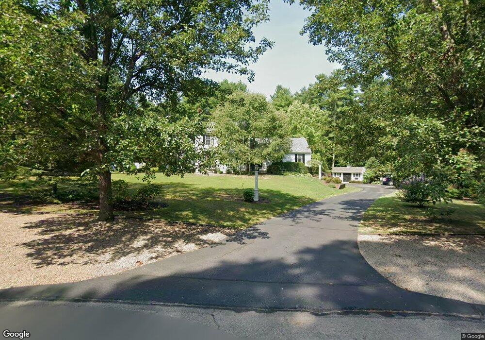
10 Forest Ln Norton, MA 02766
Estimated Value: $897,801 - $1,278,000
4
Beds
4
Baths
3,306
Sq Ft
$319/Sq Ft
Est. Value
About This Home
This home is located at 10 Forest Ln, Norton, MA 02766 and is currently estimated at $1,053,200, approximately $318 per square foot. 10 Forest Ln is a home located in Bristol County with nearby schools including J.C. Solmonese Elementary School, Henri A. Yelle Elementary School, and Norton Middle School.
Ownership History
Date
Name
Owned For
Owner Type
Purchase Details
Closed on
Jun 26, 1998
Sold by
Steckiel Richard E and Steckiel Lisa M
Bought by
Schneider John P and Schneider Elizabeth A
Current Estimated Value
Home Financials for this Owner
Home Financials are based on the most recent Mortgage that was taken out on this home.
Original Mortgage
$240,000
Interest Rate
7.09%
Mortgage Type
Purchase Money Mortgage
Purchase Details
Closed on
Feb 21, 1996
Sold by
Rubin-Ohearn Ellen J
Bought by
Steckiel Richard E and Steckiel Lisa M
Home Financials for this Owner
Home Financials are based on the most recent Mortgage that was taken out on this home.
Original Mortgage
$245,700
Interest Rate
7.04%
Mortgage Type
Purchase Money Mortgage
Purchase Details
Closed on
Oct 14, 1994
Sold by
Sher Corp Ltd
Bought by
Rubin Ohear Ellen J
Create a Home Valuation Report for This Property
The Home Valuation Report is an in-depth analysis detailing your home's value as well as a comparison with similar homes in the area
Home Values in the Area
Average Home Value in this Area
Purchase History
| Date | Buyer | Sale Price | Title Company |
|---|---|---|---|
| Schneider John P | $320,000 | -- | |
| Steckiel Richard E | $273,000 | -- | |
| Rubin Ohear Ellen J | $302,000 | -- |
Source: Public Records
Mortgage History
| Date | Status | Borrower | Loan Amount |
|---|---|---|---|
| Open | Rubin Ohear Ellen J | $300,700 | |
| Closed | Rubin Ohear Ellen J | $60,000 | |
| Closed | Rubin Ohear Ellen J | $240,000 | |
| Previous Owner | Rubin Ohear Ellen J | $245,700 |
Source: Public Records
Tax History Compared to Growth
Tax History
| Year | Tax Paid | Tax Assessment Tax Assessment Total Assessment is a certain percentage of the fair market value that is determined by local assessors to be the total taxable value of land and additions on the property. | Land | Improvement |
|---|---|---|---|---|
| 2025 | $107 | $828,400 | $188,000 | $640,400 |
| 2024 | $10,534 | $813,400 | $196,900 | $616,500 |
| 2023 | $9,980 | $768,300 | $185,700 | $582,600 |
| 2022 | $9,606 | $673,600 | $168,800 | $504,800 |
| 2021 | $9,437 | $632,100 | $160,800 | $471,300 |
| 2020 | $9,093 | $614,400 | $156,100 | $458,300 |
| 2019 | $9,019 | $605,300 | $163,800 | $441,500 |
| 2018 | $8,940 | $589,700 | $163,800 | $425,900 |
| 2017 | $8,596 | $559,300 | $163,800 | $395,500 |
| 2016 | $8,272 | $529,900 | $163,800 | $366,100 |
| 2015 | $8,038 | $522,300 | $160,600 | $361,700 |
| 2014 | $7,533 | $490,100 | $140,200 | $349,900 |
Source: Public Records
Map
Nearby Homes
- 196 Taunton Ave Unit B
- 198 Taunton Ave Unit B
- 165 Taunton Ave
- 152 Pine St Unit 23
- 13 Lloyd Cir Unit 34
- 3 Jeffrey Ln
- Lot 3B Hill St
- 90 Pine St
- 81 Alcott Cir Unit T5
- 925 Crane Ave S Unit G3
- 135 S Washington St
- 260 S Washington St
- 20 Lloyd Cir Unit 32
- 14 Lloyd Cir Unit 29
- 132 S Washington St Unit 132
- 34 Barrows St
- 17 Lloyd Cir Unit 36
- 24 Lloyd Cir Unit 34
- 34R Pine St
- 3 Gilberts Way