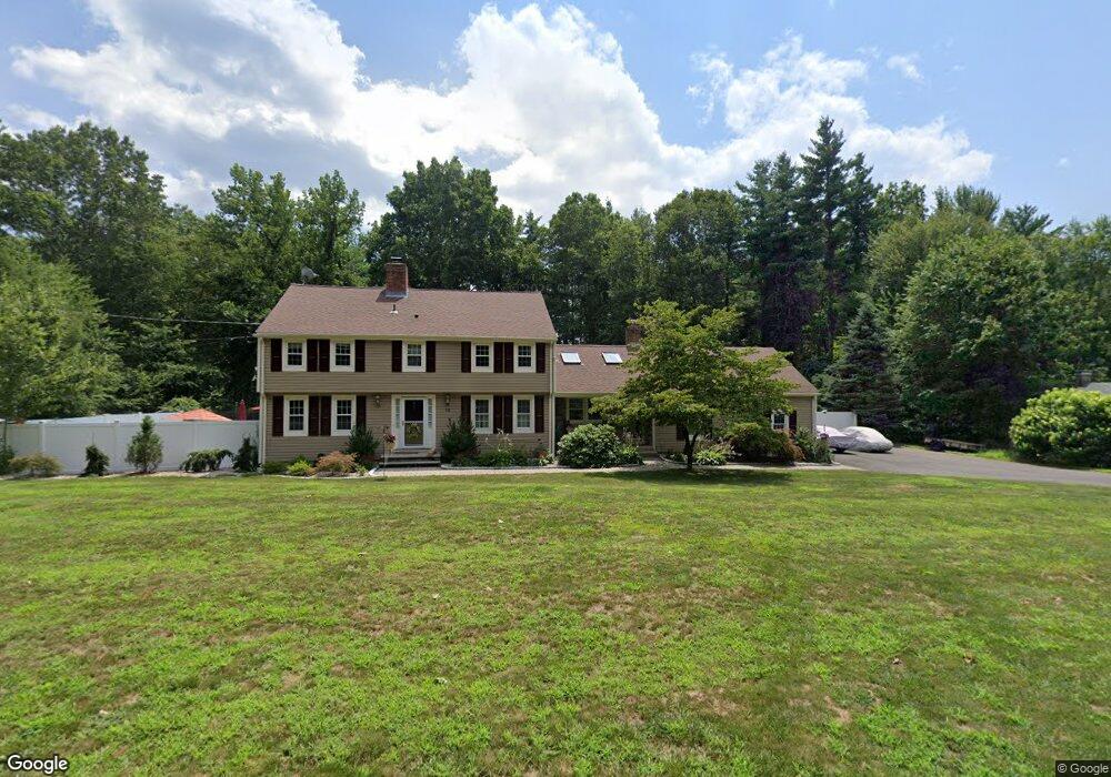
10 Fox Den Rd West Simsbury, CT 06092
Estimated Value: $614,000 - $661,000
4
Beds
3
Baths
2,338
Sq Ft
$273/Sq Ft
Est. Value
About This Home
This home is located at 10 Fox Den Rd, West Simsbury, CT 06092 and is currently estimated at $639,223, approximately $273 per square foot. 10 Fox Den Rd is a home located in Hartford County with nearby schools including Central School, Henry James Memorial School, and Simsbury High School.
Ownership History
Date
Name
Owned For
Owner Type
Purchase Details
Closed on
Jul 10, 1998
Sold by
Haaser Walter B and Haaser Margaret G
Bought by
Bronsord Kenneth A and Bronsord Pamela S
Current Estimated Value
Home Financials for this Owner
Home Financials are based on the most recent Mortgage that was taken out on this home.
Original Mortgage
$107,710
Interest Rate
5.73%
Create a Home Valuation Report for This Property
The Home Valuation Report is an in-depth analysis detailing your home's value as well as a comparison with similar homes in the area
Home Values in the Area
Average Home Value in this Area
Purchase History
| Date | Buyer | Sale Price | Title Company |
|---|---|---|---|
| Bronsord Kenneth A | $285,000 | -- |
Source: Public Records
Mortgage History
| Date | Status | Borrower | Loan Amount |
|---|---|---|---|
| Open | Bronsord Kenneth A | $245,670 | |
| Closed | Bronsord Kenneth A | $58,138 | |
| Closed | Bronsord Kenneth A | $136,000 |
Source: Public Records
Tax History Compared to Growth
Tax History
| Year | Tax Paid | Tax Assessment Tax Assessment Total Assessment is a certain percentage of the fair market value that is determined by local assessors to be the total taxable value of land and additions on the property. | Land | Improvement |
|---|---|---|---|---|
| 2025 | $11,155 | $326,550 | $101,640 | $224,910 |
| 2024 | $10,877 | $326,550 | $101,640 | $224,910 |
| 2023 | $10,391 | $326,550 | $101,640 | $224,910 |
| 2022 | $10,236 | $264,980 | $108,890 | $156,090 |
| 2021 | $10,236 | $264,980 | $108,890 | $156,090 |
| 2020 | $9,828 | $264,980 | $108,890 | $156,090 |
| 2019 | $9,889 | $264,980 | $108,890 | $156,090 |
| 2018 | $9,961 | $264,980 | $108,890 | $156,090 |
| 2017 | $9,034 | $233,070 | $97,140 | $135,930 |
| 2016 | $8,652 | $233,070 | $97,140 | $135,930 |
| 2015 | $8,652 | $233,070 | $97,140 | $135,930 |
| 2014 | $8,656 | $233,070 | $97,140 | $135,930 |
Source: Public Records
Map
Nearby Homes
- 177 Stratton Brook Rd
- 29 Fawnbrook Ln
- 37 Farms Village Rd
- 23 Stratton Forest Way
- 20 Southbridge Ct
- 2 Southbridge Ct
- 75 Stratton Forest Way
- 113 Old Farms Rd
- 17 Prospect Ridge
- 106 Hedgehog Ln
- 16 Springbrook Ln
- 120 Plank Hill Rd
- 15 Wiggins Farm Dr Unit H
- 72 W Mountain Rd
- 45 Westledge Rd
- 35 Beldenwood Rd
- 6 Heritage Ln
- 3 Stebbins Brook Ln
- 4 Stebbins Brook Ln
- 1 West St Unit 322