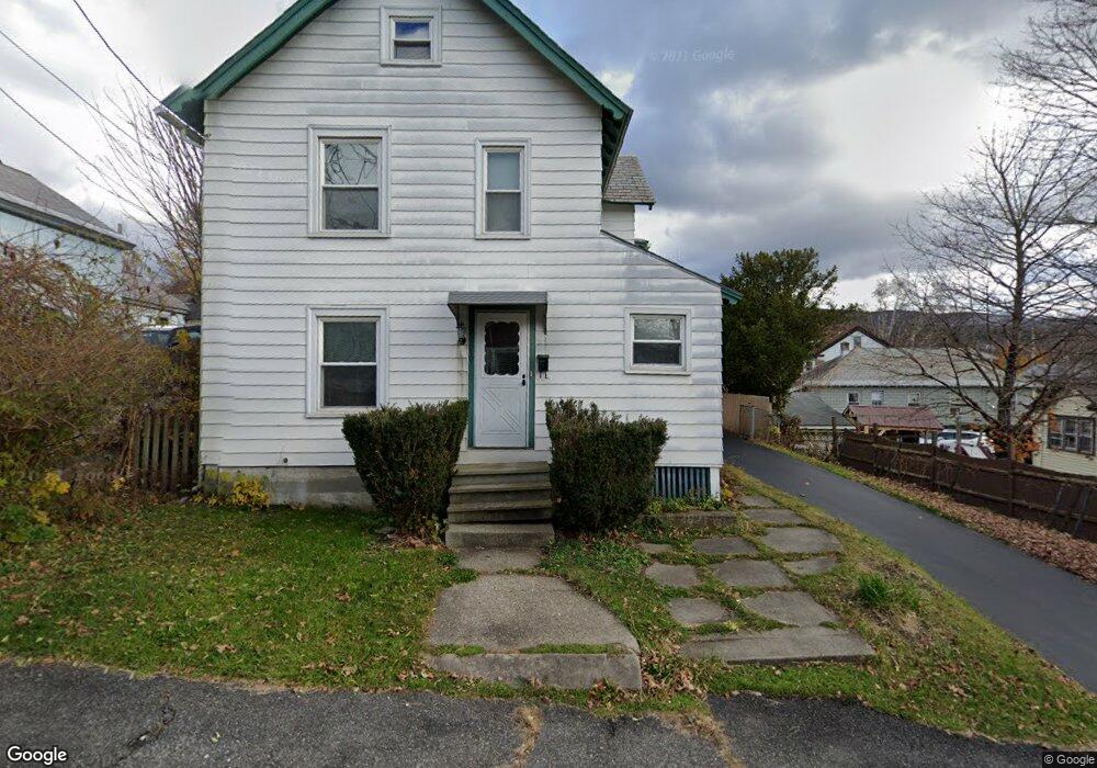
10 Freeman Ave Unit 12 North Adams, MA 01247
Estimated Value: $187,000 - $234,336
4
Beds
2
Baths
1,877
Sq Ft
$113/Sq Ft
Est. Value
About This Home
This home is located at 10 Freeman Ave Unit 12, North Adams, MA 01247 and is currently estimated at $212,834, approximately $113 per square foot. 10 Freeman Ave Unit 12 is a home located in Berkshire County with nearby schools including Colegrove Park Elementary School and Drury High School.
Ownership History
Date
Name
Owned For
Owner Type
Purchase Details
Closed on
Jul 29, 1998
Sold by
Stanley Elizabeth and Belisle Laurene M
Bought by
Vanderburgh Lyman R and Vanderburgh Clarise R
Current Estimated Value
Home Financials for this Owner
Home Financials are based on the most recent Mortgage that was taken out on this home.
Original Mortgage
$49,974
Outstanding Balance
$10,426
Interest Rate
6.92%
Mortgage Type
Purchase Money Mortgage
Estimated Equity
$202,408
Create a Home Valuation Report for This Property
The Home Valuation Report is an in-depth analysis detailing your home's value as well as a comparison with similar homes in the area
Home Values in the Area
Average Home Value in this Area
Purchase History
| Date | Buyer | Sale Price | Title Company |
|---|---|---|---|
| Vanderburgh Lyman R | $50,000 | -- | |
| Vanderburgh Lyman R | $50,000 | -- |
Source: Public Records
Mortgage History
| Date | Status | Borrower | Loan Amount |
|---|---|---|---|
| Open | Vanderburgh Lyman R | $49,974 | |
| Closed | Vanderburgh Lyman R | $49,974 |
Source: Public Records
Tax History Compared to Growth
Tax History
| Year | Tax Paid | Tax Assessment Tax Assessment Total Assessment is a certain percentage of the fair market value that is determined by local assessors to be the total taxable value of land and additions on the property. | Land | Improvement |
|---|---|---|---|---|
| 2025 | $2,532 | $151,500 | $23,000 | $128,500 |
| 2024 | $2,379 | $138,800 | $21,100 | $117,700 |
| 2023 | $2,200 | $124,500 | $21,100 | $103,400 |
| 2022 | $1,986 | $107,200 | $21,100 | $86,100 |
| 2021 | $1,846 | $99,200 | $19,500 | $79,700 |
| 2020 | $2,002 | $107,500 | $20,700 | $86,800 |
| 2019 | $1,980 | $103,600 | $20,700 | $82,900 |
| 2018 | $1,895 | $103,100 | $21,700 | $81,400 |
| 2017 | $1,804 | $102,100 | $21,500 | $80,600 |
| 2016 | $1,748 | $100,500 | $21,500 | $79,000 |
| 2015 | $1,689 | $101,200 | $22,200 | $79,000 |
Source: Public Records
Map
Nearby Homes
- 159 Eagle St
- 33-35 Hall St
- 66-68 Bracewell Ave
- 35 Jackson St
- 33 Hudson St
- 20 Wesleyan St
- 38 Wesleyan St
- 24 Franklin St
- 22 Marietta St
- 62-64 Chase Ave
- 19 N Church St Unit 11
- 19 N Church St Unit 14
- 19 N Church St Unit 12
- 19 N Church St Unit 7
- 54 Marietta St
- 166 Houghton St
- 0 Church St
- 129-133 Franklin St
- 194 E Main St
- 0 River St
- 16 Freeman Ave
- 31 River St
- 38 Bracewell Ave
- 9 Freeman Ave
- 13 Freeman Ave Unit 15
- 50 Bracewell Ave
- 50 Bracewell Ave Unit 2
- 32 Bracewell Ave
- 13 River St Unit 15
- 56 Bracewell Ave Unit 58
- 49-51 River St
- 40 River St
- 49 River St Unit 51
- 45 Bracewell Ave
- 30 River St
- 39 Bracewell Ave
- 29 Bracewell Ave Unit 31
- 62 Bracewell Ave Unit 64
- 9 River St Unit 11
- 35 Bracewell Ave Unit 37