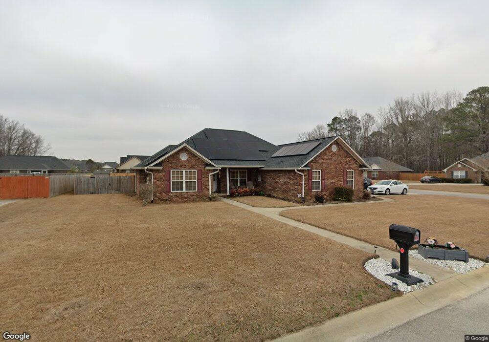
10 Gandalf Cir Sumter, SC 29153
Estimated Value: $262,000 - $300,000
4
Beds
2
Baths
1,866
Sq Ft
$151/Sq Ft
Est. Value
About This Home
This home is located at 10 Gandalf Cir, Sumter, SC 29153 and is currently estimated at $281,495, approximately $150 per square foot. 10 Gandalf Cir is a home located in Sumter County with nearby schools including Oakland Primary School, High Hills Elementary School, and Shaw Heights Elementary School.
Ownership History
Date
Name
Owned For
Owner Type
Purchase Details
Closed on
Mar 24, 2010
Sold by
Dunlap Tyler B
Bought by
Pettiford Perry O and Pettiford Patricia A
Current Estimated Value
Purchase Details
Closed on
Sep 30, 2008
Sold by
Pack Construction Llc
Bought by
Pettiford Perry O and Pettiford Patricia A
Home Financials for this Owner
Home Financials are based on the most recent Mortgage that was taken out on this home.
Original Mortgage
$154,800
Interest Rate
6.45%
Mortgage Type
Purchase Money Mortgage
Purchase Details
Closed on
Jul 24, 2007
Sold by
Gainey Construction Co Llc
Bought by
Pack Construction Llc
Home Financials for this Owner
Home Financials are based on the most recent Mortgage that was taken out on this home.
Original Mortgage
$144,400
Interest Rate
6.63%
Mortgage Type
Construction
Create a Home Valuation Report for This Property
The Home Valuation Report is an in-depth analysis detailing your home's value as well as a comparison with similar homes in the area
Home Values in the Area
Average Home Value in this Area
Purchase History
| Date | Buyer | Sale Price | Title Company |
|---|---|---|---|
| Pettiford Perry O | -- | -- | |
| Pettiford Perry O | $172,000 | -- | |
| Pack Construction Llc | $28,000 | None Available |
Source: Public Records
Mortgage History
| Date | Status | Borrower | Loan Amount |
|---|---|---|---|
| Previous Owner | Pettiford Perry O | $154,800 | |
| Previous Owner | Pack Construction Llc | $144,400 |
Source: Public Records
Tax History Compared to Growth
Tax History
| Year | Tax Paid | Tax Assessment Tax Assessment Total Assessment is a certain percentage of the fair market value that is determined by local assessors to be the total taxable value of land and additions on the property. | Land | Improvement |
|---|---|---|---|---|
| 2024 | $74 | $0 | $0 | $0 |
| 2023 | $74 | $7,910 | $1,120 | $6,790 |
| 2022 | $72 | $7,910 | $1,120 | $6,790 |
| 2021 | $1,212 | $7,910 | $1,120 | $6,790 |
| 2020 | $1,212 | $7,260 | $1,120 | $6,140 |
| 2019 | $1,182 | $7,260 | $1,120 | $6,140 |
| 2018 | $1,108 | $7,260 | $1,120 | $6,140 |
| 2017 | $1,092 | $7,260 | $1,120 | $6,140 |
| 2016 | $1,164 | $7,260 | $1,120 | $6,140 |
| 2015 | $1,164 | $7,210 | $1,120 | $6,090 |
| 2014 | $1,164 | $7,210 | $1,120 | $6,090 |
| 2013 | -- | $7,210 | $1,120 | $6,090 |
Source: Public Records
Map
Nearby Homes
- 2375 Worshipper Ct
- 2485 Lowell Ln
- 2485 Lowell Ln Unit Lot 61
- Bailey II Plan at Jackson Preserve
- 2490 Lowell Ln
- Buck Island II Plan at Jackson Preserve
- Benton II Plan at Jackson Preserve
- Harper II Plan at Jackson Preserve
- Wisteria II Plan at Jackson Preserve
- Julie II Plan at Jackson Preserve
- Porter II Plan at Jackson Preserve
- Bentcreek II Plan at Jackson Preserve
- Bradley II Plan at Jackson Preserve
- Multiple Lots Offspring Ct
- 2650 Egypt St
- 2640 Egypt St
- 2001 Beckwood Rd
- 2171 Currituck Dr
- 2171 Currituck Dr Unit Lot 234
- 2141 Currituck Dr Unit Lot 229