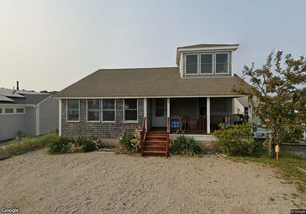
10 Garfield St Provincetown, MA 02657
Estimated Value: $1,484,000 - $2,170,000
3
Beds
1
Bath
1,001
Sq Ft
$1,759/Sq Ft
Est. Value
About This Home
This home is located at 10 Garfield St, Provincetown, MA 02657 and is currently estimated at $1,760,344, approximately $1,758 per square foot. 10 Garfield St is a home located in Barnstable County with nearby schools including Provincetown Schools.
Ownership History
Date
Name
Owned For
Owner Type
Purchase Details
Closed on
May 19, 2017
Sold by
Spiniello Gerard and Sommer Dianne
Bought by
Gsds Cape Nt
Current Estimated Value
Purchase Details
Closed on
Oct 7, 2004
Sold by
Scoppa Margaret A and Mccarthy Mary A
Bought by
Sommer Dianne and Spiniello Gerard
Purchase Details
Closed on
Nov 18, 2002
Sold by
Glassman Laurie and Bettano Carla
Bought by
Mccarthy Mary A and Scoppa Margaret A
Purchase Details
Closed on
May 29, 2001
Sold by
Taylor Douglas G and Taylor Deborah J
Bought by
Glassman Laurie and Bettano Carla
Home Financials for this Owner
Home Financials are based on the most recent Mortgage that was taken out on this home.
Original Mortgage
$140,000
Interest Rate
7.05%
Mortgage Type
Purchase Money Mortgage
Purchase Details
Closed on
Dec 1, 1998
Sold by
Wilson Helen B
Bought by
Taylor Douglas G and Taylor Deborah J
Purchase Details
Closed on
Aug 28, 1998
Sold by
Muszynski Peter and Muszynski Lyn
Bought by
Hb Rj and Hb Wilson T
Purchase Details
Closed on
Jul 10, 1998
Sold by
Hb Rj and Hb Wilson T
Bought by
Muszynski Peter and Muszynski Lyn
Create a Home Valuation Report for This Property
The Home Valuation Report is an in-depth analysis detailing your home's value as well as a comparison with similar homes in the area
Home Values in the Area
Average Home Value in this Area
Purchase History
| Date | Buyer | Sale Price | Title Company |
|---|---|---|---|
| Gsds Cape Nt | -- | -- | |
| Gsds Cape Nt | -- | -- | |
| Sommer Dianne | $629,000 | -- | |
| Sommer Dianne | $629,000 | -- | |
| Mccarthy Mary A | $367,000 | -- | |
| Mccarthy Mary A | $367,000 | -- | |
| Glassman Laurie | $272,500 | -- | |
| Glassman Laurie | $272,500 | -- | |
| Taylor Douglas G | $155,000 | -- | |
| Taylor Douglas G | $155,000 | -- | |
| Hb Rj | $135,000 | -- | |
| Rj | $135,000 | -- | |
| Muszynski Peter | $135,000 | -- | |
| Muszynski Peter | $135,000 | -- |
Source: Public Records
Mortgage History
| Date | Status | Borrower | Loan Amount |
|---|---|---|---|
| Previous Owner | Muszynski Peter | $140,000 |
Source: Public Records
Tax History Compared to Growth
Tax History
| Year | Tax Paid | Tax Assessment Tax Assessment Total Assessment is a certain percentage of the fair market value that is determined by local assessors to be the total taxable value of land and additions on the property. | Land | Improvement |
|---|---|---|---|---|
| 2025 | $7,954 | $1,420,400 | $568,800 | $851,600 |
| 2024 | $7,428 | $1,331,100 | $542,000 | $789,100 |
| 2023 | $6,552 | $1,095,600 | $471,400 | $624,200 |
| 2022 | $6,295 | $945,200 | $403,900 | $541,300 |
| 2021 | $6,172 | $871,700 | $367,100 | $504,600 |
| 2020 | $5,628 | $850,100 | $370,900 | $479,200 |
| 2019 | $5,733 | $812,100 | $360,100 | $452,000 |
| 2018 | $5,482 | $735,900 | $348,500 | $387,400 |
| 2017 | $5,276 | $684,300 | $341,700 | $342,600 |
| 2016 | $5,021 | $643,700 | $331,700 | $312,000 |
| 2015 | $4,855 | $657,800 | $325,100 | $332,700 |
Source: Public Records
Map
Nearby Homes
- 897 Commercial St
- 21 Dewey Ave Unit 4
- 21 Dewey Ave Unit 3
- 953 Commercial St Unit 5
- 963 Commercial St Unit 51
- 963 Commercial St Unit 63
- 963 Commercial St Unit 37
- 777 Commercial St
- 658 Shore Rd Unit 8
- 690 Commercial St Unit U5D
- 596 Shore Rd Unit G
- 350 Bradford St Unit 7
- 4 Bradford Acres Rd Unit F
- 4 Bradford Acres Rd Unit F
- 12 Somerset Rd
- 343 Bradford St
- 633 Commercial St Unit 2
- 624 Commercial St
- 616 Commercial St Unit 10
- 616 Commercial St Unit 14