10 Gates Ave Marlborough, MA 01752
Estimated Value: $418,835 - $492,000
3
Beds
1
Bath
1,148
Sq Ft
$398/Sq Ft
Est. Value
About This Home
This home is located at 10 Gates Ave, Marlborough, MA 01752 and is currently estimated at $457,209, approximately $398 per square foot. 10 Gates Ave is a home located in Middlesex County with nearby schools including Marlborough High School, New Covenant Christian School, and Glenhaven Academy - JRI School.
Ownership History
Date
Name
Owned For
Owner Type
Purchase Details
Closed on
Oct 1, 2001
Sold by
Maki Todd A and Maki Candy A
Bought by
Skoog Paul A and Skoog Kelly A
Current Estimated Value
Home Financials for this Owner
Home Financials are based on the most recent Mortgage that was taken out on this home.
Original Mortgage
$169,200
Outstanding Balance
$65,594
Interest Rate
6.91%
Mortgage Type
Purchase Money Mortgage
Estimated Equity
$391,615
Purchase Details
Closed on
Jan 30, 1996
Sold by
Maher Charles L and Maher Martha L
Bought by
Maki Todd A and Maki Candy A
Create a Home Valuation Report for This Property
The Home Valuation Report is an in-depth analysis detailing your home's value as well as a comparison with similar homes in the area
Home Values in the Area
Average Home Value in this Area
Purchase History
| Date | Buyer | Sale Price | Title Company |
|---|---|---|---|
| Skoog Paul A | $188,000 | -- | |
| Maki Todd A | $86,000 | -- |
Source: Public Records
Mortgage History
| Date | Status | Borrower | Loan Amount |
|---|---|---|---|
| Open | Maki Todd A | $17,700 | |
| Open | Skoog Paul A | $169,200 | |
| Previous Owner | Maki Todd A | $110,500 | |
| Previous Owner | Maki Todd A | $22,000 | |
| Previous Owner | Maki Todd A | $6,300 |
Source: Public Records
Tax History Compared to Growth
Tax History
| Year | Tax Paid | Tax Assessment Tax Assessment Total Assessment is a certain percentage of the fair market value that is determined by local assessors to be the total taxable value of land and additions on the property. | Land | Improvement |
|---|---|---|---|---|
| 2025 | $3,166 | $321,100 | $160,000 | $161,100 |
| 2024 | $3,072 | $300,000 | $145,400 | $154,600 |
| 2023 | $3,362 | $291,300 | $117,600 | $173,700 |
| 2022 | $3,329 | $253,700 | $112,000 | $141,700 |
| 2021 | $3,170 | $229,700 | $92,100 | $137,600 |
| 2020 | $3,107 | $219,100 | $87,700 | $131,400 |
| 2019 | $3,029 | $215,300 | $86,000 | $129,300 |
| 2018 | $2,872 | $196,300 | $82,500 | $113,800 |
| 2017 | $2,664 | $173,900 | $82,400 | $91,500 |
| 2016 | $2,599 | $169,400 | $82,400 | $87,000 |
| 2015 | $2,834 | $179,800 | $86,900 | $92,900 |
Source: Public Records
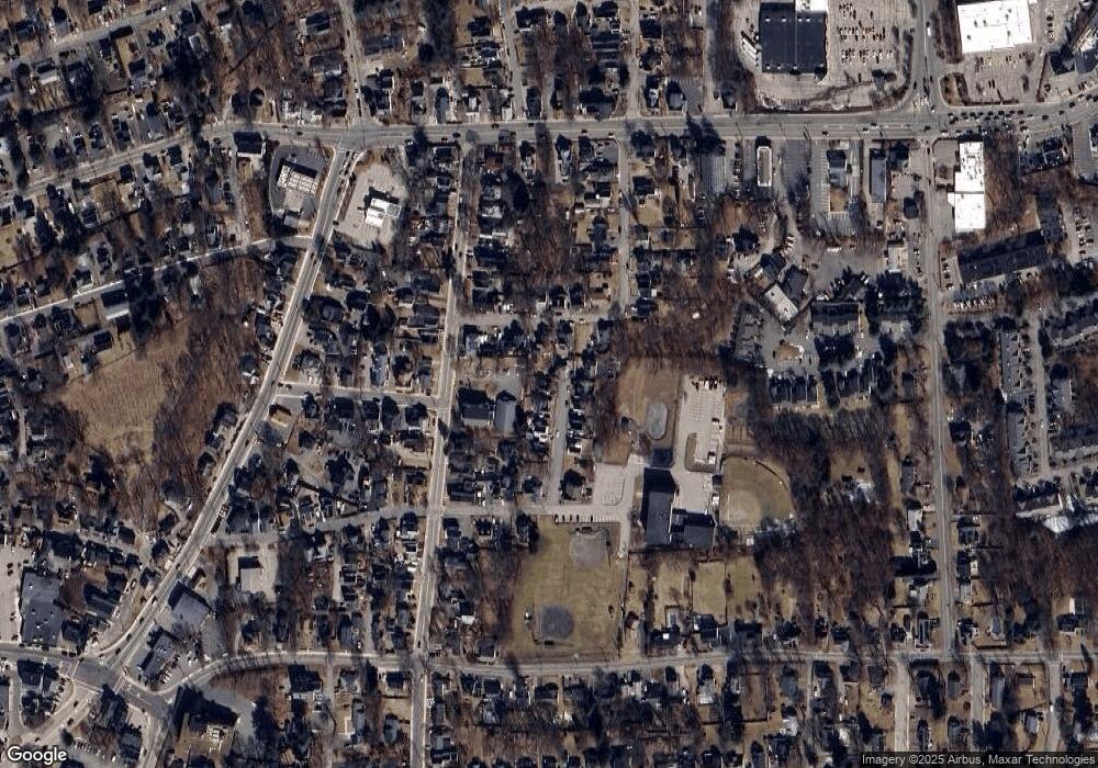
Map
Nearby Homes
- 8 Gates Ave
- 12 Gates Ave
- 17 Vine St
- 6 Gates Ave
- 11 Gates Ave Unit 1
- 11 Gates Ave Unit A
- 11 Gates Ave Unit A
- 11 Gates Ave Unit A
- 11 Gates Ave
- 11 Gates Ave Unit 2
- 11 Gates Ave Unit 3
- 9 Gates Ave
- 23 Vine St
- 11 Vine St
- 11 Vine St Unit 1
- 11 Vine St Unit 2
- 7 Gates Ave
- 11A Gates Ave Unit 2
- 11A Gates Ave Unit 1
- 11A Gates Ave Unit 3