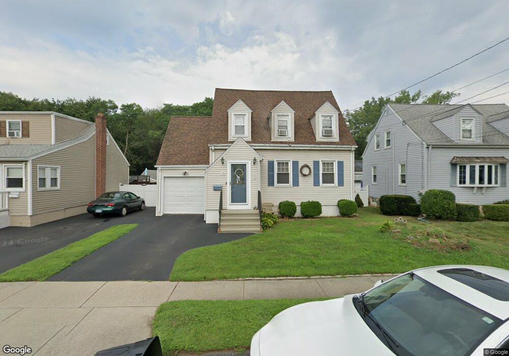
10 Gerrish Ave East Haven, CT 06512
Estimated Value: $312,000 - $354,000
2
Beds
1
Bath
1,027
Sq Ft
$322/Sq Ft
Est. Value
About This Home
This home is located at 10 Gerrish Ave, East Haven, CT 06512 and is currently estimated at $331,185, approximately $322 per square foot. 10 Gerrish Ave is a home located in New Haven County with nearby schools including East Haven High School, Cold Spring School, and Pathway School.
Ownership History
Date
Name
Owned For
Owner Type
Purchase Details
Closed on
May 1, 2001
Sold by
Desrosiers David and Desrosiers Andrea
Bought by
Dugan Michael W and Dugan Denise A
Current Estimated Value
Home Financials for this Owner
Home Financials are based on the most recent Mortgage that was taken out on this home.
Original Mortgage
$114,300
Interest Rate
6.88%
Create a Home Valuation Report for This Property
The Home Valuation Report is an in-depth analysis detailing your home's value as well as a comparison with similar homes in the area
Home Values in the Area
Average Home Value in this Area
Purchase History
| Date | Buyer | Sale Price | Title Company |
|---|---|---|---|
| Dugan Michael W | $127,000 | -- |
Source: Public Records
Mortgage History
| Date | Status | Borrower | Loan Amount |
|---|---|---|---|
| Open | Dugan Michael W | $176,000 | |
| Closed | Dugan Michael W | $114,300 |
Source: Public Records
Tax History
| Year | Tax Paid | Tax Assessment Tax Assessment Total Assessment is a certain percentage of the fair market value that is determined by local assessors to be the total taxable value of land and additions on the property. | Land | Improvement |
|---|---|---|---|---|
| 2025 | $4,543 | $135,870 | $46,620 | $89,250 |
| 2024 | $4,543 | $135,870 | $46,620 | $89,250 |
| 2023 | $4,239 | $135,870 | $46,620 | $89,250 |
| 2022 | $4,239 | $135,870 | $46,620 | $89,250 |
| 2021 | $3,856 | $112,590 | $44,590 | $68,000 |
| 2020 | $3,856 | $112,590 | $44,590 | $68,000 |
| 2019 | $3,650 | $112,590 | $44,590 | $68,000 |
| 2018 | $3,654 | $112,590 | $44,590 | $68,000 |
| 2017 | $3,552 | $112,590 | $44,590 | $68,000 |
| 2016 | $3,453 | $109,460 | $44,590 | $64,870 |
| 2015 | $3,453 | $109,460 | $44,590 | $64,870 |
| 2014 | $3,508 | $109,460 | $44,590 | $64,870 |
Source: Public Records
Map
Nearby Homes
- 316 Tyler St
- 31 Forest St
- 106 Burr St
- 102 Forest Street Extension
- 21 Carmen St
- 51 Hughes St
- 364 Main St Unit 6
- 88 Elizabeth Ann Dr
- 118 Frank St
- 366 Burr St
- 675 Townsend Ave Unit 157
- 46 Forbes Place
- 611 Main St
- 105 Sound View Terrace
- 45 Huntington Ave
- 44 Huntington Ave
- 745 Townsend Ave Unit Lot 1
- 745 Townsend Ave Unit Lot 2
- 745 Townsend Ave Unit Lot 4
- 745 Townsend Ave Unit Lot 6
Your Personal Tour Guide
Ask me questions while you tour the home.