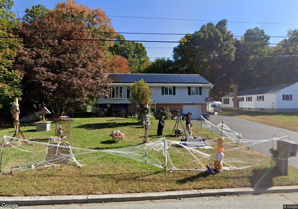
10 Glenvale St Waterford, CT 06385
Estimated Value: $473,614 - $492,000
4
Beds
4
Baths
1,996
Sq Ft
$240/Sq Ft
Est. Value
About This Home
This home is located at 10 Glenvale St, Waterford, CT 06385 and is currently estimated at $479,154, approximately $240 per square foot. 10 Glenvale St is a home located in New London County with nearby schools including Clark Lane Middle School, Waterford High School, and New London High School Multi-Magnet Campus.
Ownership History
Date
Name
Owned For
Owner Type
Purchase Details
Closed on
Sep 16, 1985
Bought by
Turner Jeffrey S and Turner Nancy G
Current Estimated Value
Create a Home Valuation Report for This Property
The Home Valuation Report is an in-depth analysis detailing your home's value as well as a comparison with similar homes in the area
Home Values in the Area
Average Home Value in this Area
Purchase History
| Date | Buyer | Sale Price | Title Company |
|---|---|---|---|
| Turner Jeffrey S | -- | -- |
Source: Public Records
Mortgage History
| Date | Status | Borrower | Loan Amount |
|---|---|---|---|
| Open | Turner Jeffrey S | $222,300 | |
| Closed | Turner Jeffrey S | $227,300 | |
| Closed | Turner Jeffrey S | $231,000 |
Source: Public Records
Tax History Compared to Growth
Tax History
| Year | Tax Paid | Tax Assessment Tax Assessment Total Assessment is a certain percentage of the fair market value that is determined by local assessors to be the total taxable value of land and additions on the property. | Land | Improvement |
|---|---|---|---|---|
| 2025 | $6,080 | $260,280 | $66,840 | $193,440 |
| 2024 | $5,804 | $260,280 | $66,840 | $193,440 |
| 2023 | $5,518 | $260,280 | $66,840 | $193,440 |
| 2022 | $5,733 | $208,010 | $48,910 | $159,100 |
| 2021 | $5,749 | $208,010 | $48,910 | $159,100 |
| 2020 | $5,770 | $207,050 | $48,910 | $158,140 |
| 2019 | $5,793 | $207,050 | $48,910 | $158,140 |
| 2018 | $5,677 | $207,050 | $48,910 | $158,140 |
| 2017 | $5,956 | $220,360 | $48,910 | $171,450 |
| 2016 | $5,901 | $220,360 | $48,910 | $171,450 |
| 2015 | $5,692 | $220,360 | $48,910 | $171,450 |
| 2014 | $5,692 | $220,360 | $48,910 | $171,450 |
Source: Public Records
Map
Nearby Homes
- 10 Hillcrest Dr
- 625 Vauxhall Street Extension
- 114 Bloomingdale Rd
- 118 Bloomingdale Rd
- 1 Chapman Ave
- 588 Vauxhall Street Extension
- 14 N Phillips St
- 47 Phillips St
- 41 5th Ave
- 430 Vauxhall St
- 20 Connshire Dr
- 70 Morgan St
- 3 Milton Rd
- 30 Margaret St
- 62 Douglas Ln
- 34 Rogers Hill Rd
- 140 Norwood Ave
- 19 Hawthorne Dr Unit 104
- 11 Mamacoke Rd
- 55 Raymond St