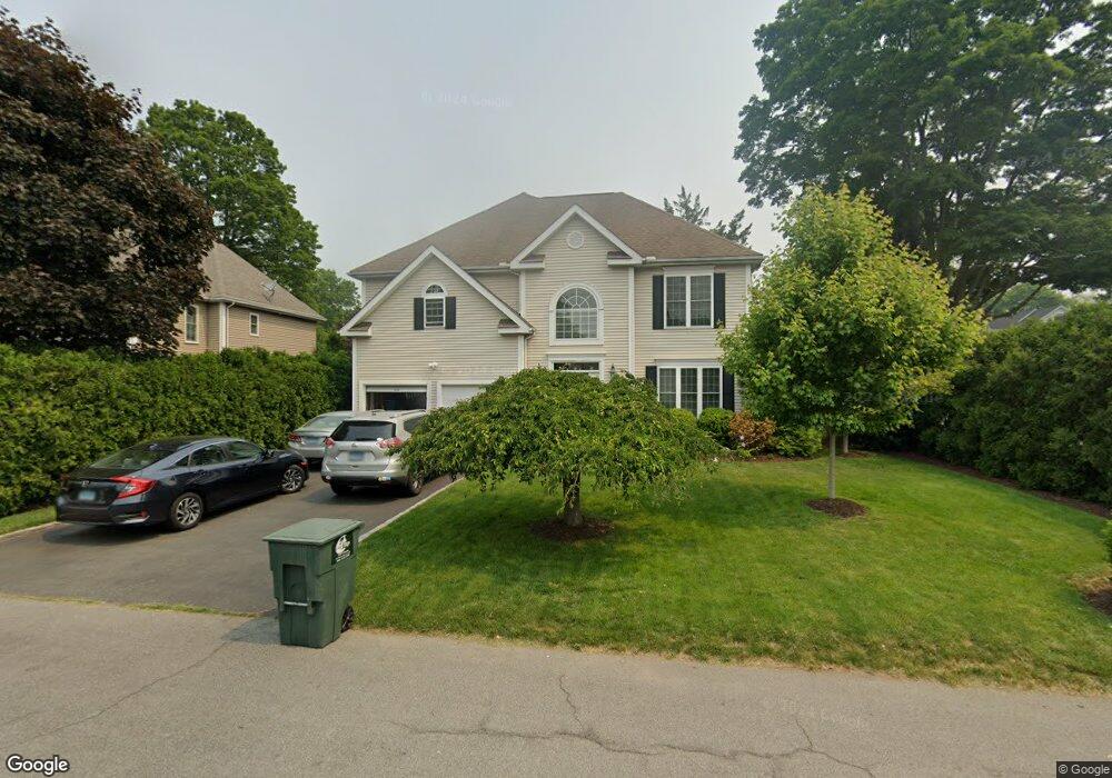
10 Glover St Fairfield, CT 06824
University NeighborhoodEstimated Value: $1,002,000 - $1,354,000
4
Beds
3
Baths
2,546
Sq Ft
$488/Sq Ft
Est. Value
About This Home
This home is located at 10 Glover St, Fairfield, CT 06824 and is currently estimated at $1,243,273, approximately $488 per square foot. 10 Glover St is a home located in Fairfield County with nearby schools including Riverfield Elementary School, Roger Ludlowe Middle School, and Fairfield Ludlowe High School.
Ownership History
Date
Name
Owned For
Owner Type
Purchase Details
Closed on
Jul 8, 1999
Sold by
Heritage Oaks Corp
Bought by
Landry Mark and Landry Jane G
Current Estimated Value
Home Financials for this Owner
Home Financials are based on the most recent Mortgage that was taken out on this home.
Original Mortgage
$200,000
Interest Rate
7.19%
Mortgage Type
Purchase Money Mortgage
Create a Home Valuation Report for This Property
The Home Valuation Report is an in-depth analysis detailing your home's value as well as a comparison with similar homes in the area
Home Values in the Area
Average Home Value in this Area
Purchase History
| Date | Buyer | Sale Price | Title Company |
|---|---|---|---|
| Landry Mark | $489,900 | -- | |
| Heritage Oaks Corp | $206,800 | -- | |
| Heritage Oaks Corp | $206,800 | -- |
Source: Public Records
Mortgage History
| Date | Status | Borrower | Loan Amount |
|---|---|---|---|
| Open | Heritage Oaks Corp | $377,350 | |
| Closed | Heritage Oaks Corp | $377,350 | |
| Closed | Heritage Oaks Corp | $200,000 | |
| Closed | Heritage Oaks Corp | $0 |
Source: Public Records
Tax History Compared to Growth
Tax History
| Year | Tax Paid | Tax Assessment Tax Assessment Total Assessment is a certain percentage of the fair market value that is determined by local assessors to be the total taxable value of land and additions on the property. | Land | Improvement |
|---|---|---|---|---|
| 2025 | $14,233 | $501,340 | $252,560 | $248,780 |
| 2024 | $13,987 | $501,340 | $252,560 | $248,780 |
| 2023 | $13,792 | $501,340 | $252,560 | $248,780 |
| 2022 | $13,657 | $501,340 | $252,560 | $248,780 |
| 2021 | $13,526 | $501,340 | $252,560 | $248,780 |
| 2020 | $14,367 | $536,270 | $249,830 | $286,440 |
| 2019 | $14,367 | $536,270 | $249,830 | $286,440 |
| 2018 | $14,136 | $536,270 | $249,830 | $286,440 |
| 2017 | $13,846 | $536,270 | $249,830 | $286,440 |
| 2016 | $13,648 | $536,270 | $249,830 | $286,440 |
| 2015 | $13,921 | $561,540 | $271,950 | $289,590 |
| 2014 | $13,702 | $561,540 | $271,950 | $289,590 |
Source: Public Records
Map
Nearby Homes
- 83 Pell Meadow Dr
- 232 Pell Meadow Dr
- 647 Bronson Rd
- 245 Unquowa Rd Unit 34
- 245 Unquowa Rd Unit 11
- 245 Unquowa Rd Unit 33
- 20 Ermine St
- 11 Twin Brooks Ln
- 400 Bronson Rd
- 476 Mill Hill Terrace
- 105 Charter Oak Rd
- 21 Beaumont St
- 53 Hilltop Dr
- 44 Deer Run Rd
- 43 Helen St
- 88 Overhill Rd
- 168 Wormwood Rd
- 100 Overhill Rd
- 1135 Mill Hill Rd
- 209 S Pine Creek Rd