10 Grinnell Rd Little Compton, RI 02837
Estimated Value: $1,837,000 - $5,043,000
3
Beds
2
Baths
1,232
Sq Ft
$3,216/Sq Ft
Est. Value
About This Home
This home is located at 10 Grinnell Rd, Little Compton, RI 02837 and is currently estimated at $3,962,514, approximately $3,216 per square foot. 10 Grinnell Rd is a home located in Newport County with nearby schools including Wilbur & McMahon School.
Ownership History
Date
Name
Owned For
Owner Type
Purchase Details
Closed on
Aug 4, 2021
Sold by
Givler Donald and Givler Amy M
Bought by
Givler Number 10 Llc
Current Estimated Value
Purchase Details
Closed on
Sep 29, 2020
Sold by
T John
Bought by
Givler Donald and Givler Amy M
Home Financials for this Owner
Home Financials are based on the most recent Mortgage that was taken out on this home.
Original Mortgage
$792,745
Interest Rate
2.8%
Mortgage Type
Purchase Money Mortgage
Create a Home Valuation Report for This Property
The Home Valuation Report is an in-depth analysis detailing your home's value as well as a comparison with similar homes in the area
Home Values in the Area
Average Home Value in this Area
Purchase History
| Date | Buyer | Sale Price | Title Company |
|---|---|---|---|
| Givler Number 10 Llc | -- | None Available | |
| Givler Donald | $3,200,000 | None Available |
Source: Public Records
Mortgage History
| Date | Status | Borrower | Loan Amount |
|---|---|---|---|
| Previous Owner | Givler Donald | $792,745 |
Source: Public Records
Tax History
| Year | Tax Paid | Tax Assessment Tax Assessment Total Assessment is a certain percentage of the fair market value that is determined by local assessors to be the total taxable value of land and additions on the property. | Land | Improvement |
|---|---|---|---|---|
| 2025 | $23,471 | $4,899,900 | $4,656,000 | $243,900 |
| 2024 | $18,523 | $3,646,300 | $3,420,900 | $225,400 |
| 2023 | $18,086 | $3,646,300 | $3,420,900 | $225,400 |
| 2022 | $17,867 | $3,646,300 | $3,420,900 | $225,400 |
| 2021 | $18,469 | $3,057,700 | $2,882,400 | $175,300 |
| 2020 | $18,305 | $3,056,000 | $2,882,400 | $173,600 |
| 2019 | $18,122 | $3,056,000 | $2,882,400 | $173,600 |
| 2018 | $18,214 | $3,056,000 | $2,882,400 | $173,600 |
| 2016 | $17,328 | $3,056,000 | $2,882,400 | $173,600 |
| 2015 | $13,152 | $2,287,300 | $2,111,900 | $175,400 |
| 2014 | $12,900 | $2,287,300 | $2,111,900 | $175,400 |
Source: Public Records
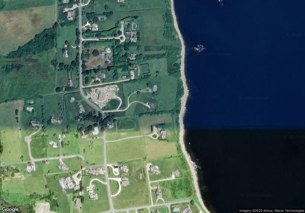
Map
Nearby Homes
- 49 Ocean Dr
- 141 S Of Commons Rd
- 30 Indian Rd
- 89 S Shore Rd
- 38 Old Bull Ln
- 128 Maple Ave
- 441 W Main Rd
- 0 Willow Ave
- 505 Long Hwy
- 141 Peckham Rd
- 515 Indian Ave
- 255 John Dyer Rd
- 180 W Main Rd
- 17 Ferolbink Way
- 155 W Main Rd
- 0 Indian Ave
- 225 Old Mill Ln
- 141 Gray Craig Rd
- 245 John Dyer Rd
- 180 Cottontail Dr
- 6 Grinnell Rd
- 20 Grinnell Rd
- 88 Warrens Point Rd
- 2 Grinnell Rd
- 14 Grinnell Rd
- 0 Grinnell Rd
- 82B Warrens Point Rd
- 82 Warrens Point Rd
- 82 Warrens Point Rd Unit A
- 82 Warrens Point Rd
- 86 Warrens Point Rd
- 5 Grinnell Rd
- 3 Grinnell Rd
- 84 Warrens Point Rd
- 24 Grinnell Rd
- 24 Atlantic Dr
- 82 Warren's Point Rd
- 61 Warrens Point Rd
- 61 Warren's Point Rd
- 63 Warren's Point Rd
Your Personal Tour Guide
Ask me questions while you tour the home.