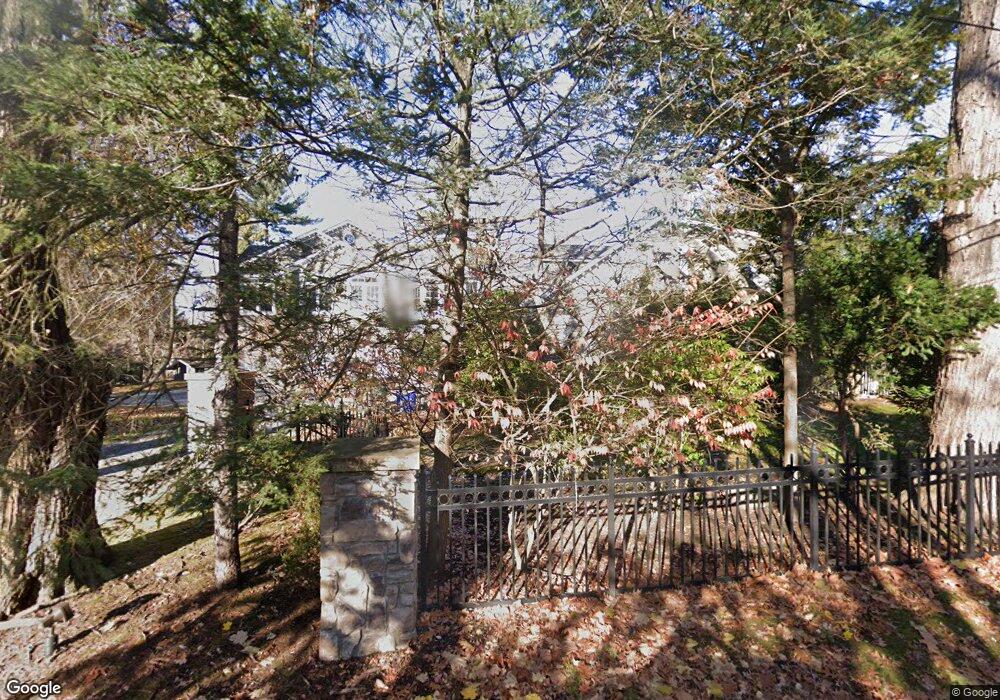
10 Grove St Closter, NJ 07624
Estimated Value: $2,472,135 - $3,137,000
Studio
--
Bath
5,902
Sq Ft
$479/Sq Ft
Est. Value
About This Home
This home is located at 10 Grove St, Closter, NJ 07624 and is currently estimated at $2,828,534, approximately $479 per square foot. 10 Grove St is a home located in Bergen County with nearby schools including Hillside Elementary School, Tenakill Middle School, and Northern Valley Regional High School at Demarest.
Ownership History
Date
Name
Owned For
Owner Type
Purchase Details
Closed on
Apr 2, 2013
Sold by
Stern Russell and Hoehn Jennifer
Bought by
Stern Russell and Hoehn Jennifer
Current Estimated Value
Purchase Details
Closed on
May 3, 2012
Sold by
Prastos Kosta and Prastos Marcy
Bought by
Stern Russel
Create a Home Valuation Report for This Property
The Home Valuation Report is an in-depth analysis detailing your home's value as well as a comparison with similar homes in the area
Home Values in the Area
Average Home Value in this Area
Purchase History
| Date | Buyer | Sale Price | Title Company |
|---|---|---|---|
| Stern Russell | -- | -- | |
| Stern Russel | $1,699,000 | -- |
Source: Public Records
Tax History
| Year | Tax Paid | Tax Assessment Tax Assessment Total Assessment is a certain percentage of the fair market value that is determined by local assessors to be the total taxable value of land and additions on the property. | Land | Improvement |
|---|---|---|---|---|
| 2025 | $39,072 | $2,017,600 | $721,900 | $1,295,700 |
| 2024 | $37,872 | $1,846,500 | $616,000 | $1,230,500 |
| 2023 | $36,732 | $1,766,400 | $568,500 | $1,197,900 |
| 2022 | $36,732 | $1,660,600 | $519,800 | $1,140,800 |
| 2021 | $36,659 | $1,591,100 | $507,300 | $1,083,800 |
| 2020 | $35,896 | $1,601,800 | $509,800 | $1,092,000 |
| 2019 | $35,040 | $1,580,500 | $504,800 | $1,075,700 |
| 2018 | $34,405 | $1,545,600 | $499,800 | $1,045,800 |
| 2017 | $37,162 | $1,628,500 | $507,000 | $1,121,500 |
| 2016 | $36,462 | $1,628,500 | $507,000 | $1,121,500 |
| 2015 | $35,664 | $1,628,500 | $507,000 | $1,121,500 |
| 2014 | $34,671 | $1,628,500 | $507,000 | $1,121,500 |
Source: Public Records
Map
Nearby Homes
- 8 Grove St
- 20 Grove St
- 180 Woodland Rd
- 276 Durie Ave
- 296 Durie Ave
- 395 Knickerbocker Rd
- 290 Durie Ave
- 401 Knickerbocker Rd
- 9 Grove St
- 30 Grove St
- 389 Knickerbocker Rd
- 191 Chestnut St
- 270 Durie Ave
- 176 Woodland Rd
- 308 Durie Ave
- 206 Knickerbocker Rd
- 194 Knickerbocker Rd
- 115 Oak St
- 260 Durie Ave
- 150 Columbus Ave
Your Personal Tour Guide
Ask me questions while you tour the home.