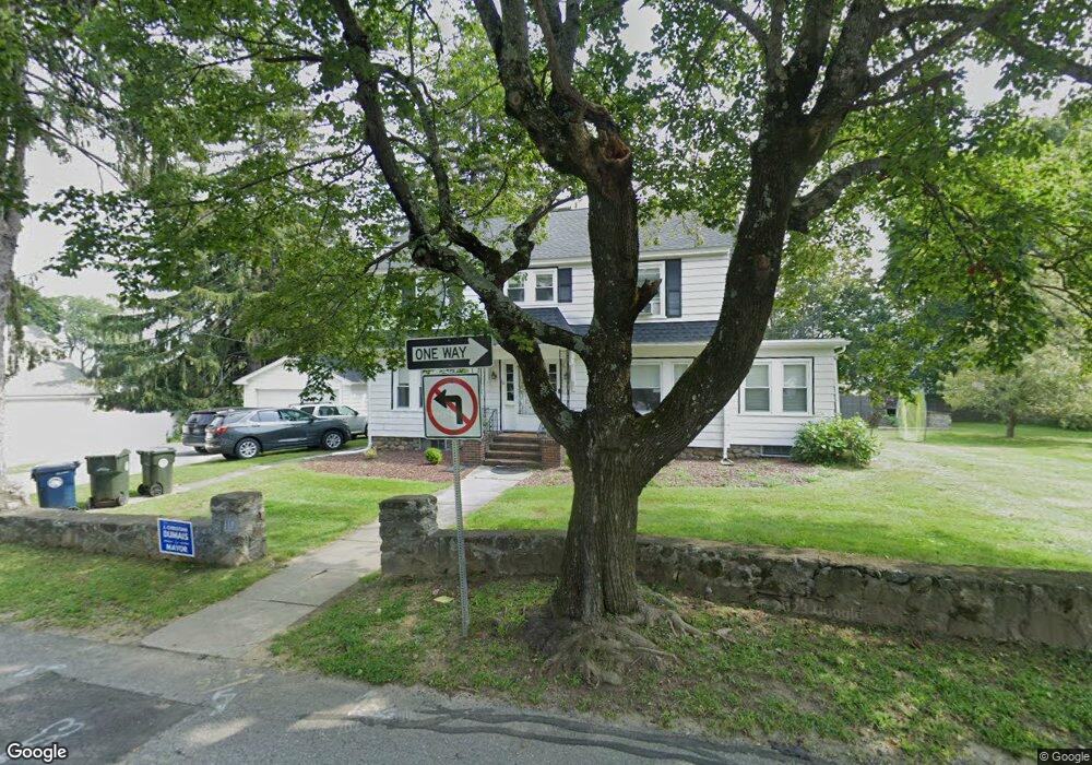
10 Grove St Marlborough, MA 01752
Estimated Value: $670,000 - $837,000
4
Beds
2
Baths
2,356
Sq Ft
$310/Sq Ft
Est. Value
About This Home
This home is located at 10 Grove St, Marlborough, MA 01752 and is currently estimated at $729,899, approximately $309 per square foot. 10 Grove St is a home located in Middlesex County with nearby schools including Marlborough High School, New Covenant Christian School, and Glenhaven Academy - JRI School.
Ownership History
Date
Name
Owned For
Owner Type
Purchase Details
Closed on
Mar 18, 2004
Sold by
10 Grove Rt
Bought by
Ryan Michael F and Ryan Denise E
Current Estimated Value
Home Financials for this Owner
Home Financials are based on the most recent Mortgage that was taken out on this home.
Original Mortgage
$265,000
Outstanding Balance
$124,196
Interest Rate
5.71%
Mortgage Type
Purchase Money Mortgage
Estimated Equity
$605,703
Purchase Details
Closed on
Jul 5, 1995
Sold by
Calandrella Dorothy A
Bought by
Ten Grove Rt and Tsanatelis Andreas
Home Financials for this Owner
Home Financials are based on the most recent Mortgage that was taken out on this home.
Original Mortgage
$111,500
Interest Rate
7.84%
Mortgage Type
Purchase Money Mortgage
Create a Home Valuation Report for This Property
The Home Valuation Report is an in-depth analysis detailing your home's value as well as a comparison with similar homes in the area
Home Values in the Area
Average Home Value in this Area
Purchase History
| Date | Buyer | Sale Price | Title Company |
|---|---|---|---|
| Ryan Michael F | $409,000 | -- | |
| Ten Grove Rt | $171,500 | -- |
Source: Public Records
Mortgage History
| Date | Status | Borrower | Loan Amount |
|---|---|---|---|
| Open | Ryan Michael F | $265,000 | |
| Previous Owner | Ten Grove Rt | $111,500 |
Source: Public Records
Tax History Compared to Growth
Tax History
| Year | Tax Paid | Tax Assessment Tax Assessment Total Assessment is a certain percentage of the fair market value that is determined by local assessors to be the total taxable value of land and additions on the property. | Land | Improvement |
|---|---|---|---|---|
| 2025 | $6,325 | $641,500 | $261,300 | $380,200 |
| 2024 | $6,119 | $597,600 | $237,500 | $360,100 |
| 2023 | $6,157 | $533,500 | $194,000 | $339,500 |
| 2022 | $6,037 | $460,100 | $184,600 | $275,500 |
| 2021 | $7,575 | $426,100 | $156,700 | $269,400 |
| 2020 | $5,700 | $402,000 | $143,900 | $258,100 |
| 2019 | $5,510 | $391,600 | $141,000 | $250,600 |
| 2018 | $5,325 | $364,000 | $120,800 | $243,200 |
| 2017 | $5,095 | $332,600 | $118,100 | $214,500 |
| 2016 | $5,051 | $329,300 | $118,100 | $211,200 |
| 2015 | $5,366 | $340,500 | $127,700 | $212,800 |
Source: Public Records
Map
Nearby Homes