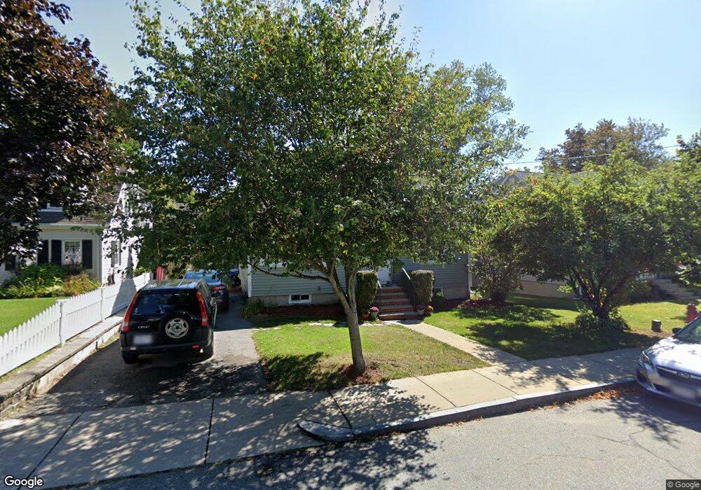
10 Hamilton Rd Woburn, MA 01801
Downtown Woburn NeighborhoodEstimated Value: $664,973 - $790,000
3
Beds
1
Bath
1,434
Sq Ft
$518/Sq Ft
Est. Value
About This Home
This home is located at 10 Hamilton Rd, Woburn, MA 01801 and is currently estimated at $742,243, approximately $517 per square foot. 10 Hamilton Rd is a home located in Middlesex County with nearby schools including Wyman Elementary School, John F. Kennedy Middle School, and Woburn High School.
Ownership History
Date
Name
Owned For
Owner Type
Purchase Details
Closed on
Oct 18, 1993
Sold by
Barrett Edward J and Barrett Marilyn T
Bought by
Barrett Lilla W
Current Estimated Value
Create a Home Valuation Report for This Property
The Home Valuation Report is an in-depth analysis detailing your home's value as well as a comparison with similar homes in the area
Home Values in the Area
Average Home Value in this Area
Purchase History
We collect this data history from publicly available records. To have your information removed, we recommend requesting removal directly through your county’s website.
| Date | Buyer | Sale Price | Title Company |
|---|---|---|---|
| Barrett Lilla W | $152,000 | -- | |
| Barrett Lilla W | $152,000 | -- |
Source: Public Records
Mortgage History
We collect this data history from publicly available records. To have your information removed, we recommend requesting removal directly through your county’s website.
| Date | Status | Borrower | Loan Amount |
|---|---|---|---|
| Open | Barrett Lilla W | $55,383 |
Source: Public Records
Tax History
| Year | Tax Paid | Tax Assessment Tax Assessment Total Assessment is a certain percentage of the fair market value that is determined by local assessors to be the total taxable value of land and additions on the property. | Land | Improvement |
|---|---|---|---|---|
| 2025 | $4,732 | $554,100 | $292,200 | $261,900 |
| 2024 | $4,250 | $527,300 | $278,300 | $249,000 |
| 2023 | $4,282 | $492,200 | $253,000 | $239,200 |
| 2022 | $4,150 | $444,300 | $220,000 | $224,300 |
| 2021 | $3,908 | $418,900 | $209,500 | $209,400 |
| 2020 | $3,719 | $399,000 | $209,500 | $189,500 |
| 2019 | $3,636 | $382,700 | $199,500 | $183,200 |
| 2018 | $3,529 | $356,800 | $183,100 | $173,700 |
| 2017 | $3,293 | $331,300 | $174,400 | $156,900 |
| 2016 | $3,183 | $316,700 | $163,000 | $153,700 |
| 2015 | $3,060 | $300,900 | $152,300 | $148,600 |
| 2014 | $2,862 | $274,100 | $152,300 | $121,800 |
Source: Public Records
Map
Nearby Homes
- 166 Place Ln Unit 166
- 321 Place Ln
- 48 Kilby St
- 605 Main St
- 12 Linden St
- 0 Fryeburg Rd
- 14 Church Ave
- 82 Lowell St
- 14 Forest Park Rd
- 80 N Warren St Unit 32
- 87 Winn St Unit 1
- 22 Franklin St
- 106 Mishawum Rd
- 148 Wyman St Unit 148
- 17 Grove St
- 8 Alfred Place
- 27 Park St
- 477 Main St
- 31 Houghton St
- 3 Georgia Dr
Your Personal Tour Guide
Ask me questions while you tour the home.