10 Harborview Dr Port Townsend, WA 98368
Kala Point NeighborhoodEstimated Value: $388,224 - $476,000
--
Bed
--
Bath
970
Sq Ft
$461/Sq Ft
Est. Value
About This Home
This home is located at 10 Harborview Dr, Port Townsend, WA 98368 and is currently estimated at $446,806, approximately $460 per square foot. 10 Harborview Dr is a home located in Jefferson County with nearby schools including Salish Coast Elementary School, Blue Heron Middle School, and Port Townsend High School.
Ownership History
Date
Name
Owned For
Owner Type
Purchase Details
Closed on
Jul 21, 2020
Sold by
Henthorn Barbara
Bought by
Headlee Paul G and Headlee Yvonne S
Current Estimated Value
Home Financials for this Owner
Home Financials are based on the most recent Mortgage that was taken out on this home.
Original Mortgage
$265,000
Outstanding Balance
$138,325
Interest Rate
3.1%
Mortgage Type
New Conventional
Estimated Equity
$308,481
Purchase Details
Closed on
Aug 1, 2019
Sold by
Tremblay Barbara S and Pulone Frances Laura
Bought by
Henthorn Barbara
Purchase Details
Closed on
Jul 8, 2013
Sold by
Tremblay Barbara S and Pulone Frances L
Bought by
Tremblay Barbara S and Pulone Frances L
Create a Home Valuation Report for This Property
The Home Valuation Report is an in-depth analysis detailing your home's value as well as a comparison with similar homes in the area
Home Values in the Area
Average Home Value in this Area
Purchase History
| Date | Buyer | Sale Price | Title Company |
|---|---|---|---|
| Headlee Paul G | $345,000 | First Amer Ttl Of Jefferson | |
| Henthorn Barbara | $417,303 | First American Title | |
| Tremblay Barbara S | -- | None Available | |
| Tremblay Barbara S | -- | None Available | |
| Tremblay Barbara S | -- | None Available |
Source: Public Records
Mortgage History
| Date | Status | Borrower | Loan Amount |
|---|---|---|---|
| Open | Headlee Paul G | $265,000 |
Source: Public Records
Tax History Compared to Growth
Tax History
| Year | Tax Paid | Tax Assessment Tax Assessment Total Assessment is a certain percentage of the fair market value that is determined by local assessors to be the total taxable value of land and additions on the property. | Land | Improvement |
|---|---|---|---|---|
| 2024 | $3,056 | $367,500 | $125,000 | $242,500 |
| 2023 | $3,056 | $349,255 | $115,000 | $234,255 |
| 2022 | $2,544 | $330,340 | $115,000 | $215,340 |
| 2021 | $2,411 | $264,735 | $94,500 | $170,235 |
| 2020 | $2,268 | $235,320 | $84,000 | $151,320 |
| 2019 | $1,935 | $215,710 | $77,000 | $138,710 |
| 2018 | $1,740 | $196,100 | $70,000 | $126,100 |
| 2017 | $1,452 | $155,090 | $41,600 | $113,490 |
| 2016 | $1,389 | $137,195 | $36,800 | $100,395 |
| 2015 | $1,390 | $137,195 | $36,800 | $100,395 |
| 2014 | -- | $137,195 | $36,800 | $100,395 |
| 2013 | -- | $119,300 | $32,000 | $87,300 |
Source: Public Records
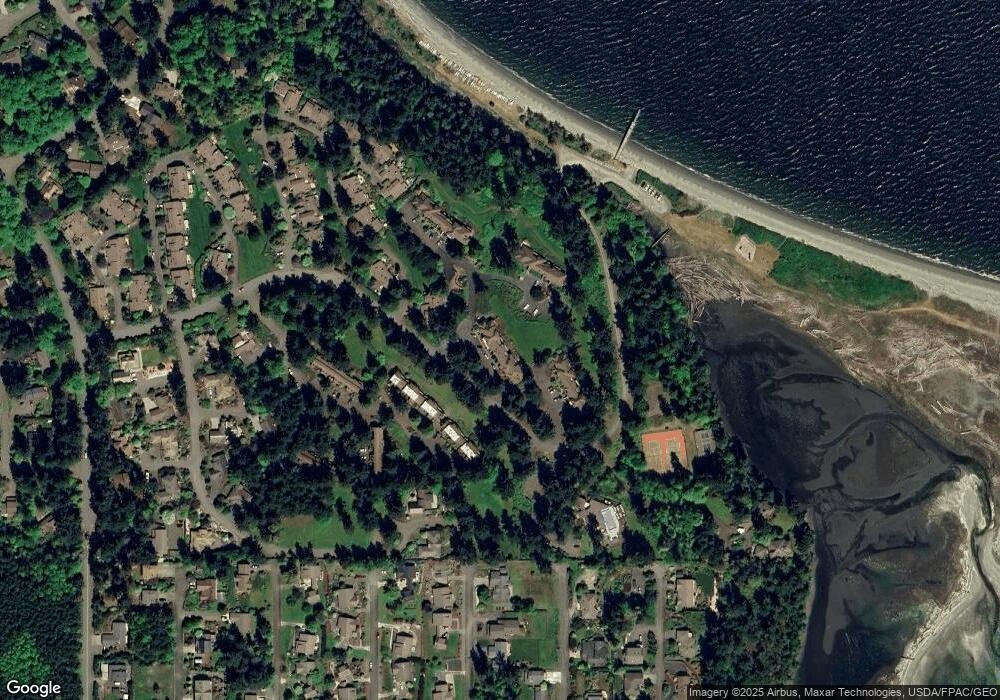
Map
Nearby Homes
- 261 Sailview Dr Unit 1
- 190 Bluffs Dr Unit 1
- 31 -2 Bluffs Ct
- 999 Kala Lagoon Ct
- 75 Kala Lagoon Ct
- 63 Bluffs Ln Unit 1
- 10 Windship Dr
- 82 S Victory Ave
- 267 Foxfield Dr
- 0 N Andrew Ave
- 28 Buckhorn Place
- 273 Foxfield Dr
- 0 Buckhorn Place
- 0 S Duquesne Ave
- 32 S Duquesne Ave
- 783 Prospect Ave
- 593 Prospect Ave
- 20 Seaview Ct Unit 1
- 225 Belvedere Dr
- 371 E Price St
- 10 Harborview Dr Unit 1
- 10 Harborview Dr Unit 4
- 10 Harborview Dr
- 10 Harborview Dr
- 10 Harborview Dr
- 10 Harborview Dr
- 10 Harborview Dr
- 10 Harborview Dr
- 10 Harborview Dr
- 10 Harborview Dr
- 10 Harborview Dr
- 10 Harborview Dr Unit 9
- 10 -2 Harborview
- 10 Harborview Dr Unit 3
- 10 Harborview Dr Unit 5
- 10 Harborview Dr Unit 8
- 10 Harborview Dr Unit 10
- 10 Harborview Dr Unit 7
- 10 4 Harborview Dr
- 10 Harborview Unit Dr Unit 8