10 Harry's Way Strong, ME 04983
Estimated Value: $710,000 - $741,853
3
Beds
4
Baths
6,100
Sq Ft
$120/Sq Ft
Est. Value
About This Home
This home is located at 10 Harry's Way, Strong, ME 04983 and is currently estimated at $729,213, approximately $119 per square foot. 10 Harry's Way is a home located in Franklin County with nearby schools including Mt. Abram Regional High School.
Ownership History
Date
Name
Owned For
Owner Type
Purchase Details
Closed on
Jul 16, 2025
Sold by
Milligan Jessica N and Milligan Stephen E
Bought by
Duff Jonathan and Duff Erin A
Current Estimated Value
Home Financials for this Owner
Home Financials are based on the most recent Mortgage that was taken out on this home.
Original Mortgage
$435,000
Outstanding Balance
$433,518
Interest Rate
6.85%
Mortgage Type
New Conventional
Estimated Equity
$295,695
Purchase Details
Closed on
Feb 20, 2009
Sold by
Allen Lucinda E
Bought by
Gordon Tracy L
Home Financials for this Owner
Home Financials are based on the most recent Mortgage that was taken out on this home.
Original Mortgage
$428,000
Interest Rate
5.5%
Mortgage Type
Commercial
Create a Home Valuation Report for This Property
The Home Valuation Report is an in-depth analysis detailing your home's value as well as a comparison with similar homes in the area
Home Values in the Area
Average Home Value in this Area
Purchase History
| Date | Buyer | Sale Price | Title Company |
|---|---|---|---|
| Duff Jonathan | $735,000 | -- | |
| Duff Jonathan | $735,000 | -- | |
| Gordon Tracy L | -- | -- | |
| Gordon Tracy L | -- | -- |
Source: Public Records
Mortgage History
| Date | Status | Borrower | Loan Amount |
|---|---|---|---|
| Open | Duff Jonathan | $435,000 | |
| Closed | Duff Jonathan | $435,000 | |
| Previous Owner | Gordon Tracy L | $428,000 |
Source: Public Records
Tax History Compared to Growth
Tax History
| Year | Tax Paid | Tax Assessment Tax Assessment Total Assessment is a certain percentage of the fair market value that is determined by local assessors to be the total taxable value of land and additions on the property. | Land | Improvement |
|---|---|---|---|---|
| 2024 | $6,828 | $387,980 | $45,300 | $342,680 |
| 2023 | $6,208 | $387,980 | $45,300 | $342,680 |
| 2022 | $6,130 | $387,980 | $45,300 | $342,680 |
| 2021 | $6,402 | $387,980 | $45,300 | $342,680 |
| 2020 | $5,492 | $321,180 | $52,200 | $268,980 |
| 2019 | $5,717 | $321,180 | $52,200 | $268,980 |
| 2018 | $4,978 | $321,180 | $52,200 | $268,980 |
| 2017 | $4,625 | $321,180 | $52,200 | $268,980 |
| 2016 | $4,561 | $321,180 | $52,200 | $268,980 |
| 2015 | $4,721 | $321,180 | $52,200 | $268,980 |
| 2013 | $4,111 | $321,180 | $52,200 | $268,980 |
Source: Public Records
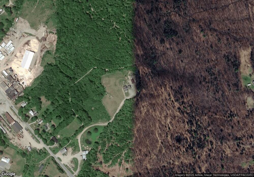
Map
Nearby Homes
- 44 Norton Hill Rd
- 29 River St
- U03-68-C Tbd
- 18 N Main St
- 83 Lambert Hill Rd
- 16 Whitetail Dr
- R-5 13-A Norton Hill Rd
- 22 W Freeman Rd
- 162.7 Collins Dr
- 9 Beechnut Ridge
- MR11 L35 Burbank Hill Rd
- 68 S Strong Rd
- 43 Brookside Ln
- Lot 4 Taylor Hill Rd
- 722 Farmington Rd
- Lot 12 Barker Rd
- 97 Lake St
- 94 New Vineyard Rd
- MR7 L31&37 Taylor Hill Rd
- 152 Johnson Rd
- 10 Aprils Way
- 12 Harrys Way
- 58 Norton Hill Rd
- 66 Norton Hill Rd
- 52 Norton Hill Rd
- 92 Norton Hill Rd
- 42 Norton Hill Rd
- 38 Norton Hill Rd
- 79 Norton Hill Rd
- 108 Norton Hill Rd
- 0 S Strong Rd Unit 844332
- 0 S Strong Rd Unit 546629
- 0 S Strong Rd Unit 321225
- 0 S Strong Rd Unit 321223
- 0 S Strong Rd Unit 303723
- 0 S Strong Rd Unit 260356
- 0 S Strong Rd Unit 735601
- 0 S Strong Rd Unit 260605
- 0 S Strong Rd Unit 621621
- 0 S Strong Rd Unit 557889