10 Hatcher Rd Quogue, NY 11959
Estimated Value: $3,707,000 - $5,239,000
5
Beds
5
Baths
3,500
Sq Ft
$1,273/Sq Ft
Est. Value
About This Home
This home is located at 10 Hatcher Rd, Quogue, NY 11959 and is currently estimated at $4,453,919, approximately $1,272 per square foot. 10 Hatcher Rd is a home located in Suffolk County.
Ownership History
Date
Name
Owned For
Owner Type
Purchase Details
Closed on
Dec 12, 2016
Sold by
Garufi Carmelo and Garufi Donna Brown
Bought by
Qureshi Abid and Qureshi Ariane
Current Estimated Value
Home Financials for this Owner
Home Financials are based on the most recent Mortgage that was taken out on this home.
Original Mortgage
$2,655,000
Interest Rate
3%
Mortgage Type
Adjustable Rate Mortgage/ARM
Create a Home Valuation Report for This Property
The Home Valuation Report is an in-depth analysis detailing your home's value as well as a comparison with similar homes in the area
Home Values in the Area
Average Home Value in this Area
Purchase History
| Date | Buyer | Sale Price | Title Company |
|---|---|---|---|
| Qureshi Abid | $3,014,999 | First American Title Insuran | |
| Qureshi Abid | $3,014,999 | First American Title Insuran |
Source: Public Records
Mortgage History
| Date | Status | Borrower | Loan Amount |
|---|---|---|---|
| Previous Owner | Qureshi Abid | $2,655,000 |
Source: Public Records
Tax History
| Year | Tax Paid | Tax Assessment Tax Assessment Total Assessment is a certain percentage of the fair market value that is determined by local assessors to be the total taxable value of land and additions on the property. | Land | Improvement |
|---|---|---|---|---|
| 2024 | $12,300 | $2,962,200 | $662,800 | $2,299,400 |
| 2023 | $14,634 | $2,962,200 | $662,800 | $2,299,400 |
| 2022 | $5,278 | $2,962,200 | $662,800 | $2,299,400 |
| 2021 | $5,422 | $2,948,900 | $662,800 | $2,286,100 |
| 2020 | $13,334 | $2,948,900 | $662,800 | $2,286,100 |
| 2019 | $13,880 | $0 | $0 | $0 |
| 2018 | -- | $2,948,900 | $662,800 | $2,286,100 |
| 2017 | $8,521 | $3,103,300 | $662,800 | $2,440,500 |
| 2016 | $5,312 | $1,800,000 | $596,500 | $1,203,500 |
| 2015 | -- | $1,150,400 | $530,200 | $620,200 |
| 2014 | -- | $1,150,400 | $530,200 | $620,200 |
Source: Public Records
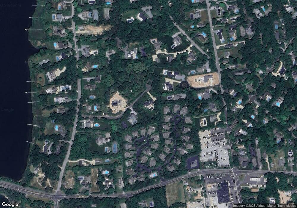
Map
Nearby Homes
- 34 Old Main Rd
- 29 Quantuck Bay Ln
- 107 Jessup Ave
- 69 Old Depot Rd
- 58 Old Depot Rd
- 56 Lamb Ave
- 620 Montauk Hwy Unit 33
- 39A Foster Rd
- 551 Main St
- 20 Deborah Dr
- 19 Quaquanantuck Ln
- 553 Main St
- 26 Fairview Ave
- 13 Beach Ln
- 11 Shinnecock Rd
- 149 Montauk Hwy
- 125 Montauk Hwy
- 11 John St
- 66 Peters Ln
- 137 Montauk Hwy
- 21 Montauk Hwy Unit 32
- 21-5 Montauk Hwy
- 21 Montauk Hwy Unit 21
- 21 Montauk Hwy Unit 20
- 23 Jessups Landing Ct
- 8 Hatcher Rd
- 22 Jessups Landing Ct
- 24 Jessups Landing Ct
- 11 Jessups Landing Ct
- 2 Piperwoods Ln
- 10 Jessups Landing Ct
- 21-26 Jessup's Landing
- 21 Jessups Landing Ct
- 21-22 Jessups Landing
- 3 Hatcher Dr
- 25 Jessups Landing Ct
- 20 Jessup's Landing
- 12 Jessups Landing Corners
- 20 Jessups Landing Unit 20
- 26 Jessups Landing Ct
Your Personal Tour Guide
Ask me questions while you tour the home.