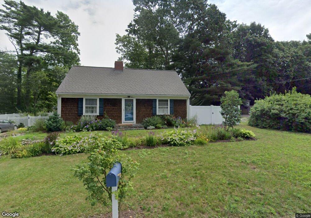
10 Hawthorne St Mattapoisett, MA 02739
Estimated Value: $522,148 - $591,000
4
Beds
1
Bath
1,404
Sq Ft
$391/Sq Ft
Est. Value
About This Home
This home is located at 10 Hawthorne St, Mattapoisett, MA 02739 and is currently estimated at $549,287, approximately $391 per square foot. 10 Hawthorne St is a home located in Plymouth County with nearby schools including Center School, Old Hammondtown Elementary, and Old Rochester Regional High School.
Ownership History
Date
Name
Owned For
Owner Type
Purchase Details
Closed on
Apr 24, 2007
Sold by
Reynolds Mark M and Reynolds Christina L
Bought by
Hodges Stacey K
Current Estimated Value
Home Financials for this Owner
Home Financials are based on the most recent Mortgage that was taken out on this home.
Original Mortgage
$304,900
Outstanding Balance
$184,756
Interest Rate
6.19%
Mortgage Type
Purchase Money Mortgage
Estimated Equity
$364,531
Purchase Details
Closed on
Dec 22, 1994
Sold by
Langlois John D and Langlois Anne S
Bought by
Reynolds Mark M and Reynolds Christina L
Purchase Details
Closed on
Sep 28, 1989
Sold by
Delano Ralph L
Bought by
Langlois John D
Create a Home Valuation Report for This Property
The Home Valuation Report is an in-depth analysis detailing your home's value as well as a comparison with similar homes in the area
Home Values in the Area
Average Home Value in this Area
Purchase History
| Date | Buyer | Sale Price | Title Company |
|---|---|---|---|
| Hodges Stacey K | $321,000 | -- | |
| Hodges Stacey K | $321,000 | -- | |
| Reynolds Mark M | $137,000 | -- | |
| Reynolds Mark M | $137,000 | -- | |
| Langlois John D | $150,000 | -- | |
| Langlois John D | $150,000 | -- |
Source: Public Records
Mortgage History
| Date | Status | Borrower | Loan Amount |
|---|---|---|---|
| Open | Langlois John D | $304,900 | |
| Closed | Langlois John D | $304,900 | |
| Previous Owner | Langlois John D | $98,000 |
Source: Public Records
Tax History Compared to Growth
Tax History
| Year | Tax Paid | Tax Assessment Tax Assessment Total Assessment is a certain percentage of the fair market value that is determined by local assessors to be the total taxable value of land and additions on the property. | Land | Improvement |
|---|---|---|---|---|
| 2025 | $4,106 | $381,600 | $162,200 | $219,400 |
| 2024 | $3,983 | $379,000 | $162,200 | $216,800 |
| 2023 | $4,039 | $359,000 | $144,800 | $214,200 |
| 2022 | $3,834 | $309,200 | $120,700 | $188,500 |
| 2021 | $3,714 | $286,600 | $134,100 | $152,500 |
| 2020 | $3,521 | $261,000 | $127,700 | $133,300 |
| 2019 | $3,448 | $261,000 | $127,700 | $133,300 |
| 2018 | $3,256 | $250,100 | $113,000 | $137,100 |
| 2017 | $3,185 | $243,700 | $113,000 | $130,700 |
| 2016 | $3,120 | $236,400 | $118,600 | $117,800 |
| 2015 | $3,000 | $230,800 | $113,000 | $117,800 |
| 2014 | $2,931 | $230,400 | $113,000 | $117,400 |
Source: Public Records
Map
Nearby Homes
- 10 Gosnold St
- 13 Park Place
- 9 Hitching Post Rd
- 6 Golf Cottage Way
- 35 North St
- 20 Cannon St
- 12 Cannon St
- 7 Pearl St
- 4 Beech Tree Ln
- 47 Fairhaven Rd
- 52 Prince Snow Cir
- 8 Captains Ln
- 11 Captains Ln
- 19 High Ridge Dr
- 31 Split Rock Ln
- 86 Fairhaven Rd
- 15 Ned's Point Rd
- 10 Shagbark Cr
- 18 Pine Island Rd
- 0 Whalers Way