10 Heron Cir Unit A Gloucester, MA 01930
West Gloucester NeighborhoodEstimated Value: $1,238,000 - $1,504,000
3
Beds
4
Baths
3,900
Sq Ft
$352/Sq Ft
Est. Value
About This Home
This home is located at 10 Heron Cir Unit A, Gloucester, MA 01930 and is currently estimated at $1,373,837, approximately $352 per square foot. 10 Heron Cir Unit A is a home located in Essex County with nearby schools including West Parish, Ralph B O'maley Middle School, and Gloucester High School.
Ownership History
Date
Name
Owned For
Owner Type
Purchase Details
Closed on
May 21, 2025
Sold by
Griner Kathryn
Bought by
Kathryn Griner 1994 Ret and Griner
Current Estimated Value
Purchase Details
Closed on
Aug 11, 2022
Sold by
Dest-Dodge Janet
Bought by
Griner Kathryn
Purchase Details
Closed on
Aug 16, 2012
Sold by
W Gloucester Capital
Bought by
Dest-Dodge Janet
Create a Home Valuation Report for This Property
The Home Valuation Report is an in-depth analysis detailing your home's value as well as a comparison with similar homes in the area
Home Values in the Area
Average Home Value in this Area
Purchase History
| Date | Buyer | Sale Price | Title Company |
|---|---|---|---|
| Kathryn Griner 1994 Ret | -- | None Available | |
| Kathryn Griner 1994 Ret | -- | None Available | |
| Kathryn Griner 1994 Ret | -- | None Available | |
| Griner Kathryn | $1,100,000 | None Available | |
| Griner Kathryn | $1,100,000 | None Available | |
| Dest-Dodge Janet | $866,322 | -- | |
| Dest-Dodge Janet | $866,322 | -- |
Source: Public Records
Tax History
| Year | Tax Paid | Tax Assessment Tax Assessment Total Assessment is a certain percentage of the fair market value that is determined by local assessors to be the total taxable value of land and additions on the property. | Land | Improvement |
|---|---|---|---|---|
| 2025 | $11,626 | $1,196,100 | $0 | $1,196,100 |
| 2024 | $10,912 | $1,121,500 | $0 | $1,121,500 |
| 2023 | $11,055 | $1,043,900 | $0 | $1,043,900 |
| 2022 | $11,677 | $995,500 | $0 | $995,500 |
| 2021 | $12,343 | $992,200 | $0 | $992,200 |
| 2020 | $12,365 | $1,002,800 | $0 | $1,002,800 |
| 2019 | $11,798 | $929,700 | $0 | $929,700 |
| 2018 | $11,887 | $919,300 | $0 | $919,300 |
| 2017 | $12,144 | $920,700 | $0 | $920,700 |
| 2016 | $12,174 | $894,500 | $0 | $894,500 |
| 2015 | -- | $899,100 | $0 | $899,100 |
Source: Public Records
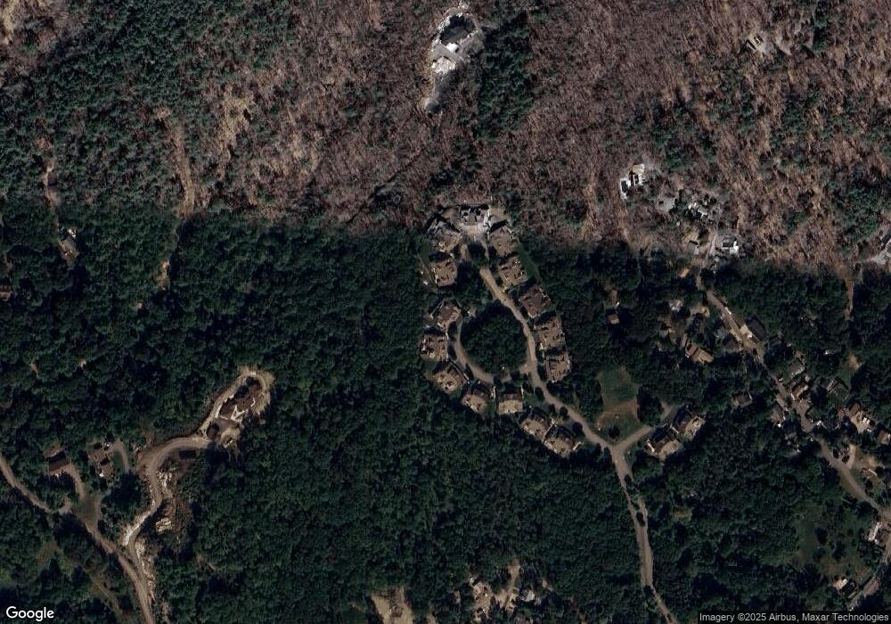
Map
Nearby Homes
- 167 Atlantic St
- 226 Atlantic St
- 7 Leaman Dr
- 13 Honeysuckle Rd
- 5 Samoset Rd Unit B
- 368 Essex Ave
- 357 Concord St
- 672 Washington St
- 587 Essex Ave
- 2 Finch Ln
- 6 Monroe Ct
- 15 Harvard St
- 98 Maplewood Ave
- 84 Centennial Ave
- 16 Cleveland Place Unit 11
- 139 Eastern Ave
- 5 Marshfield St
- 20 Beacon St Unit 2
- 20 Beacon St Unit 1
- 24 Lufkin St
- 10 Heron Cir
- 10 Heron Cir Unit B
- 10 Heron Cir Unit 17
- 10 Heron Cir Unit 18
- 8A Heron Cir
- 8 Heron Cir
- 8 Heron Cir Unit 19
- 9 Curlew Ct Unit B
- 9A Curlew Ct Unit 15
- 9A Curlew Ct Unit 1
- 9 Curlew Ct Unit 16
- 10 Curlew Ct Unit 2A
- 16 Curlew Ct Unit 1A
- 14 Curlew Ct
- 6B Heron Cir
- 6A Heron Cir Unit 22
- 7 Curlew Ct Unit B
- 7A Curlew Ct Unit 13
- 7 Curlew Ct Unit 14
- 7A Curlew Ct Unit 1