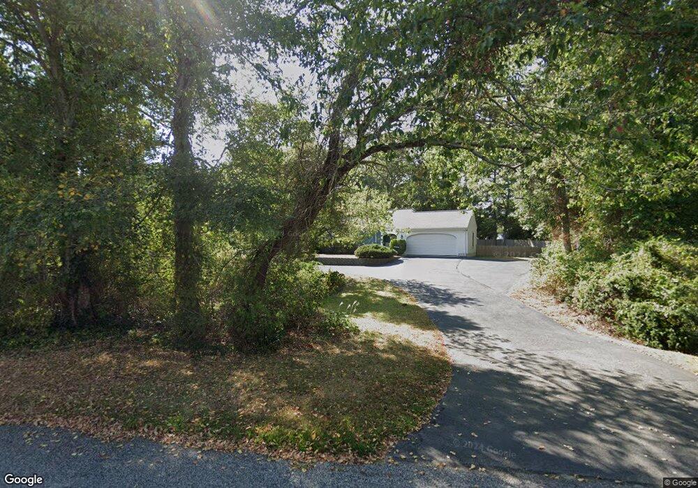
10 Herring Run Dr Centerville, MA 02632
Centerville NeighborhoodEstimated Value: $821,071 - $1,082,000
3
Beds
3
Baths
2,004
Sq Ft
$483/Sq Ft
Est. Value
About This Home
This home is located at 10 Herring Run Dr, Centerville, MA 02632 and is currently estimated at $967,018, approximately $482 per square foot. 10 Herring Run Dr is a home located in Barnstable County with nearby schools including Centerville Elementary School, Barnstable United Elementary School, and Barnstable Intermediate School.
Ownership History
Date
Name
Owned For
Owner Type
Purchase Details
Closed on
Mar 24, 2021
Sold by
Foley Daniel J and Foley Diane M
Bought by
Herring Run Drive Rt
Current Estimated Value
Purchase Details
Closed on
Jun 12, 2018
Sold by
Foley Diane M
Bought by
Foley Daniel J
Purchase Details
Closed on
May 2, 2018
Sold by
Faford Lisa A Est
Bought by
Foley Diane M
Purchase Details
Closed on
Mar 15, 1986
Bought by
Joseph Mildred
Create a Home Valuation Report for This Property
The Home Valuation Report is an in-depth analysis detailing your home's value as well as a comparison with similar homes in the area
Home Values in the Area
Average Home Value in this Area
Purchase History
We collect this data history from publicly available records. To have your information removed, we recommend requesting removal directly through your county’s website.
| Date | Buyer | Sale Price | Title Company |
|---|---|---|---|
| Herring Run Drive Rt | -- | None Available | |
| Foley Daniel J | -- | -- | |
| Foley Diane M | -- | -- | |
| Faford Lisa A Est | -- | -- | |
| Joseph Mildred | $190,000 | -- |
Source: Public Records
Tax History
| Year | Tax Paid | Tax Assessment Tax Assessment Total Assessment is a certain percentage of the fair market value that is determined by local assessors to be the total taxable value of land and additions on the property. | Land | Improvement |
|---|---|---|---|---|
| 2025 | $6,347 | $784,500 | $180,700 | $603,800 |
| 2024 | $6,081 | $778,600 | $180,700 | $597,900 |
| 2023 | $5,775 | $692,500 | $178,600 | $513,900 |
| 2022 | $5,495 | $570,000 | $127,000 | $443,000 |
| 2021 | $4,948 | $471,700 | $127,000 | $344,700 |
| 2020 | $4,989 | $455,200 | $127,000 | $328,200 |
| 2019 | $4,681 | $415,000 | $127,000 | $288,000 |
| 2018 | $4,283 | $381,700 | $139,300 | $242,400 |
| 2017 | $3,982 | $370,100 | $139,300 | $230,800 |
| 2016 | $4,048 | $371,400 | $140,600 | $230,800 |
| 2015 | $3,978 | $366,600 | $137,900 | $228,700 |
Source: Public Records
Map
Nearby Homes
- 40 Riverview Ln
- 442 Pine St
- 290 Riverview Ln
- 30 Elliott Rd
- 181 Elliott Rd
- 6 Scottsdale Rd
- 104 Seagate Ln
- 58 Sachem Dr
- 15 Pine Valley Rd
- 775 W Main St Unit 5
- 775 W Main St Unit 15
- 109 Harbor Hills Rd
- 61 Linda Ln
- 365 Phinneys Ln
- 443 Elliott Rd
- 175 Old Post Rd
- 123 Old Post Rd
- 58 Loomis Ln
- 498 Elliott Rd
- 344 Main St Unit 5
Your Personal Tour Guide
Ask me questions while you tour the home.