10 High Meadow Ln Basking Ridge, NJ 07920
Estimated Value: $1,906,000 - $2,012,000
--
Bed
--
Bath
4,452
Sq Ft
$439/Sq Ft
Est. Value
About This Home
This home is located at 10 High Meadow Ln, Basking Ridge, NJ 07920 and is currently estimated at $1,954,736, approximately $439 per square foot. 10 High Meadow Ln is a home located in Somerset County with nearby schools including Mount Prospect Elementary School, William Annin Middle School, and Ridge High School.
Ownership History
Date
Name
Owned For
Owner Type
Purchase Details
Closed on
Mar 28, 2013
Sold by
Jacobs Fritz Emil and Jacobs Rosanne Z
Bought by
Mcmahon Sean M and Mcmahon Claudine S
Current Estimated Value
Home Financials for this Owner
Home Financials are based on the most recent Mortgage that was taken out on this home.
Original Mortgage
$400,000
Outstanding Balance
$283,494
Interest Rate
3.56%
Mortgage Type
Credit Line Revolving
Estimated Equity
$1,671,242
Purchase Details
Closed on
Aug 13, 2002
Sold by
Bernard Arthur
Bought by
Jacobs Fritz and Jacobs Rosanne
Home Financials for this Owner
Home Financials are based on the most recent Mortgage that was taken out on this home.
Original Mortgage
$1,068,750
Interest Rate
6.55%
Purchase Details
Closed on
Sep 5, 1997
Sold by
Centrone Building
Bought by
Bernard Arthur and Thespina Bernard
Home Financials for this Owner
Home Financials are based on the most recent Mortgage that was taken out on this home.
Original Mortgage
$315,000
Interest Rate
7.31%
Create a Home Valuation Report for This Property
The Home Valuation Report is an in-depth analysis detailing your home's value as well as a comparison with similar homes in the area
Home Values in the Area
Average Home Value in this Area
Purchase History
| Date | Buyer | Sale Price | Title Company |
|---|---|---|---|
| Mcmahon Sean M | $1,475,000 | None Available | |
| Jacobs Fritz | $1,425,000 | -- | |
| Bernard Arthur | $750,000 | -- |
Source: Public Records
Mortgage History
| Date | Status | Borrower | Loan Amount |
|---|---|---|---|
| Open | Mcmahon Sean M | $400,000 | |
| Open | Mcmahon Sean M | $750,000 | |
| Previous Owner | Jacobs Fritz | $1,068,750 | |
| Previous Owner | Bernard Arthur | $315,000 |
Source: Public Records
Tax History Compared to Growth
Tax History
| Year | Tax Paid | Tax Assessment Tax Assessment Total Assessment is a certain percentage of the fair market value that is determined by local assessors to be the total taxable value of land and additions on the property. | Land | Improvement |
|---|---|---|---|---|
| 2025 | $26,354 | $1,700,500 | $541,500 | $1,159,000 |
| 2024 | $26,354 | $1,481,400 | $475,000 | $1,006,400 |
| 2023 | $26,027 | $1,380,000 | $446,500 | $933,500 |
| 2022 | $25,204 | $1,253,300 | $446,500 | $806,800 |
| 2021 | $24,655 | $1,168,500 | $446,500 | $722,000 |
| 2020 | $24,609 | $1,175,200 | $456,000 | $719,200 |
| 2019 | $26,649 | $1,310,200 | $459,000 | $851,200 |
| 2018 | $26,320 | $1,312,700 | $468,000 | $844,700 |
| 2017 | $26,599 | $1,337,300 | $494,000 | $843,300 |
| 2016 | $27,696 | $1,419,600 | $494,000 | $925,600 |
| 2015 | $26,320 | $1,373,700 | $494,000 | $879,700 |
| 2014 | $26,954 | $1,393,700 | $494,000 | $899,700 |
Source: Public Records
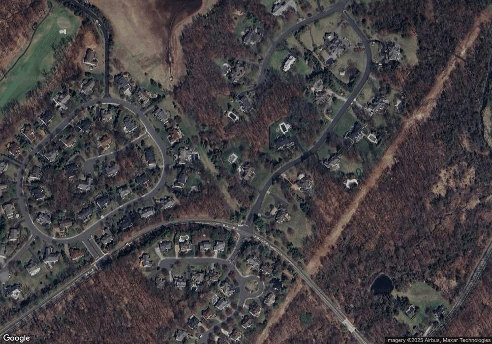
Map
Nearby Homes
- 213 Liberty Corner Rd
- 27 Parkwood Ln
- 234 Liberty Corner Rd
- 49 Liberty Corner Rd
- 41 Dickinson Rd
- 167 Douglas Rd
- 32 Mayflower Dr Unit E1
- 14 Hadley Ct
- 23 Hansom Rd
- 12 Hansom Rd
- 4 Hansom Rd
- 10 Baldwin Ave
- 35 Primrose Ln
- 25 Stevens Ct
- 10 Morgan Ct
- 971 Washington Valley Rd
- 22 Morgan Ct
- 14 Woodward Ln
- 22 Woodward Ln
- 144 Liberty Corner Rd
- 22 High Meadow Ln
- 7 High Meadow Ln
- 78 Independence Dr
- 19 High Meadow Ln
- 82 Independence Dr
- 140 Woodman Ln
- 1 Beacon Crest Dr
- 86 Independence Dr
- 72 Independence Dr
- 3 Beacon Crest Dr
- 10 Beacon Crest Dr
- 27 High Meadow Ln
- 5 Beacon Crest Dr
- 75 Independence Dr
- 66 Independence Dr
- 85 Independence Dr
- 137 Woodman Ln
- 12 Beacon Crest Dr
- 36 High Meadow Ln
- 2 Beacon Crest Dr