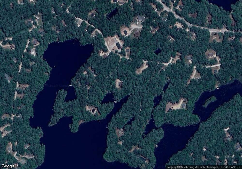
10 High Point Cir North Waterboro, ME 04061
Lake Arrowhead NeighborhoodEstimated Value: $567,000 - $913,000
3
Beds
3
Baths
1,938
Sq Ft
$359/Sq Ft
Est. Value
About This Home
This home is located at 10 High Point Cir, North Waterboro, ME 04061 and is currently estimated at $695,748, approximately $359 per square foot. 10 High Point Cir is a home with nearby schools including Massabesic High School.
Ownership History
Date
Name
Owned For
Owner Type
Purchase Details
Closed on
Jun 8, 2023
Sold by
Weisenbach David B
Bought by
Weisenbach Sharon A
Current Estimated Value
Home Financials for this Owner
Home Financials are based on the most recent Mortgage that was taken out on this home.
Original Mortgage
$425,000
Outstanding Balance
$409,962
Interest Rate
5.25%
Mortgage Type
Purchase Money Mortgage
Estimated Equity
$285,786
Purchase Details
Closed on
Jun 13, 2005
Sold by
Weisenbach Patricia A and Weisenbach Richard A
Bought by
Weisenbach Sharon and Weisenbach David B
Create a Home Valuation Report for This Property
The Home Valuation Report is an in-depth analysis detailing your home's value as well as a comparison with similar homes in the area
Home Values in the Area
Average Home Value in this Area
Purchase History
| Date | Buyer | Sale Price | Title Company |
|---|---|---|---|
| Weisenbach Sharon A | -- | None Available | |
| Weisenbach Sharon A | -- | None Available | |
| Weisenbach Sharon A | -- | None Available | |
| Weisenbach Sharon A | -- | None Available | |
| Weisenbach Sharon | -- | -- | |
| Weisenbach Sharon | -- | -- |
Source: Public Records
Mortgage History
| Date | Status | Borrower | Loan Amount |
|---|---|---|---|
| Open | Weisenbach Sharon A | $425,000 | |
| Closed | Weisenbach Sharon A | $425,000 | |
| Previous Owner | Weisenbach Sharon | $50,000 |
Source: Public Records
Tax History Compared to Growth
Tax History
| Year | Tax Paid | Tax Assessment Tax Assessment Total Assessment is a certain percentage of the fair market value that is determined by local assessors to be the total taxable value of land and additions on the property. | Land | Improvement |
|---|---|---|---|---|
| 2024 | $6,947 | $628,700 | $252,600 | $376,100 |
| 2023 | $7,186 | $544,400 | $253,700 | $290,700 |
| 2022 | $6,793 | $485,200 | $226,300 | $258,900 |
| 2021 | $6,608 | $439,100 | $205,700 | $233,400 |
| 2020 | $6,168 | $400,800 | $188,600 | $212,200 |
| 2019 | $5,904 | $383,600 | $171,400 | $212,200 |
| 2018 | $5,859 | $380,700 | $171,400 | $209,300 |
| 2017 | $5,878 | $380,700 | $171,400 | $209,300 |
| 2016 | $5,802 | $380,700 | $171,400 | $209,300 |
| 2015 | $5,436 | $389,700 | $180,400 | $209,300 |
| 2014 | $5,452 | $389,700 | $180,400 | $209,300 |
| 2013 | $5,316 | $389,700 | $180,400 | $209,300 |
Source: Public Records
Map
Nearby Homes
- 17 High Point Cir
- 60 Sequoia Ln
- 386 Lenox Cir
- 107 Sequoia Ln
- 685 Crystal Ln
- 138 Fairview Dr
- Lot 2203 Kennedy Dr
- 4 Dragonfly Cir
- 56 Paradise Ln
- 6 Little Ossipee Landing
- 0 Island Rd Unit 1643509
- TBD New Dam Rd
- 13 Quaker Ln
- Mp44Lt270 Silver Ln
- 0 Hunter Rd Unit 1643176
- 157 Silver Ln
- 50 Island Rd
- 474 Doles Ridge Rd
- 446 Doles Ridge Rd
- 00 Doles Ridge Rd
- 0 High Point Cir
- 1664 High Point Cir
- 19 High Point Cir
- 0 Ash Ct Unit 533669
- 0 Ash Ct Unit 1258585
- 0 Ash Ct Unit 1287157
- 0 Ash Ct Unit 1304743
- 0 Ash Ct Unit 1377558
- 28 High Point Cir
- 106 Sequoia Ln
- 21 High Point Cir
- TBD Ash Ct
- 33 Ash Ct
- 0 High Point Cir Unit 1216653
- 0 High Point Cir Unit 1280082
- 16 Lenox Cir
- 0 Sequoia Ln
- 32 High Point Cir
- 102 Sequoia Ln
- 102 Sequoia Ln
