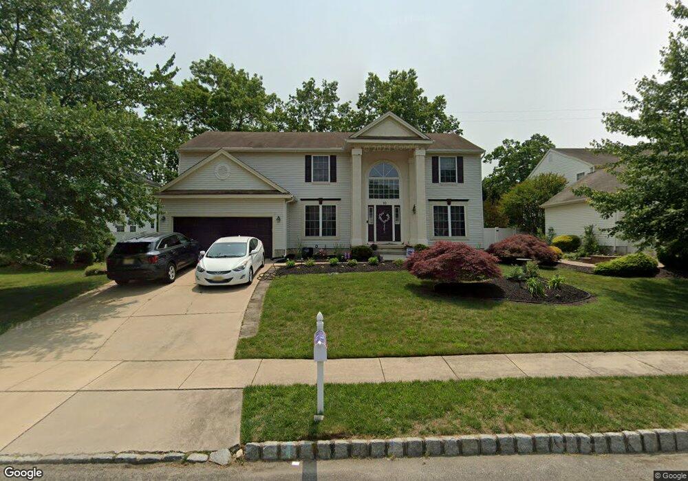
10 High Woods Ave Sicklerville, NJ 08081
Erial NeighborhoodEstimated Value: $527,128 - $588,000
--
Bed
--
Bath
2,716
Sq Ft
$203/Sq Ft
Est. Value
About This Home
This home is located at 10 High Woods Ave, Sicklerville, NJ 08081 and is currently estimated at $551,532, approximately $203 per square foot. 10 High Woods Ave is a home located in Camden County with nearby schools including Timber Creek High School and Erial Community Church Christian School.
Ownership History
Date
Name
Owned For
Owner Type
Purchase Details
Closed on
Oct 15, 2001
Sold by
Paparone Homes Of Nj Inc
Bought by
Boffo Ronald W and Boffo Lisa M
Current Estimated Value
Home Financials for this Owner
Home Financials are based on the most recent Mortgage that was taken out on this home.
Original Mortgage
$154,000
Outstanding Balance
$59,752
Interest Rate
6.77%
Estimated Equity
$491,780
Create a Home Valuation Report for This Property
The Home Valuation Report is an in-depth analysis detailing your home's value as well as a comparison with similar homes in the area
Home Values in the Area
Average Home Value in this Area
Purchase History
| Date | Buyer | Sale Price | Title Company |
|---|---|---|---|
| Boffo Ronald W | $192,600 | -- |
Source: Public Records
Mortgage History
| Date | Status | Borrower | Loan Amount |
|---|---|---|---|
| Open | Boffo Ronald W | $154,000 |
Source: Public Records
Tax History Compared to Growth
Tax History
| Year | Tax Paid | Tax Assessment Tax Assessment Total Assessment is a certain percentage of the fair market value that is determined by local assessors to be the total taxable value of land and additions on the property. | Land | Improvement |
|---|---|---|---|---|
| 2025 | $11,333 | $265,400 | $47,600 | $217,800 |
| 2024 | $11,019 | $265,400 | $47,600 | $217,800 |
| 2023 | $11,019 | $265,400 | $47,600 | $217,800 |
| 2022 | $10,950 | $265,400 | $47,600 | $217,800 |
| 2021 | $10,709 | $265,400 | $47,600 | $217,800 |
| 2020 | $10,701 | $265,400 | $47,600 | $217,800 |
| 2019 | $10,481 | $265,400 | $47,600 | $217,800 |
| 2018 | $10,441 | $265,400 | $47,600 | $217,800 |
| 2017 | $10,104 | $265,400 | $47,600 | $217,800 |
| 2016 | $9,886 | $265,400 | $47,600 | $217,800 |
| 2015 | $9,180 | $265,400 | $47,600 | $217,800 |
| 2014 | $9,119 | $265,400 | $47,600 | $217,800 |
Source: Public Records
Map
Nearby Homes
- 12 Loft Mountain Dr Unit LM012
- 118 Shenandoah Dr Unit SH118
- 37 Loft Mountain Dr
- 138 Saint Moritz Dr
- 28 Mary Ellen Ln
- 34 Skyline Dr
- 90 Shenandoah Dr
- 73 Hazeltop Dr
- 21 Loft Mountain Dr
- 49 Hazeltop Dr Unit HZ049
- 50 Loft Mountain Dr
- 1588 Kearsley Rd
- 1490 Kearsley Rd
- 1 Carrie Place
- 25 Estates Ct
- 93 Grant Ln
- 108 Estates Rd
- 5 Ford Ln
- 13 Ford Ln
- 130 E Clearview Ave
- 12 High Woods Ave
- 14 High Woods Ave
- 6 High Woods Ave
- 11 High Woods Ave
- 9 High Woods Ave
- 16 High Woods Ave
- 4 High Woods Ave
- 13 High Woods Ave
- 5 High Woods Ave
- 18 High Woods Ave
- 15 High Woods Ave
- 2 High Woods Ave
- 17 High Woods Ave
- 3 High Woods Ave
- 1320 Kearsley Rd
- 101 Wood Thrush Ave
- 66 Cedar Grove Dr
- 1 High Woods Ave
- 105 Wood Thrush Ave
- 22 High Woods Ave