--
Bed
--
Bath
33,540
Sq Ft
2.83
Acres
About This Home
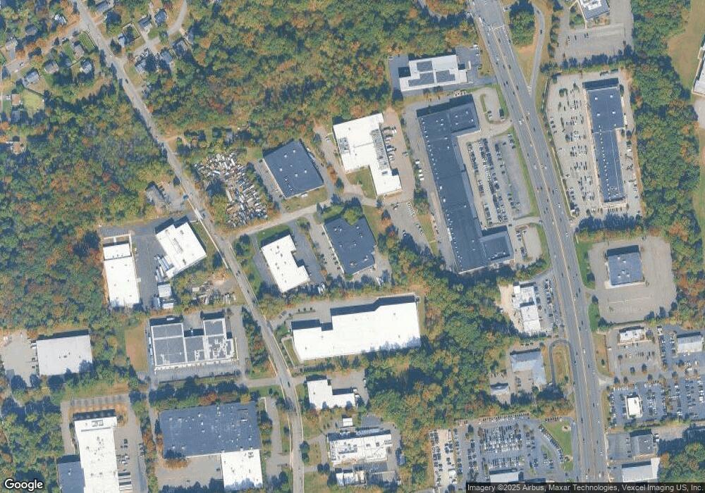
This home is located at 10 Highpoint Dr, Wayne, NJ 07470. 10 Highpoint Dr is a home with nearby schools including Ryerson Elementary School, George Washington Middle School, and Wayne Valley High School.
Create a Home Valuation Report for This Property
The Home Valuation Report is an in-depth analysis detailing your home's value as well as a comparison with similar homes in the area
Home Values in the Area
Average Home Value in this Area
Tax History Compared to Growth
Tax History
| Year | Tax Paid | Tax Assessment Tax Assessment Total Assessment is a certain percentage of the fair market value that is determined by local assessors to be the total taxable value of land and additions on the property. | Land | Improvement |
|---|---|---|---|---|
| 2025 | $124,789 | $2,098,700 | $752,200 | $1,346,500 |
| 2024 | $120,004 | $2,098,700 | $752,200 | $1,346,500 |
| 2022 | $118,661 | $2,098,700 | $752,200 | $1,346,500 |
| 2021 | $118,535 | $2,098,700 | $752,200 | $1,346,500 |
| 2020 | $118,010 | $2,098,700 | $752,200 | $1,346,500 |
| 2019 | $115,722 | $2,098,700 | $752,200 | $1,346,500 |
| 2018 | $114,694 | $2,098,700 | $752,200 | $1,346,500 |
| 2017 | $139,653 | $2,579,000 | $752,200 | $1,826,800 |
| 2016 | $137,693 | $2,579,000 | $752,200 | $1,826,800 |
| 2015 | $136,042 | $2,579,000 | $752,200 | $1,826,800 |
| 2014 | $132,200 | $2,579,000 | $752,200 | $1,826,800 |
Source: Public Records
Map
Nearby Homes
- 202 Newark Pompton Turnpike
- 20 Newark Pompton Turnpike
- 0 Oakwood Ave Unit 3989632
- 00 Oakwood Ave
- 27 Marlin Ave
- 38 Marlin Ave
- 187 Hillcrest Dr
- 134 Oakwood Dr
- 107 Randolph St
- 138 Lake Dr W
- 8 Torbet Dr
- 43 Madison St
- 11 Robin Hood Way
- 1 Lenape Trail
- 7 1st St
- 9 Allison Ct
- 30 Alpine Dr
- 140 de Hart St
- 120 Greenwood Ave
- 71 Lake Trail E
- 390 Newark Pompton Turnpike
- 1595 State Route 23
- 452 Newark Pompton Turnpike
- 372 Newark Pompton Turnpike
- 423 Newark Pompton Turnpike
- 1581 New Jersey 23
- 1581 State Route 23 Unit 1
- 1581 State Route 23
- 474 Newark Pompton Turnpike
- 1575 State Route 23 Unit 1
- 1575 State Route 23
- 1555 State Route 23
- 455 Newark Pompton Turnpike Unit 2nd
- 1575 New Jersey 23
- 12 Laytham Dr
- 10 Laytham Dr
- 346 Newark Pompton Turnpike
- 8 Laytham Dr
- 494 Newark Pompton Turnpike
- 1600 Route 23 N
