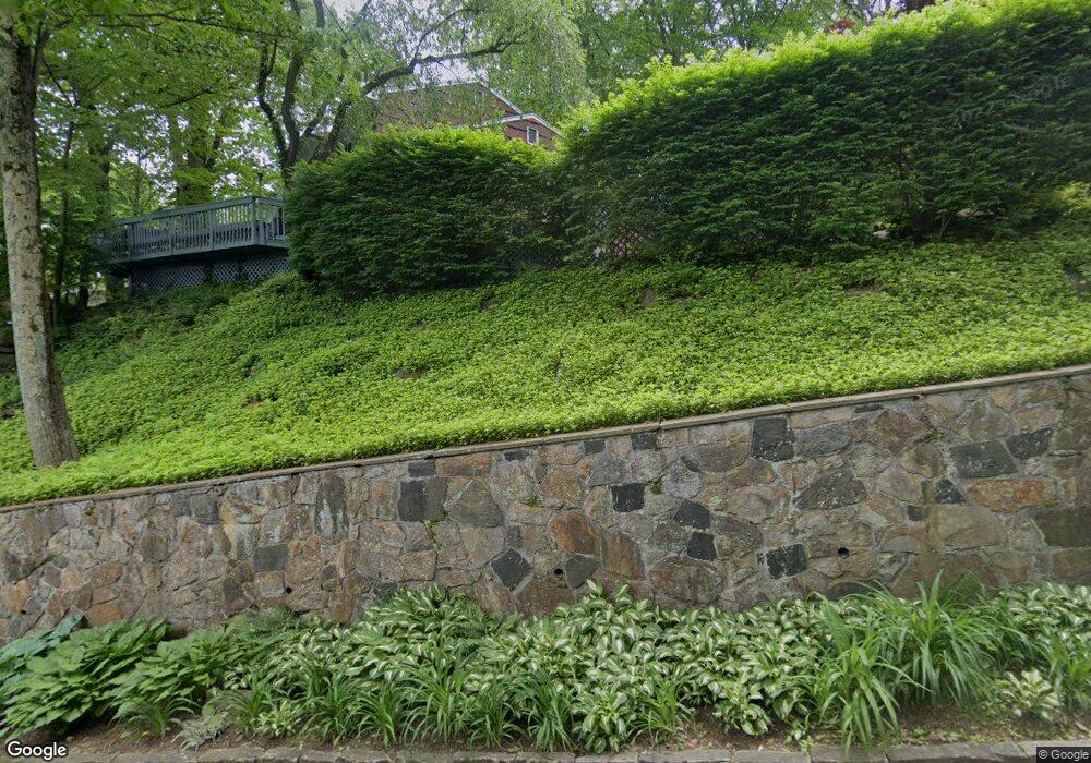
10 Highridge Rd Hartsdale, NY 10530
Greenville Westchester NeighborhoodEstimated Value: $1,396,000 - $1,659,000
--
Bed
--
Bath
2,665
Sq Ft
$569/Sq Ft
Est. Value
About This Home
This home is located at 10 Highridge Rd, Hartsdale, NY 10530 and is currently estimated at $1,515,352, approximately $568 per square foot. 10 Highridge Rd is a home located in Westchester County with nearby schools including Edgemont Junior/Senior High School, Sacred Heart School, and The Leffell School.
Ownership History
Date
Name
Owned For
Owner Type
Purchase Details
Closed on
Jun 14, 2011
Sold by
Olson William C
Bought by
Avolio Steve
Current Estimated Value
Home Financials for this Owner
Home Financials are based on the most recent Mortgage that was taken out on this home.
Original Mortgage
$621,000
Outstanding Balance
$427,904
Interest Rate
4.62%
Mortgage Type
New Conventional
Estimated Equity
$1,087,448
Create a Home Valuation Report for This Property
The Home Valuation Report is an in-depth analysis detailing your home's value as well as a comparison with similar homes in the area
Home Values in the Area
Average Home Value in this Area
Purchase History
| Date | Buyer | Sale Price | Title Company |
|---|---|---|---|
| Avolio Steve | $795,000 | Thoroughbred Title Services |
Source: Public Records
Mortgage History
| Date | Status | Borrower | Loan Amount |
|---|---|---|---|
| Open | Avolio Steve | $621,000 |
Source: Public Records
Tax History Compared to Growth
Tax History
| Year | Tax Paid | Tax Assessment Tax Assessment Total Assessment is a certain percentage of the fair market value that is determined by local assessors to be the total taxable value of land and additions on the property. | Land | Improvement |
|---|---|---|---|---|
| 2024 | $39,193 | $1,261,900 | $667,500 | $594,400 |
| 2023 | $36,804 | $1,142,400 | $570,500 | $571,900 |
| 2022 | $35,045 | $1,082,300 | $570,500 | $511,800 |
| 2021 | $32,322 | $1,002,100 | $570,500 | $431,600 |
| 2020 | $31,954 | $927,500 | $579,100 | $348,400 |
| 2019 | $31,530 | $927,500 | $579,100 | $348,400 |
| 2018 | $28,949 | $927,500 | $579,100 | $348,400 |
| 2017 | $15,228 | $910,000 | $579,100 | $330,900 |
| 2016 | $11,007 | $1,005,800 | $665,600 | $340,200 |
| 2015 | -- | $22,650 | $3,150 | $19,500 |
| 2014 | -- | $22,650 | $3,150 | $19,500 |
| 2013 | $25,133 | $22,650 | $3,150 | $19,500 |
Source: Public Records
Map
Nearby Homes
- 334 Central Park Ave Unit H9
- 356 Central Park Ave Unit E 10
- 348 Central Park Ave Unit C15
- 348 Central Park Ave Unit C-24
- 370 Central Park Ave Unit 3D
- 372 Central Park Ave Unit 2E
- 3 Walworth Ave
- 8 Horseguard Ln
- 177 E Hartsdale Ave Unit 4C
- 177 E Hartsdale Ave Unit 2Y
- 3 Elm Rd
- 500 Central Park Ave Unit 324
- 7 Rockledge Rd Unit 2B
- 46 Marion Ave
- 508 Central Park Ave Unit 5310
- 153 E Hartsdale Ave Unit 1B
- 1 Thomas Ct
- 119 E Hartsdale Ave Unit 3K
- 119 E Hartsdale Ave Unit 7K
- 119 E Hartsdale Ave Unit 6B
- 24 Highridge Rd
- 30 Highridge Rd
- 34 Highridge Rd
- 63 Midvale Rd
- 153 Old Colony Rd
- 33 Highridge Rd
- 35 Highridge Rd
- 44 Highridge Rd
- 17 Highridge Rd
- 70 Midvale Rd
- 37 Highridge Rd
- 60 Midvale Rd
- 163 Old Colony Rd
- 125 Old Colony Rd
- 0 Old Colony Rd Unit 3231110
- 0 Old Colony Rd Unit 3309492
- 0 Old Colony Rd Unit 3309487
- 0 Old Colony Rd Unit 4425926
- 0 Old Colony Rd Unit 4546828
- 0 Old Colony Rd Unit ONEH3231110