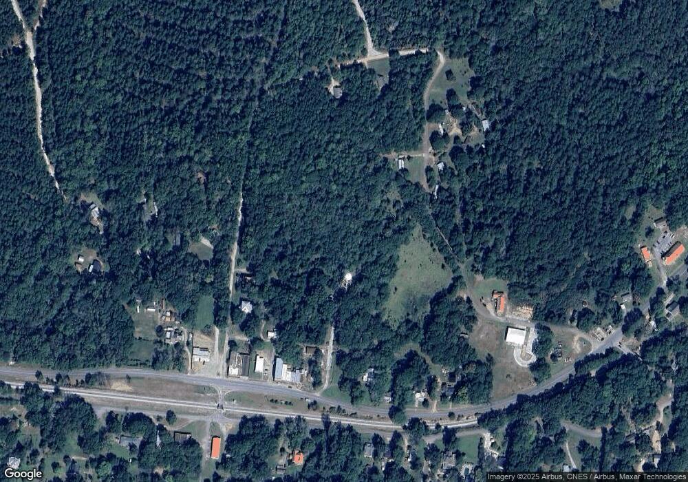
10 Highway 72 E Carlton, GA 30627
Estimated Value: $255,311 - $415,000
--
Bed
--
Bath
2,550
Sq Ft
$126/Sq Ft
Est. Value
About This Home
This home is located at 10 Highway 72 E, Carlton, GA 30627 and is currently estimated at $322,078, approximately $126 per square foot. 10 Highway 72 E is a home with nearby schools including Madison County High School.
Ownership History
Date
Name
Owned For
Owner Type
Purchase Details
Closed on
Feb 28, 2018
Sold by
Burroughs Margaret M
Bought by
Burroughs Margaret Ann
Current Estimated Value
Purchase Details
Closed on
May 7, 1997
Sold by
Ca01-017
Bought by
Burroughs Margaret
Purchase Details
Closed on
Jan 1, 1992
Sold by
Ca01-032
Bought by
Burroughs Margaret
Purchase Details
Closed on
Jan 1, 1989
Sold by
Ca01-035
Bought by
Burroughs Margaret
Purchase Details
Closed on
Jan 1, 1988
Sold by
Ca01-017
Bought by
Sandra Smith
Create a Home Valuation Report for This Property
The Home Valuation Report is an in-depth analysis detailing your home's value as well as a comparison with similar homes in the area
Home Values in the Area
Average Home Value in this Area
Purchase History
| Date | Buyer | Sale Price | Title Company |
|---|---|---|---|
| Burroughs Margaret Ann | -- | -- | |
| Burroughs Margaret | $2,700 | -- | |
| Burroughs Margaret | -- | -- | |
| Burroughs Margaret | -- | -- | |
| Sandra Smith | $2,200 | -- |
Source: Public Records
Tax History Compared to Growth
Tax History
| Year | Tax Paid | Tax Assessment Tax Assessment Total Assessment is a certain percentage of the fair market value that is determined by local assessors to be the total taxable value of land and additions on the property. | Land | Improvement |
|---|---|---|---|---|
| 2025 | $2,198 | $88,657 | $15,881 | $72,776 |
| 2024 | $2,190 | $86,316 | $15,881 | $70,435 |
| 2023 | $2,251 | $78,922 | $13,234 | $65,688 |
| 2022 | $1,985 | $67,168 | $9,098 | $58,070 |
| 2021 | $1,620 | $47,514 | $9,098 | $38,416 |
| 2020 | $1,582 | $46,190 | $7,774 | $38,416 |
| 2019 | $1,728 | $49,882 | $8,552 | $41,330 |
| 2018 | $3,259 | $103,238 | $62,956 | $40,282 |
| 2017 | $2,971 | $92,350 | $53,240 | $39,110 |
| 2016 | $2,496 | $86,505 | $53,240 | $33,265 |
| 2015 | $2,294 | $86,505 | $53,240 | $33,265 |
| 2014 | $2,114 | $80,441 | $47,916 | $32,525 |
| 2013 | -- | $80,441 | $47,916 | $32,525 |
Source: Public Records
Map
Nearby Homes
- 6367 Highway 72 E
- 6476 Georgia 72
- 670 S Railroad Ave
- 667 Paoli Rd
- 724 Bertha Willis Rd
- 88 S Railroad Ave
- 376 Paoli Rd
- 0 Broad River Rd Unit 10650042
- 3614 Georgia 72
- 00 River Rd
- 0 Berkley Rd Unit 10545423
- 600 Piney Grove Rd
- 0 River Rd Unit 10639917
- 730 Osley Mill Rd
- 1163 Nickville Rd
- 474 Watson Mill
- 490 Watson Mill
- 5 Watson Mill
- 4 Watson Mill
- 6 Watson Mill
- 265 N Fifth Ave
- 96 N Seventh St
- 21 Fifth Ave
- 176 N Fifth Ave
- 105 N 7th St
- 105 N Seventh St
- 115 N Fifth Ave
- 5769 Hwy 72e
- 5869 Hwy 72e
- 320 N 7th St
- 320 N Seventh St
- 5869 Highway 72 E
- N N 7th St
- 169 N 7th St
- 360 N Seventh St
- 5707 Highway 72 E
- 5707 Highway 72 E
- 5895 Hwy 72e
- 77 N 7th St
- 5895 Highway 72 E
