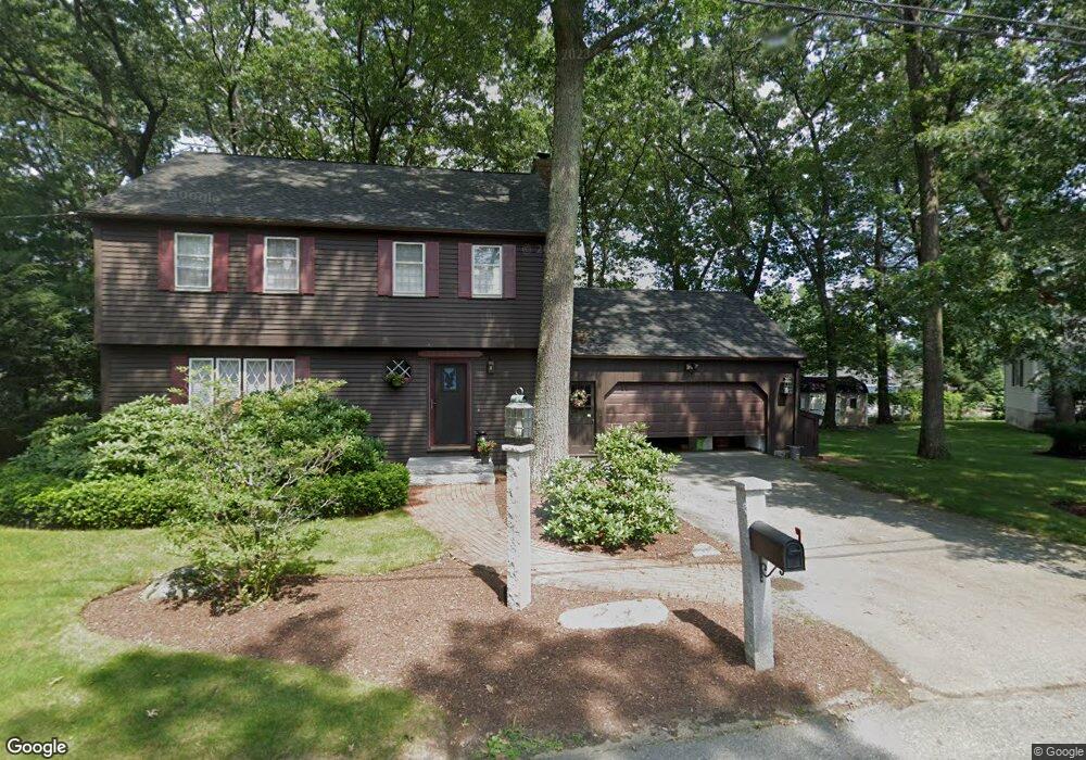
10 Hobart Rd Methuen, MA 01844
The East End NeighborhoodEstimated Value: $600,000 - $648,000
4
Beds
2
Baths
1,760
Sq Ft
$354/Sq Ft
Est. Value
About This Home
This home is located at 10 Hobart Rd, Methuen, MA 01844 and is currently estimated at $622,576, approximately $353 per square foot. 10 Hobart Rd is a home located in Essex County with nearby schools including Timony Grammar School, Methuen High School, and Community Day Charter Public School - Gateway.
Ownership History
Date
Name
Owned For
Owner Type
Purchase Details
Closed on
Jul 10, 2023
Sold by
Shirley A Lapointe 2008 T A and Shirley Lapointe
Bought by
Nakkoul Raghed J and Alibrahim Nasim I
Current Estimated Value
Home Financials for this Owner
Home Financials are based on the most recent Mortgage that was taken out on this home.
Original Mortgage
$531,643
Outstanding Balance
$516,479
Interest Rate
6.25%
Mortgage Type
FHA
Estimated Equity
$106,097
Purchase Details
Closed on
Apr 14, 2008
Sold by
Lapointe Shirley A
Bought by
Shirley A Lapointe T A and Shirley Lapointe
Create a Home Valuation Report for This Property
The Home Valuation Report is an in-depth analysis detailing your home's value as well as a comparison with similar homes in the area
Home Values in the Area
Average Home Value in this Area
Purchase History
| Date | Buyer | Sale Price | Title Company |
|---|---|---|---|
| Nakkoul Raghed J | $550,000 | None Available | |
| Shirley A Lapointe T A | -- | -- | |
| Shirley A Lapointe T A | -- | -- |
Source: Public Records
Mortgage History
| Date | Status | Borrower | Loan Amount |
|---|---|---|---|
| Open | Nakkoul Raghed J | $531,643 | |
| Closed | Nakkoul Raghed J | $531,643 | |
| Previous Owner | Shirley A Lapointe T A | $100,000 | |
| Previous Owner | Shirley A Lapointe T A | $16,000 | |
| Previous Owner | Shirley A Lapointe T A | $10,497 |
Source: Public Records
Tax History
| Year | Tax Paid | Tax Assessment Tax Assessment Total Assessment is a certain percentage of the fair market value that is determined by local assessors to be the total taxable value of land and additions on the property. | Land | Improvement |
|---|---|---|---|---|
| 2025 | $4,917 | $464,700 | $216,900 | $247,800 |
| 2024 | $4,862 | $447,700 | $197,200 | $250,500 |
| 2023 | $4,691 | $400,900 | $176,100 | $224,800 |
| 2022 | $4,359 | $334,000 | $140,900 | $193,100 |
| 2021 | $4,111 | $311,700 | $133,800 | $177,900 |
| 2020 | $4,086 | $304,000 | $133,800 | $170,200 |
| 2019 | $4,067 | $286,600 | $126,800 | $159,800 |
| 2018 | $3,983 | $279,100 | $126,800 | $152,300 |
| 2017 | $3,894 | $265,800 | $126,800 | $139,000 |
| 2016 | $3,898 | $263,200 | $126,800 | $136,400 |
| 2015 | $3,765 | $257,900 | $126,800 | $131,100 |
Source: Public Records
Map
Nearby Homes
- 30 Anderson Dr
- 68 Ashford St
- 396 Oak St
- 65 Arthur St
- 133 Pleasant Valley St
- 128 Pleasant Valley St
- 51 Ford St Unit A
- 7 Erhardt Terrace
- 5 Pilgrim Cir Unit C
- 18 Erhardt Terrace
- 12 Annette St
- 9 Russ St
- 179 Pleasant Valley St Unit F
- 593 Prospect St
- 14 Court St
- 0 Schley St
- 39 Swan Ave
- 32 Josephine Ave
- 611 Prospect St
- 201 Aberdeen Rd
Your Personal Tour Guide
Ask me questions while you tour the home.