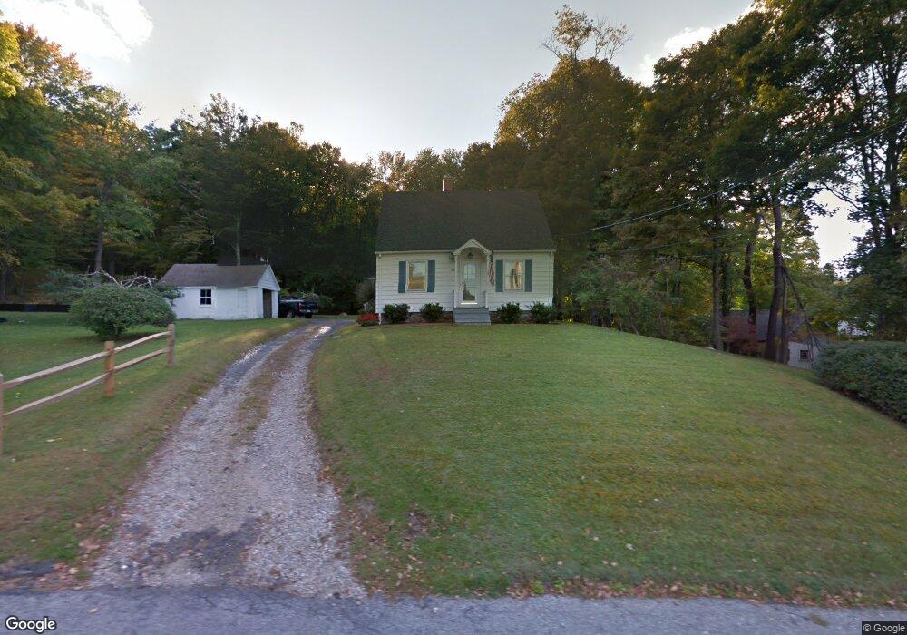
10 Howe Rd Litchfield, CT 06759
Litchfield AreaEstimated Value: $319,248 - $414,000
About This Home
This home is located at 10 Howe Rd, Litchfield, CT 06759 and is currently estimated at $369,812, approximately $335 per square foot. 10 Howe Rd is a home located in Litchfield County with nearby schools including Center School, Litchfield Intermediate School, and Litchfield High School.
Ownership History
We collect this data history from publicly available records. To have your information removed, we recommend requesting removal directly through your county’s website.
Purchase Details
Home Values in the Area
Average Home Value in this Area
Purchase History
We collect this data history from publicly available records. To have your information removed, we recommend requesting removal directly through your county’s website.
| Date | Buyer | Sale Price | Title Company |
|---|---|---|---|
| -- | -- |
Mortgage History
We collect this data history from publicly available records. To have your information removed, we recommend requesting removal directly through your county’s website.
| Date | Status | Borrower | Loan Amount |
|---|---|---|---|
| Open | $50,000 |
Tax History
We collect this data history from publicly available records. To have your information removed, we recommend requesting removal directly through your county’s website.
| Year | Tax Paid | Tax Assessment Tax Assessment Total Assessment is a certain percentage of the fair market value that is determined by local assessors to be the total taxable value of land and additions on the property. | Land | Improvement |
|---|---|---|---|---|
| 2025 | $4,101 | $205,040 | $66,500 | $138,540 |
| 2024 | $3,793 | $205,040 | $66,500 | $138,540 |
| 2023 | $3,749 | $140,420 | $60,400 | $80,020 |
| 2022 | $3,763 | $140,420 | $60,400 | $80,020 |
| 2021 | $3,876 | $140,420 | $60,400 | $80,020 |
| 2020 | $3,890 | $140,420 | $60,400 | $80,020 |
| 2019 | $3,960 | $140,420 | $60,400 | $80,020 |
| 2018 | $3,941 | $142,280 | $78,300 | $63,980 |
| 2017 | $3,927 | $142,280 | $78,300 | $63,980 |
| 2016 | $3,799 | $142,280 | $78,300 | $63,980 |
| 2015 | -- | $142,280 | $78,300 | $63,980 |
| 2014 | $3,585 | $142,280 | $78,300 | $63,980 |
Map
- 25 Spruce Dr
- 67 E Litchfield Rd S
- 258 Hunter Dr Unit 258
- 148 Peck Rd
- 184 Fern Ave
- 168 Fern Ave
- 82 Orchard Hill Rd
- 49 S Chapel St
- 699 S Main St Unit 319
- 374 Torrington Rd
- 158 Mckinley St
- 184 Campville Hill Rd
- 406 New Litchfield St
- 52 Tracy Ave
- 548 Park Ave
- 0 Clearview Ave Unit 24158105
- 84 Jackson St
- 197 Albert St
- 75 Pierce St
- 0 Reder Rd Unit 24133780
Ask me questions while you tour the home.